



Todas las subastas / Arte, Pintura & obra gráfica / Vintage 18th Century Street Map, London, Lincoln's Inn, The Strand, Cartography
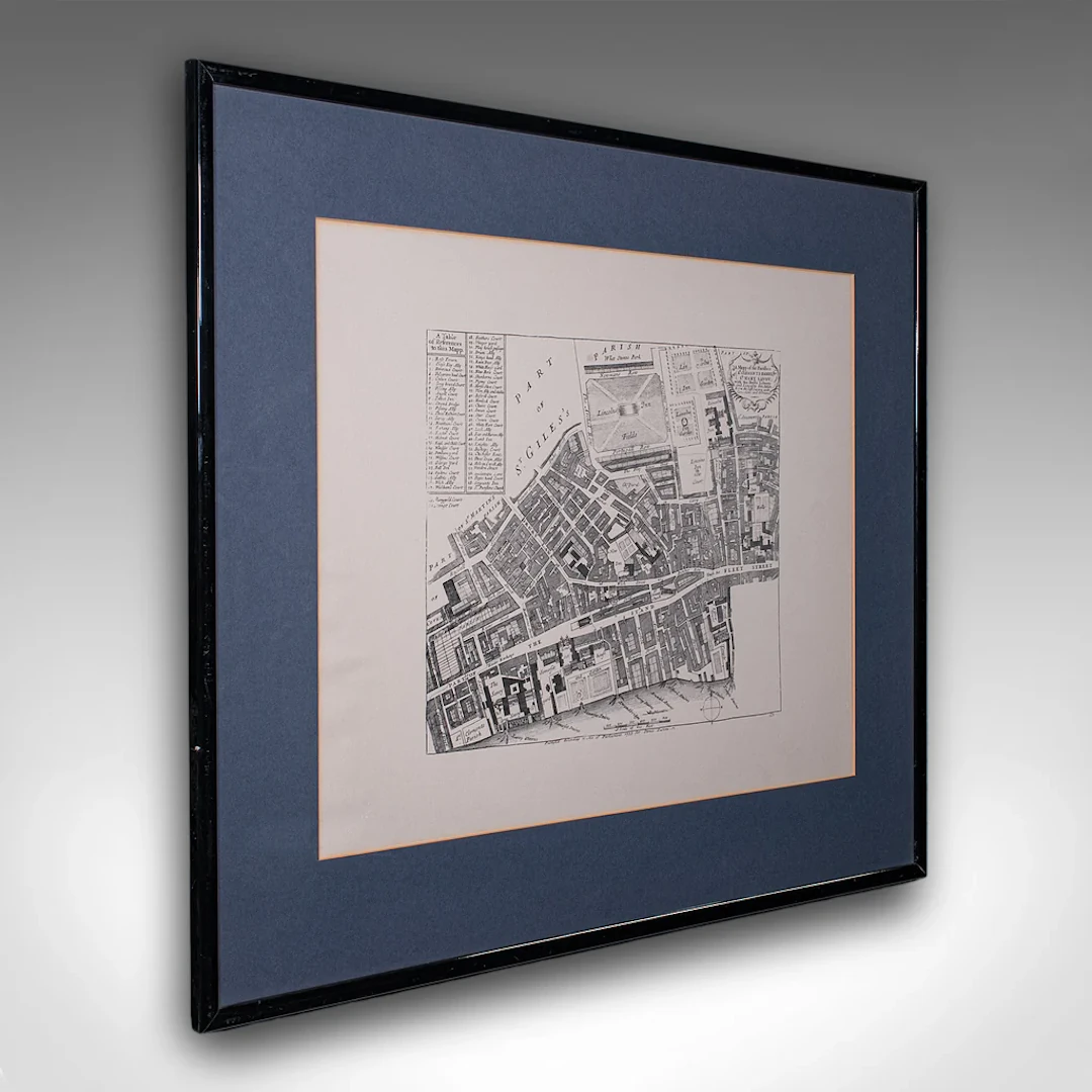
This is a vintage 18th century street map of London. An English, framed reproduction showing the parishes of St Clement's Danes and St Mary Savoy, dating to the late 20th century, circa 1980. Full title: A Mapp of the Parishes of St. Clements Danes; St. Mary Savoy; with the Rolls Liberty and Lincolns Inn, taken from the survey with corrections and additions. This is a fascinating vintage reproduction of an 18th century London street map, with appealing lithography detail and tasteful presentation. Delivered ready to display. Max Width: 71cm (28'')Max Depth: 1.5cm (.5'')Max Height: 61cm (24'') Map Width: 53cm (20.75'')Map Depth: cm ('')Map Height: 42cm (16.5'')
Estimación:€562.25
Ir a la subastaVer todos los artículos deLondon Fine AntiquesoArte, Pintura & obra gráfica
Estimación:
€562.25
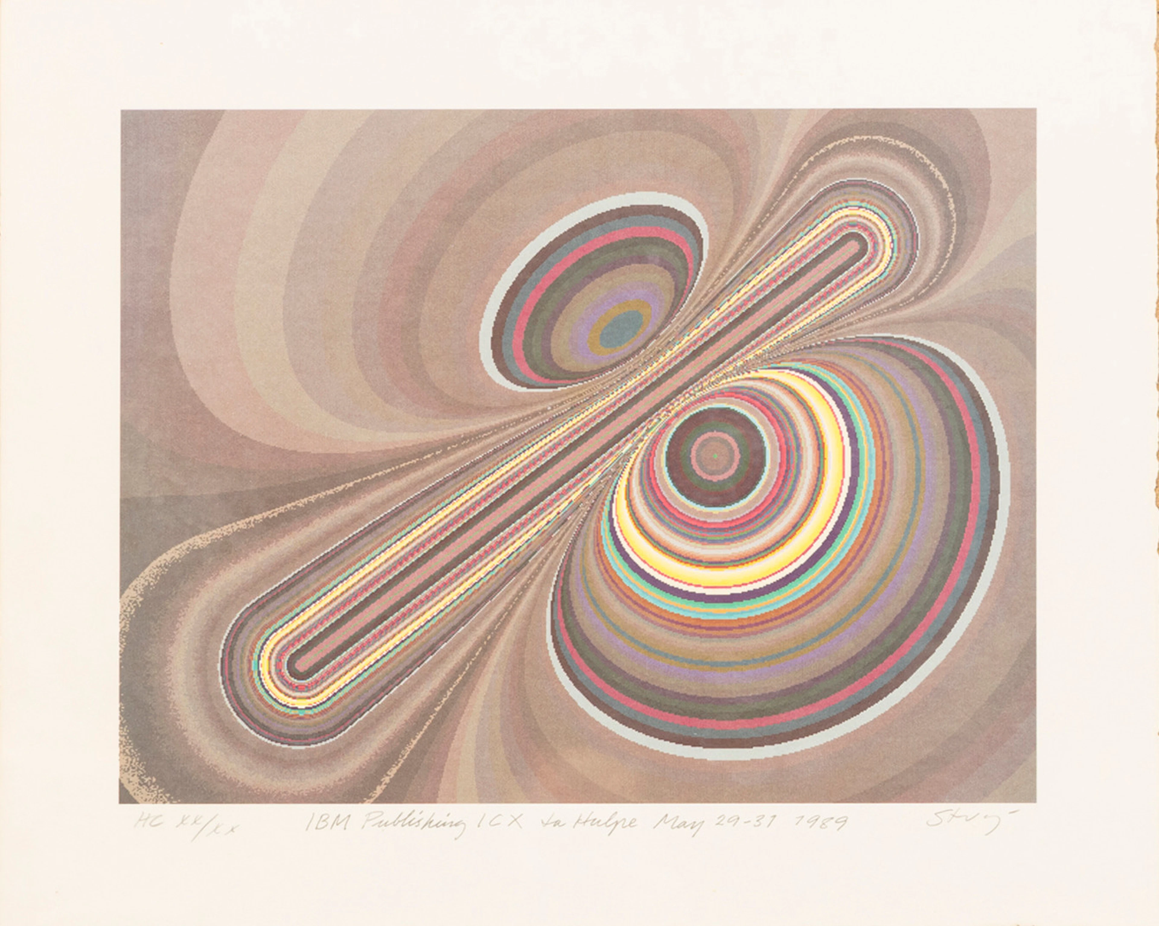
STURE JOHANNESSON. "La hulpe May", färglitografi, signerad, numrerad
10/15/2026
€35.91
Est.: €89.46
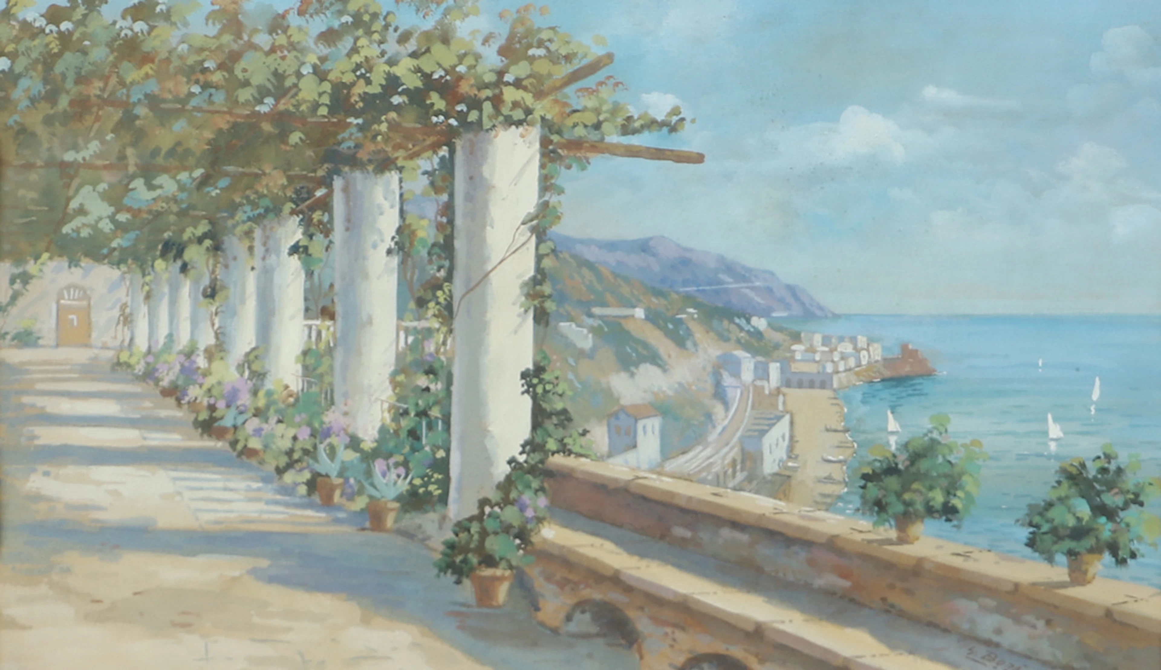
OIDENTIFIERAD KONSTNÄR. Sydländskt kustparti, akvarell, signerad Bora.
10/15/2026

€26.93
Est.: €35.71
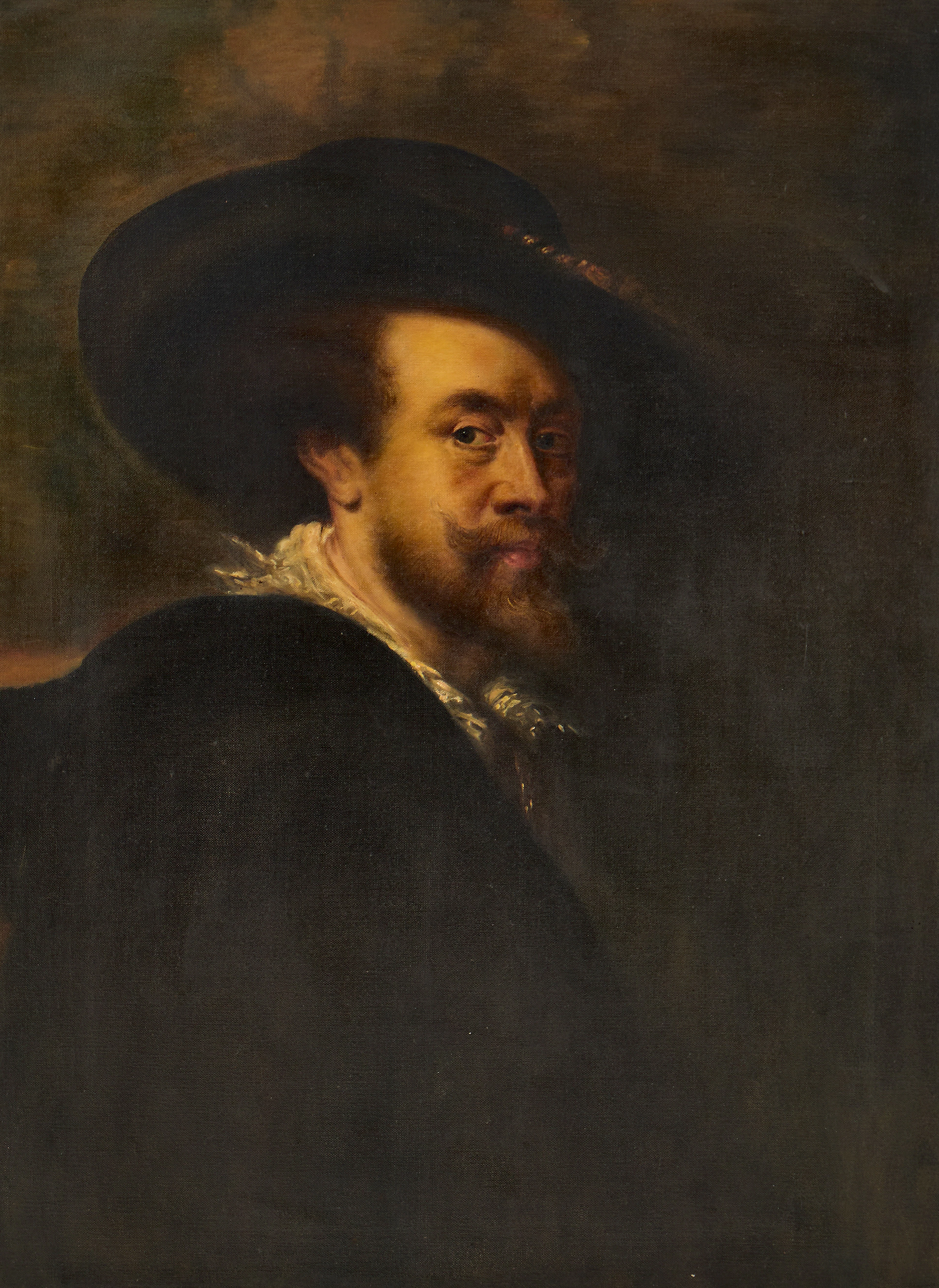
PETER PAUL RUBENS (Flandern, 1577-1640): Kopia efter, Självporträtt
10/15/2026
€269.33
Est.: €357.87


OCT 27 | 4:00 PM
¡Lleva tu subasta a coleccionistas de todo el mundo!
Publica ahoraAl suscribirte, aceptas la política de privacidad. Cancela tu suscripción en cualquier momento.
Barnebys HQ
Brahegatan 10
BOX 5038
114 37 Stockholm
