









Todas las subastas / Libros, mapas, papel & manuscritos / United Kingdom - Sicily

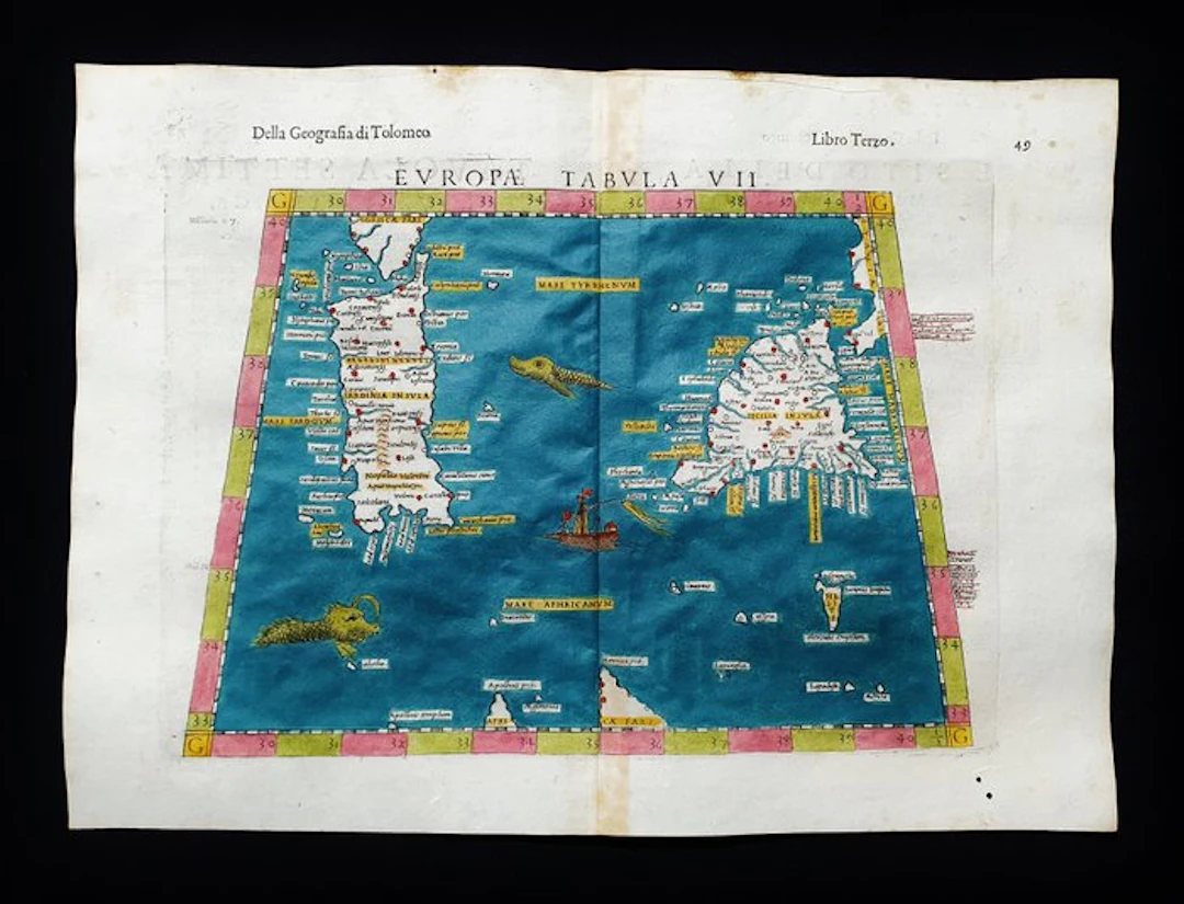
This Geographic Map is an original copperplate engraving from 1599 (16th Century...). This is the Tolomean edition by MAGINI, RUSCELLI, ROSACCIO & MOLETO, printed in 1599 in their work entitled: "The Geography of Claudius Ptolemy the Alexandrian, Translated from Greek into the Italian vernacular language by GIROLAMO RUSCELLI, and now again enlarged by GIOSEFFO ROSACCIO.....Venice, 1599" Beautiful map printed in VENICE, with wide margins, excellent watercolor rendering, and very well detailed in every point. Conditions: the condition is very, very good as in the photo. The overall dimensions of the map are: 34 cm x 25 cm
Estimación:€150
Ir a la subastaVer todos los artículos deCatawikioLibros, mapas, papel & manuscritos
Estimación:
€150
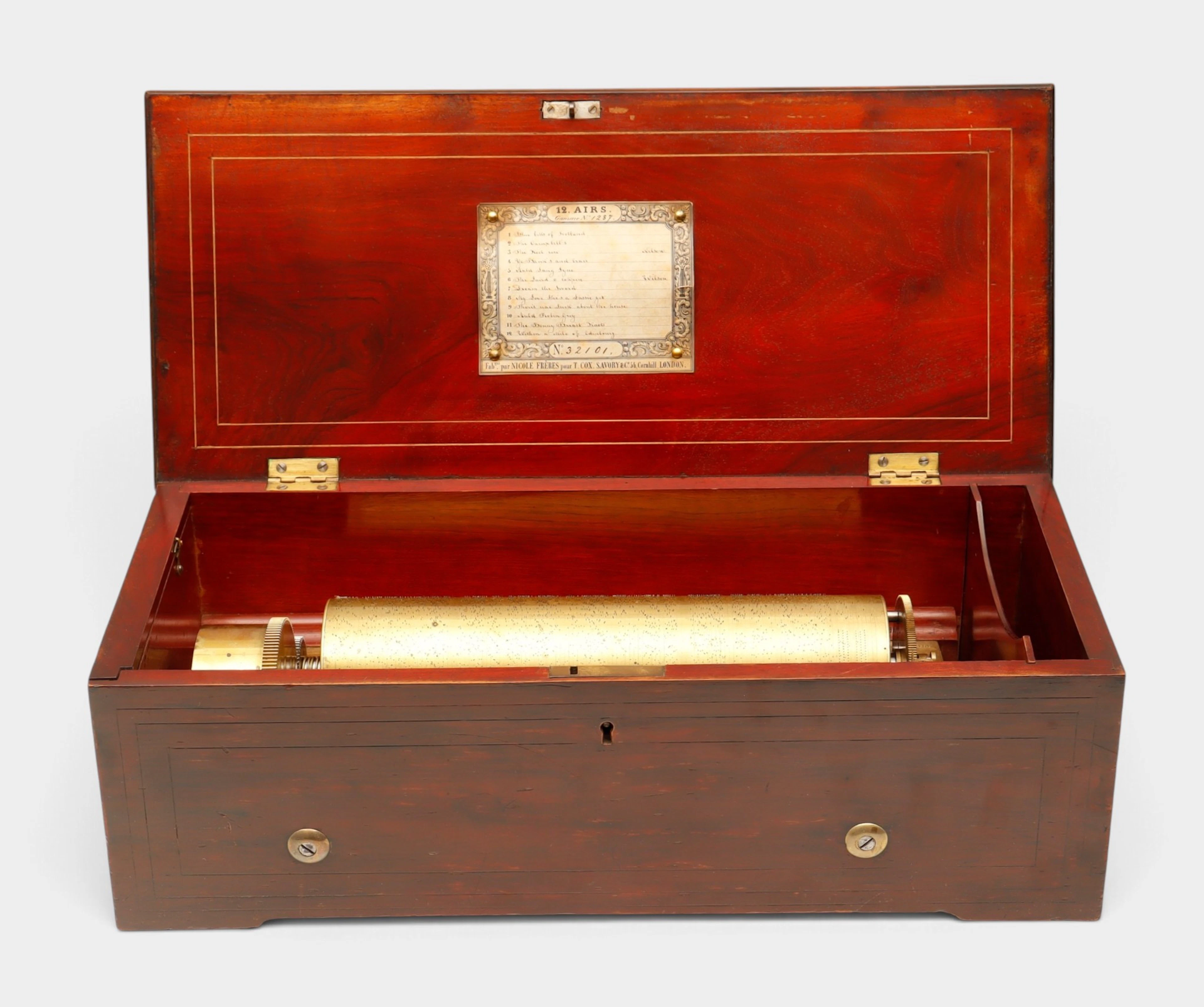
Caja de música suiza de doce canciones de Nicole Frères, hacia 1848-1852.
10/22/2026
€1,350
Est.: €1,300
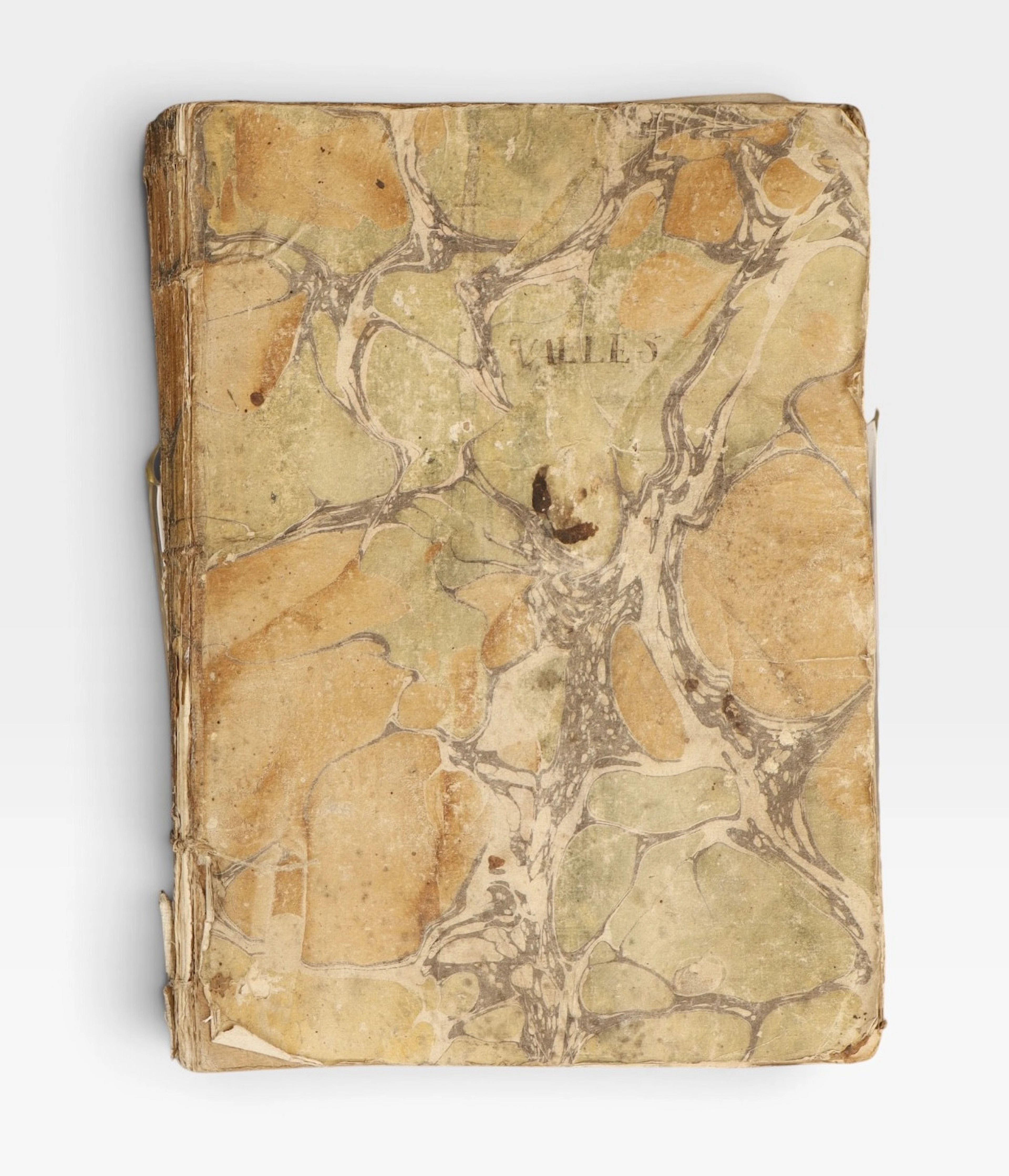
Guerra de la Independencia, Cataluña, 1808-1809.
10/22/2026
€130
Est.: €140


OCT 27 | 4:00 PM
¡Lleva tu subasta a coleccionistas de todo el mundo!
Publica ahoraAl suscribirte, aceptas la política de privacidad. Cancela tu suscripción en cualquier momento.
Barnebys HQ
Brahegatan 10
BOX 5038
114 37 Stockholm
