
Todas las subastas / Libros, mapas, papel & manuscritos / Two 19th century maps

Two 19th century maps
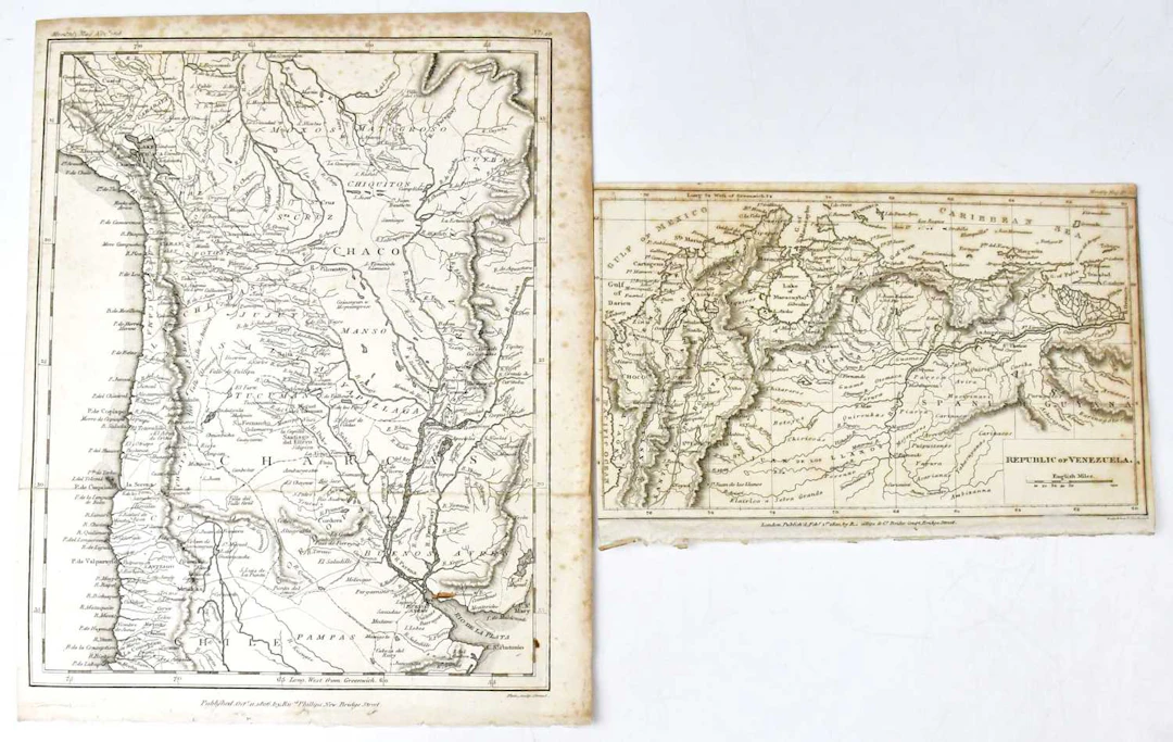
Two 19th century maps, both published Ric'rd Philips, New Bridge Street, comprising Republic of Venezuela, 1820, 13 x 21cm, and Chile/Bolivia, 1806, 27 x 21cm, engraved Neele & Son, together with seventeen early 20th century maps, Société D Éditions Géographiques Maratimes et Coloniales, comprising two Afrique Occidentale Français, eleven Afrique du Nord, Colonies Françaises dans le Pacifique, Planisphère, two Afrique Occidentale Française et Togo, engraved by A. Hausermann, Paris, 71 x 50cm (19). Condition Report, Condition Report, No condition report has been requested on this lot. The absence of a condition report does not rule out wear or damage. Bidders are responsible for satisfying themselves as to the condition of the lot by personal inspection or formal request prior to the sale, Request condition report, Request condition report
Estimación:€47.34
Ir a la subastaVer todos los artículos deAdam PartridgeoLibros, mapas, papel & manuscritos
Estimación:
€47.34
Artículos similares





Resultados de subastas para artículos similares
![[MIRABEAU]. — Les Veillées du couvent ou Le Noviciat d'amour - Lot 2](https://bbys.imgix.net/3696/a8ea4969c8f6744f6998c71ae6a0899af0c4805781f300d5e83bdc5aabcf9275.webp?auto=format&w=3840&q=75)
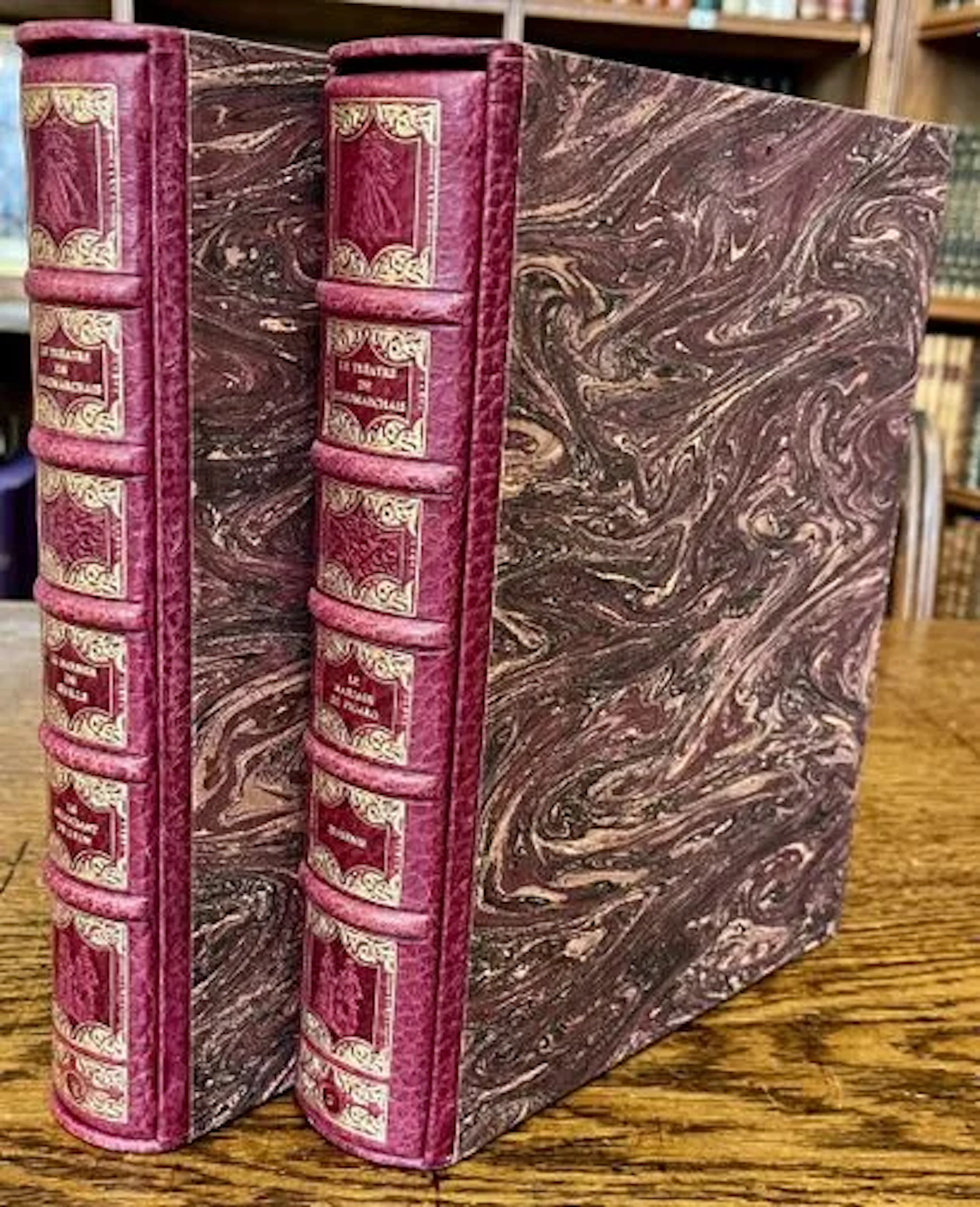
BEAUMARCHAIS — THEATER — JEAN GRADASSI — 2 OF 3 VOLUMES — 19 - Lot 28
10/11/2026

€46
Est.: €50
¡Lleva tu subasta a coleccionistas de todo el mundo!
Publica ahora