








Todas las subastas / Libros, mapas, papel & manuscritos / Pontoppidan - Danske Atlas, 8 Bde.

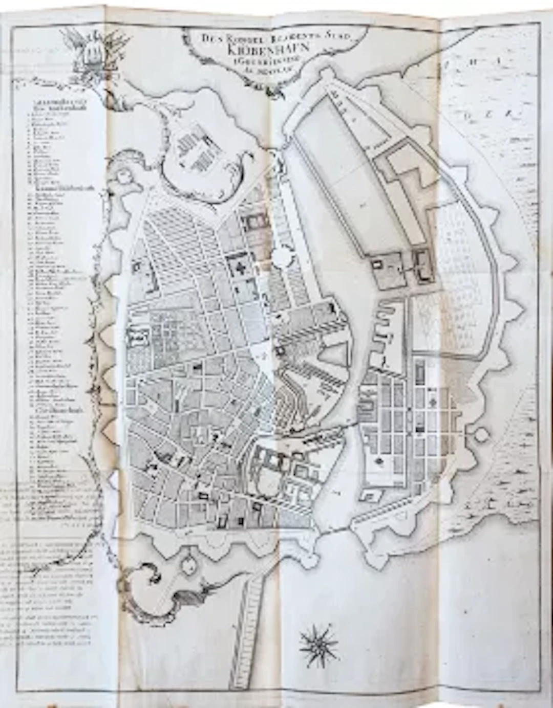
Pontoppidan, E. Den Danske Atlas Eller Konge-Riget Dannemark, Med dets Naturlige Egenskaber, Elementer ... Provintzer, Staeder, Kirker, Slotte og Heere-Garde. Forestillet ved en udförlig Lands-Beskrivelse ... 7 Tle. in 8 Bdn. Kopenhagen, Godiche, 1763-1781. Mit 278 gefalt. bzw. doppelblattgr. Kupferstichansichten u. -plänen, 18 mehrfach gefalt. Kupferstichkarten, 6 gefalt. Tabellen, 2 gestoch. Kopfvignetten u. 1 Textkupfer. 4°. Ldr.-Bde. d. Zt. mit reicher RVerg. u. Rückenschild (Rücken etwas berieben, Kapitale teils mit Einriss). Bruun, Bibliotheca Danica II, 600; Graesse V, 410.- Erste Ausgabe.- Der dänische Theologe und Historiker Erik Pontoppidan (1698-1764) war um 1730 Pastor auf der Insel Alsen, hier entstanden seine ersten topographischen und historischen Werke, aus denen Jahrzehnte später sein Hauptwerk, der vorliegende Atlas, erwuchs, das erst nach seinem Tod vollendet wurde.- Reich ausgestatteter Atlas mit einer mehrfach gefalteten Übersichtskarte, zahlreichen Ansichten und Grundrissen, Darstellungen von Flora und Fauna, Münzen, Trachten u.a. Band II behandelt Kopenhagen und Umgebung, Band VII das Herzogtum Schleswig mit Ansichten von Husum, Tönning, Friedrichstadt, Eckernförde, Flensburg u.a.- Ab Band IV fortgesetzt von H. de Hofmann.- Breitrandiges Exemplar auf kräftigem Papier. Pontoppidan, E. Den Danske Atlas Eller Konge-Riget Dannemark, Med dets Naturlige Egenskaber, Elementer ... Provintzer, Staeder, Kirker, Slotte og Heere-Garde. Forestillet ved en udförlig Lands-Beskrivelse ... 7 Tle. in 8 Bdn. Copenhagen, Godiche, 1763-1781. With 278 folded or double-page copperplate engravings and plans, 18 multi-fold copperplate maps, 6 folded tables, 2 engraved head vignettes and 1 text engraving. 4°. Contemporary leather bindings with rich spine decoration and label (spine somewhat rubbed, headcaps partly with tears). Bruun, Bibliotheca Danica II, 600; Graesse V, 410. - First edition. - The Danish theologian and historian Erik Pontoppidan (1698-1764) was a pastor on the island of Als around 1730. It was here that he wrote his first topographical and historical works, from which his major work, the present atlas, grew decades later. This atlas was only completed after his death. - Richly illustrated atlas with a multi-folded overview map, numerous views and floor plans, illustrations of flora and fauna, coins, costumes, etc. Volume II covers Copenhagen and its surroundings, Volume VII the Duchy of Schleswig with views of Husum, Tönning, Friedrichstadt, Eckernförde, Flensburg, etc. - Continued from Volume IV onwards by H. de Hofmann. - Wide-margined copy on heavy paper.
Estimación:€6,000
Ir a la subastaVer todos los artículos deAntiquariat SchrammoLibros, mapas, papel & manuscritos
Estimación:
€6,000
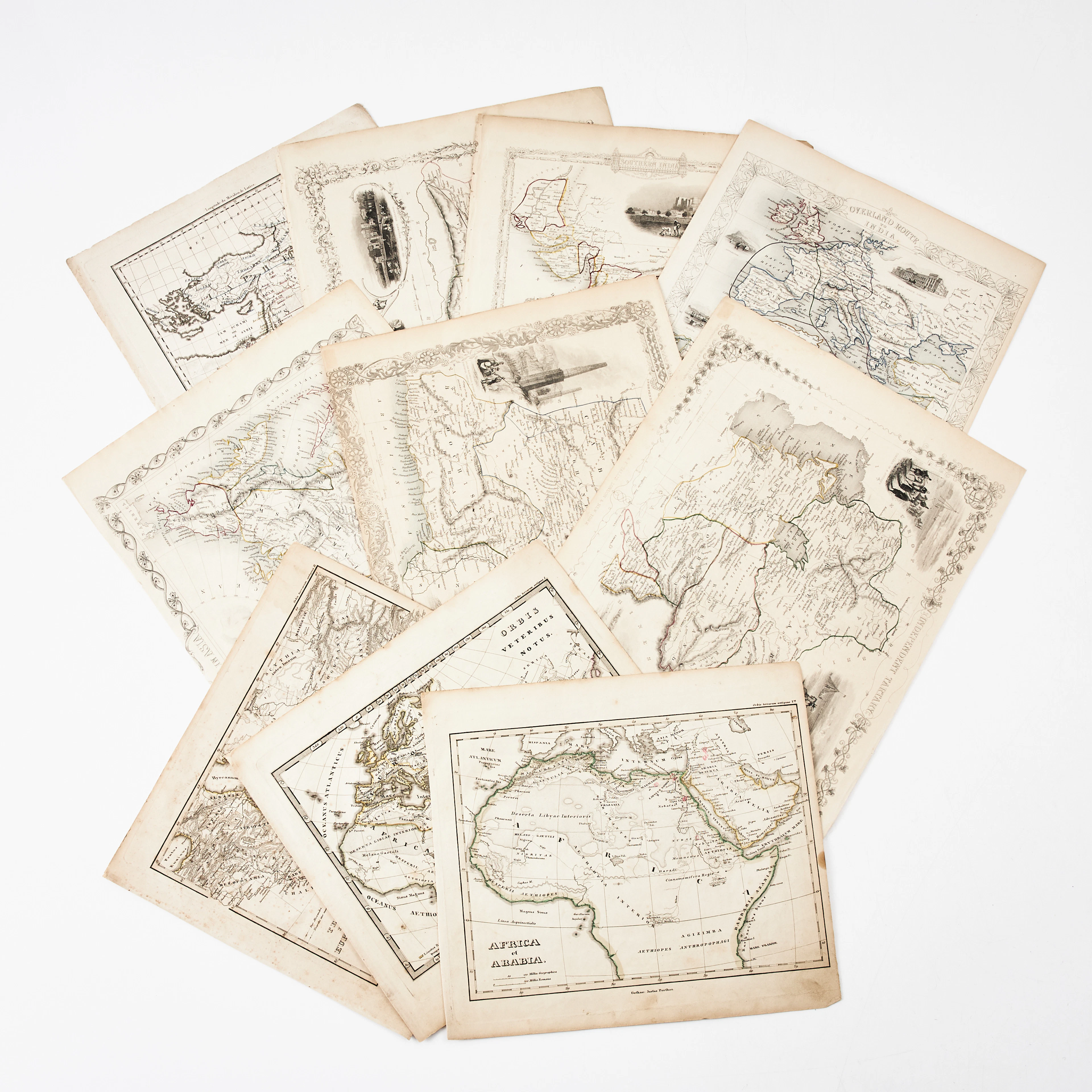
KARTOR 10 ST, bl.a. INDIEN, AFRIKA m.fl., 1800-tal.
10/18/2026
€26.96
Est.: €134.66
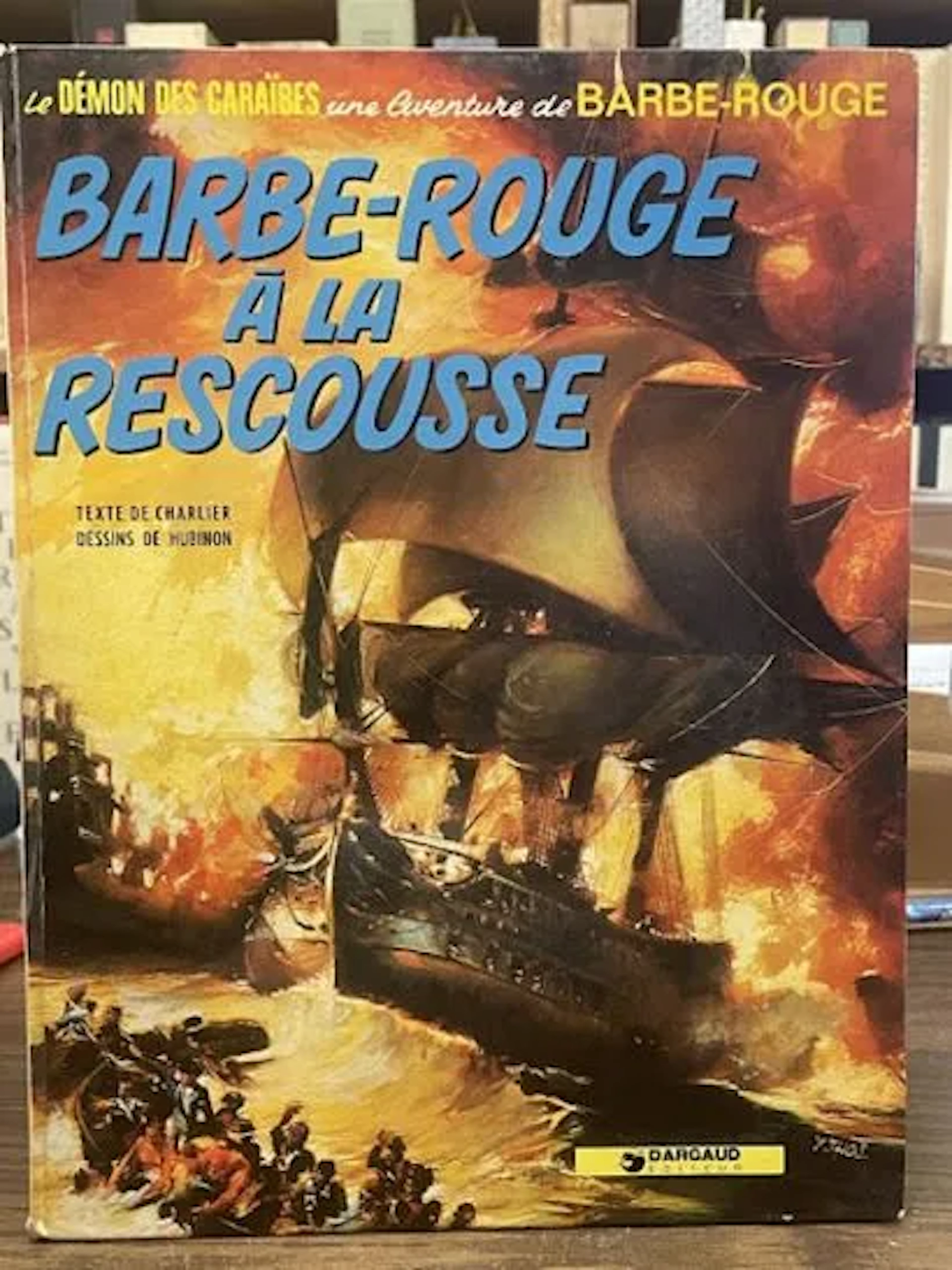
Redbeard Comic Book - Redbeard to the Rescue - Dargaud Repri - Lot 79
10/18/2026

€3
Est.: €15
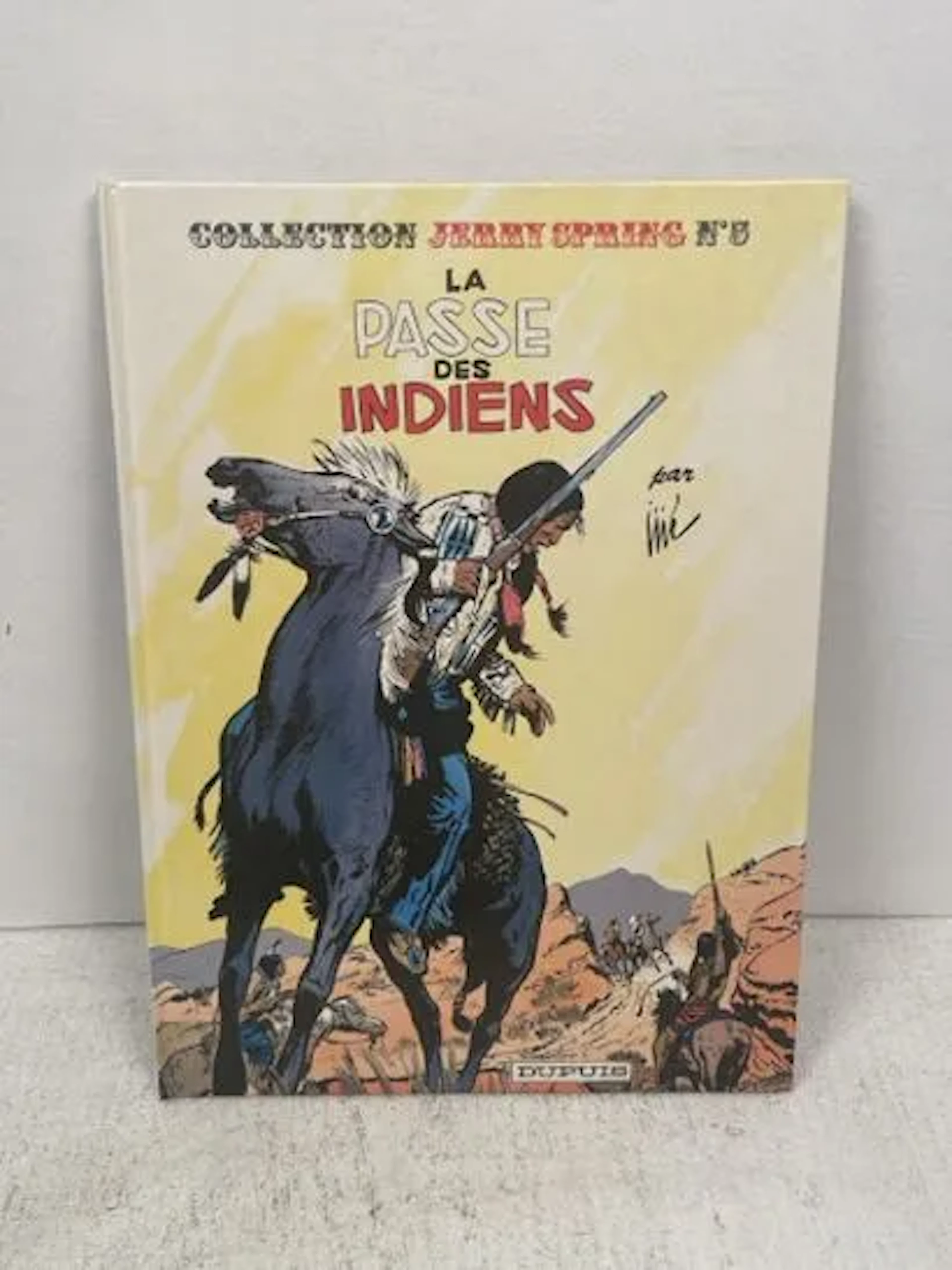
JIJÉ - Jerry Spring : La Passe des Indiens (Éditions Dupuis, - Lot 115
10/18/2026
€12
Est.: €15
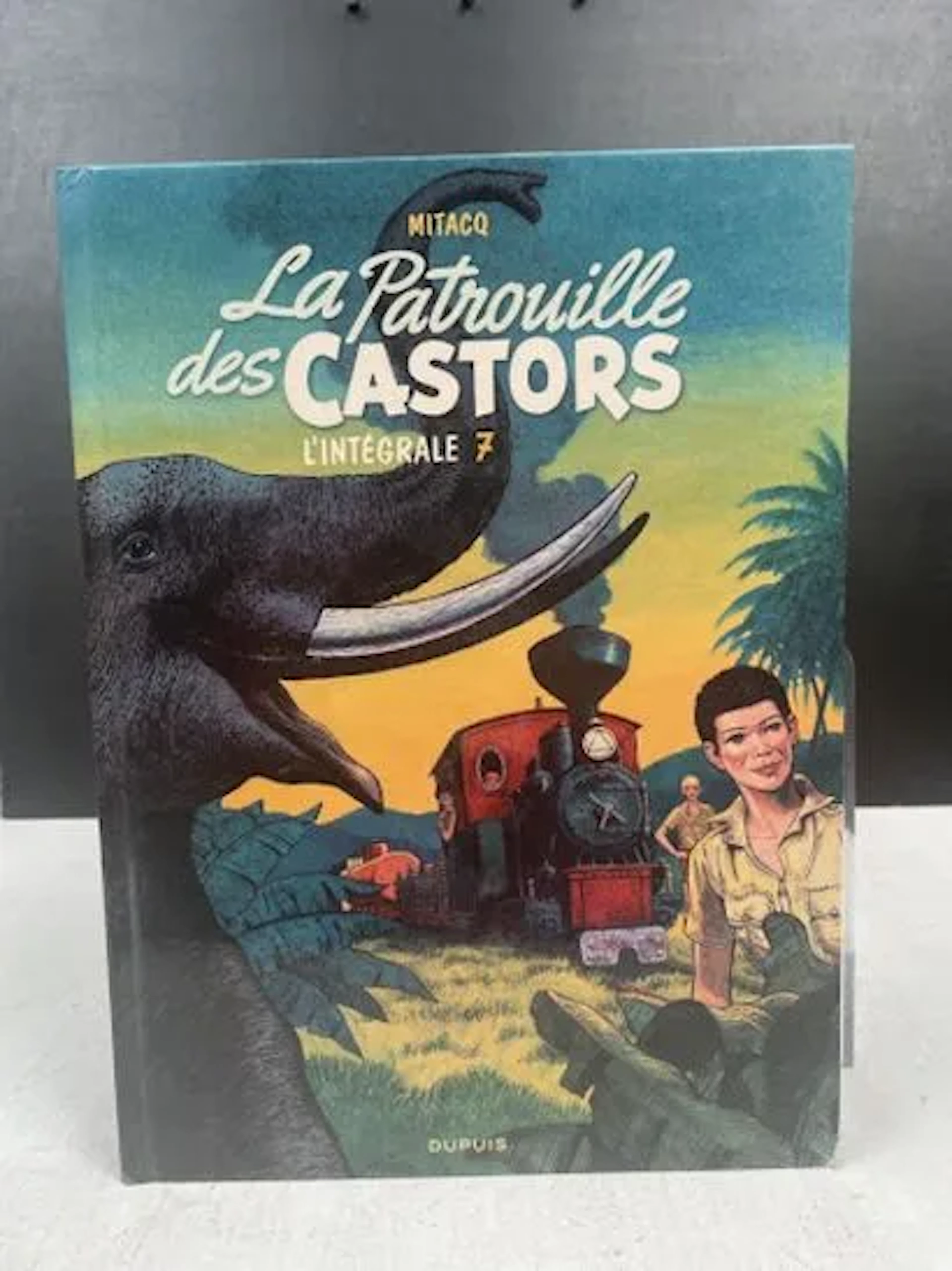
MITACQ & WASTERLAIN - La Patrouille des Castors : L'Intégral - Lot 131
10/18/2026
€9
Est.: €15


OCT 27 | 4:00 PM
¡Lleva tu subasta a coleccionistas de todo el mundo!
Publica ahoraAl suscribirte, aceptas la política de privacidad. Cancela tu suscripción en cualquier momento.
Barnebys HQ
Brahegatan 10
BOX 5038
114 37 Stockholm
