







OCT 27 | 4:00 PM

Todas las subastas / Libros, mapas, papel & manuscritos / Palestine - 't Heylighe Landt: Palaestina (the Holy Land)...

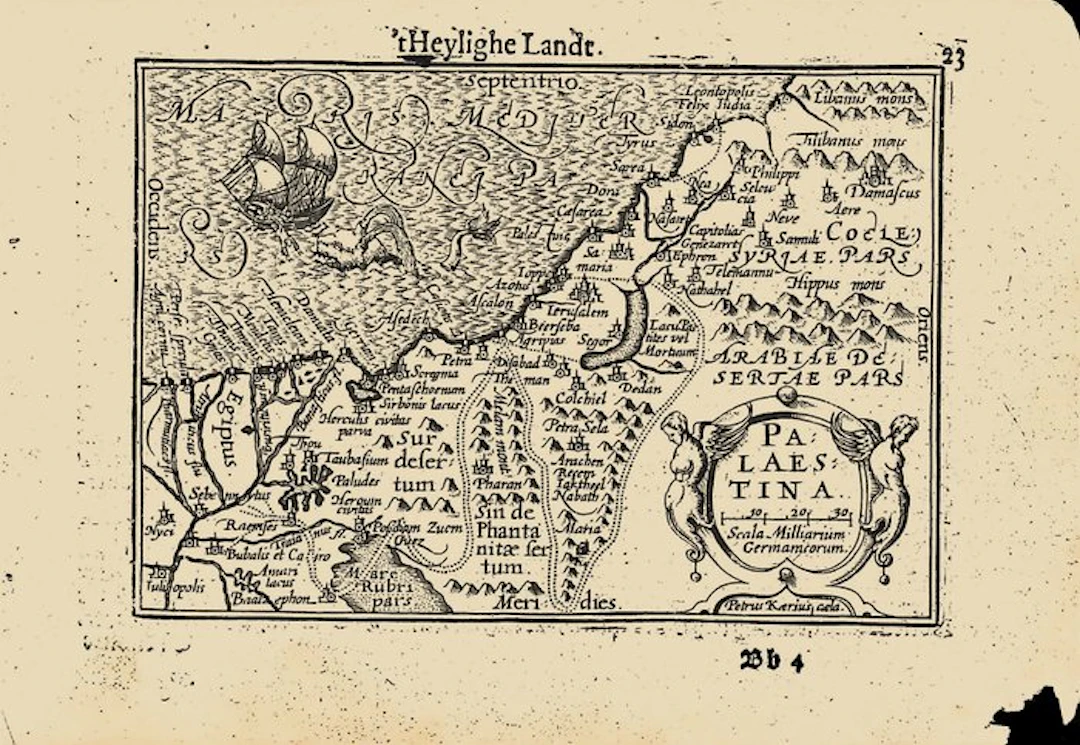
The Dutch text on p. 24 speaks of the land of promise, the land of the patriarchs and prophets where the Son of God took on human flesh; once flowing with milk and honey, it is now, for the sins of its inhabitants, 'a heaven of copper and an earth of iron'. Citing Burchard (Burcardus) it praises the fertility of the soil, and citing Münster it gives the length of the land as 40 Dutch miles, before describing its division at the time of Christ into Judaea, Samaria and Galilee. A portion of the margin missing at the lower right; some roughened edges generally. Maps of the Holy Land were in great demand in the Protestant Netherlands, where readers of the Bible wanted to follow the Exodus and the travels of the apostles on the page. Langenes's small Palaestina put such a map, with a plain Dutch description, into a pocket book. Van den Keere's plate served the Dutch, Latin and French editions until 1616, when Jodocus Hondius II engraved a new, slightly larger plate with scales of latitude and longitude in the border, which distinguishes the later issues. Van der Krogt, Koeman's Atlantes Neerlandici, III, 341:01 (the atlas). Koeman, Atlantes Neerlandici, II, p. 254, Lan 1. Schilder, Monumenta Cartographica Neerlandica, VII, 16.1. Burger, Het Caert-Thresoor (1930). King, Miniature Antique Maps (1996).
Estimación:€2
Ir a la subastaVer todos los artículos deCatawikioLibros, mapas, papel & manuscritos
Estimación:
€2
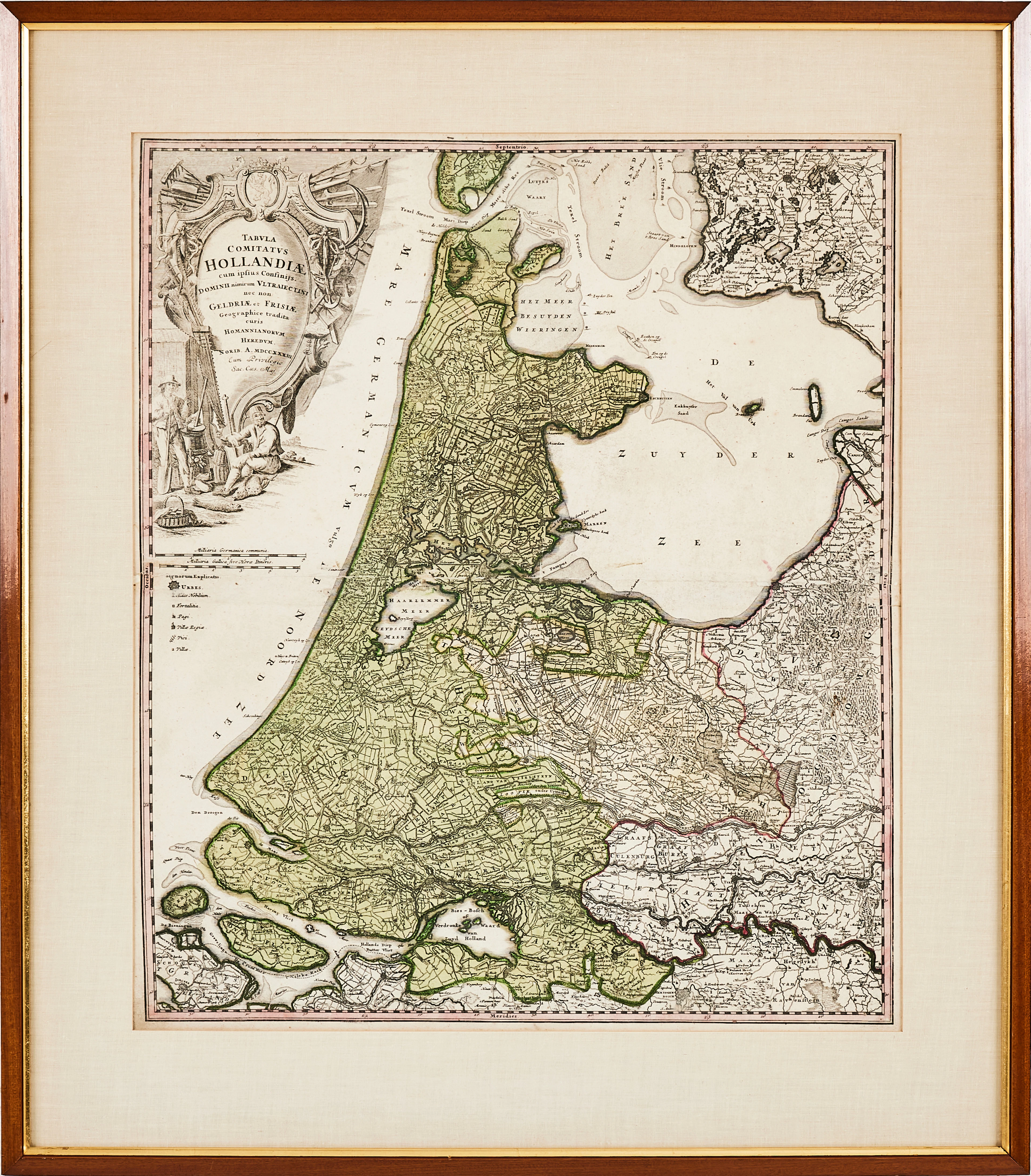
HOMANN, karta över Holland, 1788, "Tabula comitatus Hollandiae" kolorerat
10/12/2026
€89.58
Est.: €178.51
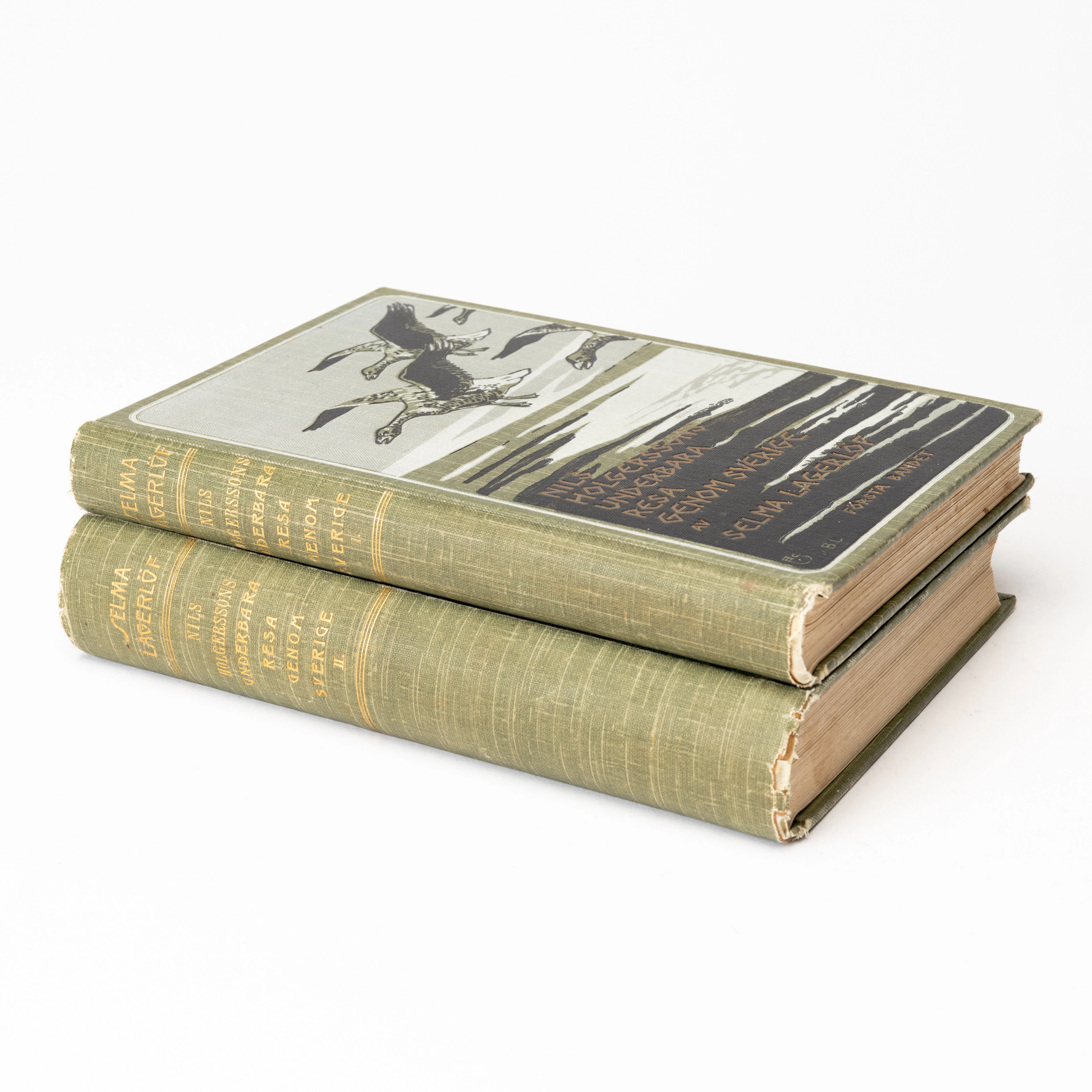
SELMA LAGERLÖF. "Nils Holgerssons underbara resa genom Sverige", första
10/12/2026
€80.62
Est.: €89.25
OCT 27 | 4:00 PM
¡Lleva tu subasta a coleccionistas de todo el mundo!
Publica ahoraAl suscribirte, aceptas la política de privacidad. Cancela tu suscripción en cualquier momento.
Barnebys HQ
Brahegatan 10
BOX 5038
114 37 Stockholm
