









Todas las subastas / Libros, mapas, papel & manuscritos / Netherlands - Seven United Provinces (the Netherlands)...

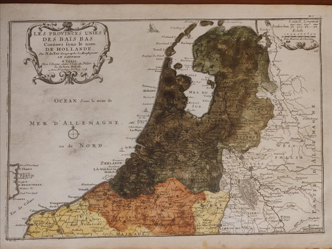
An important and iconic original geographic map of the Republic of the Seven United Netherlands (commonly referred at the time under the general name of Holland), engraved on copper in 1705 by the royal geographer Nicolas de Fer (1646–1720). This sought-after double-page plate, marked with the number 16 in the upper right corner, comes from the renowned geographical work L'Atlas Curieux ou Le Monde représenté dans des cartes générales et particulières, published in Paris at the Royal Sphere ("Chez l'Auteur dans l'Isle du Palais a la Sphere Royale"). The map offers a splendid and clear geopolitical reconstruction of the Dutch territory at the beginning of the eighteenth century. It shows with precision the inner basin of the Zuiderzee (Mer du Sud), the chain of the Frisian Islands (including Texel and Vlieland), and the broad maritime portion dominated by the North Sea (Ocean under the name Mer d'Allemagne ou de Nord). The work extends southward, including the coasts of Zealand and Flanders, reaching west to reveal a glimpse of the English coast near Dover. The copy is magnificently embellished with a rich contemporaneous watercolor coloring of the territories, used to visually distinguish the borders and the provinces of the Republic from neighboring nations. On the upper left stands a monumental Baroque cartouche, asymmetrical, elegantly decorated with scrolls and vegetal motifs, containing the full descriptive title, notes about the author, and the royal privilege. On the upper right is a scientific inset with latitude and longitude indications referring to Amsterdam and the graphical scales in leagues. A collectible piece of exceptional documentary and decorative value, fundamental for connoisseurs of ancient Dutch cartography and the European history of the Grand Siècle. The map is sold accompanied by a descriptive plate of text only Dimensions 26 x 41 cm It will be shipped by courier
Estimación:€200
Ir a la subastaVer todos los artículos deCatawikioLibros, mapas, papel & manuscritos
Estimación:
€200
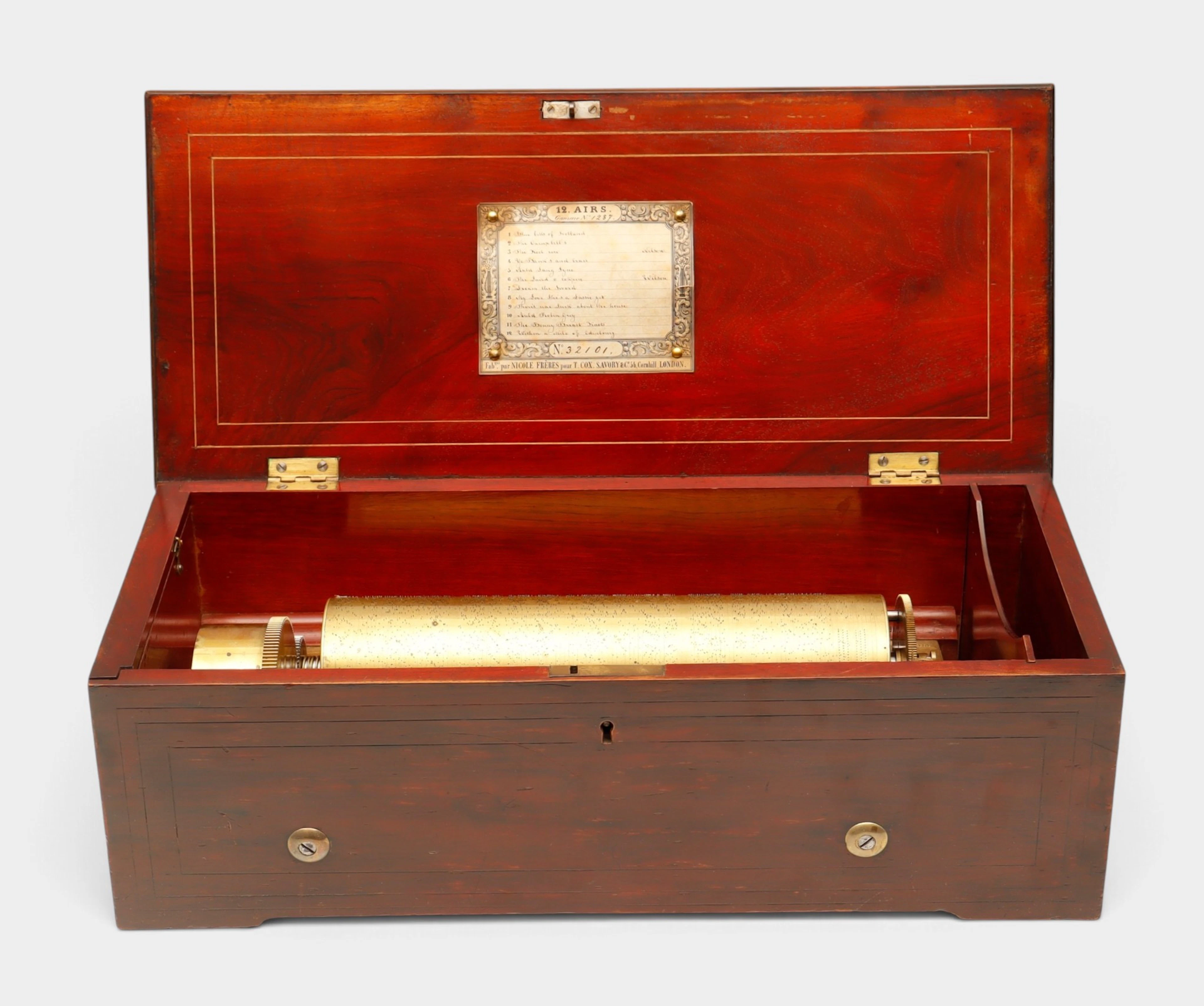
Caja de música suiza de doce canciones de Nicole Frères, hacia 1848-1852.
10/22/2026
€1,350
Est.: €1,300
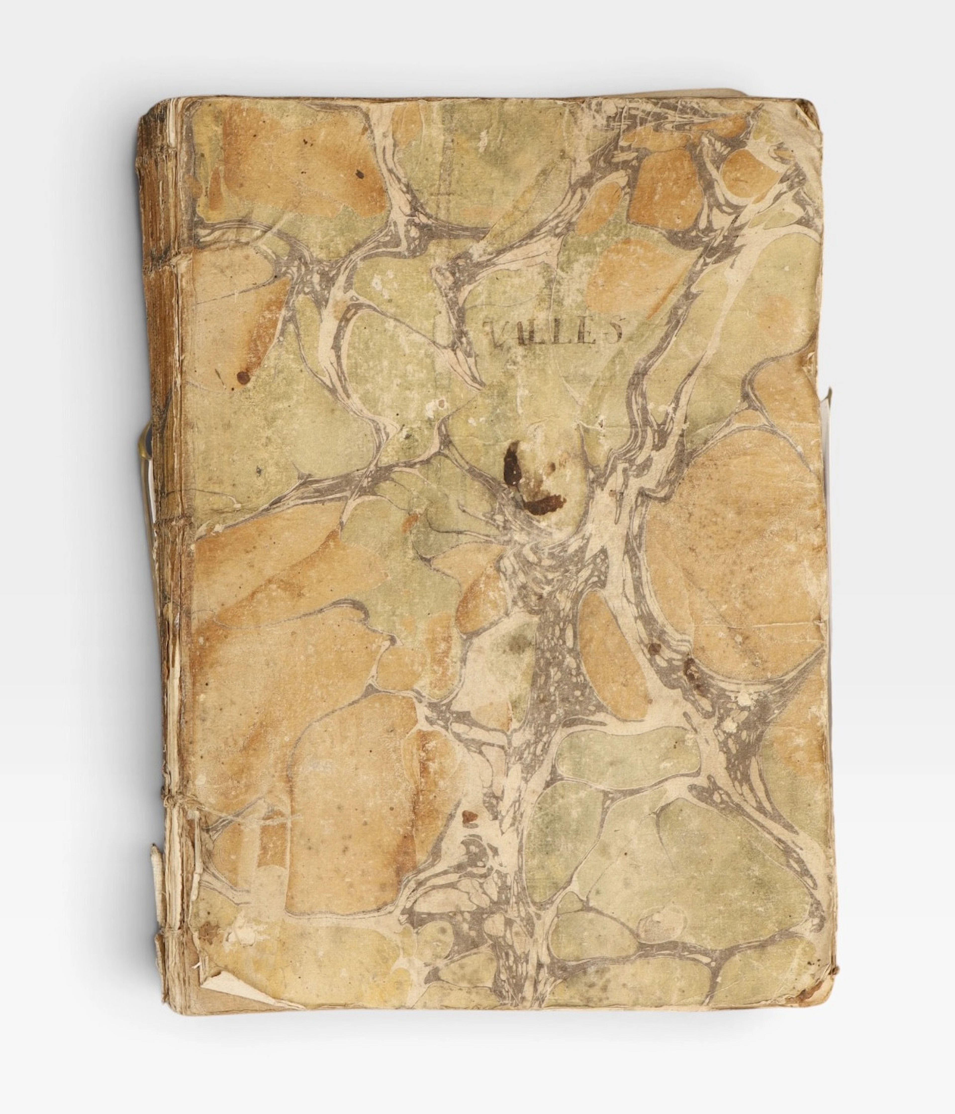
Guerra de la Independencia, Cataluña, 1808-1809.
10/22/2026
€130
Est.: €140
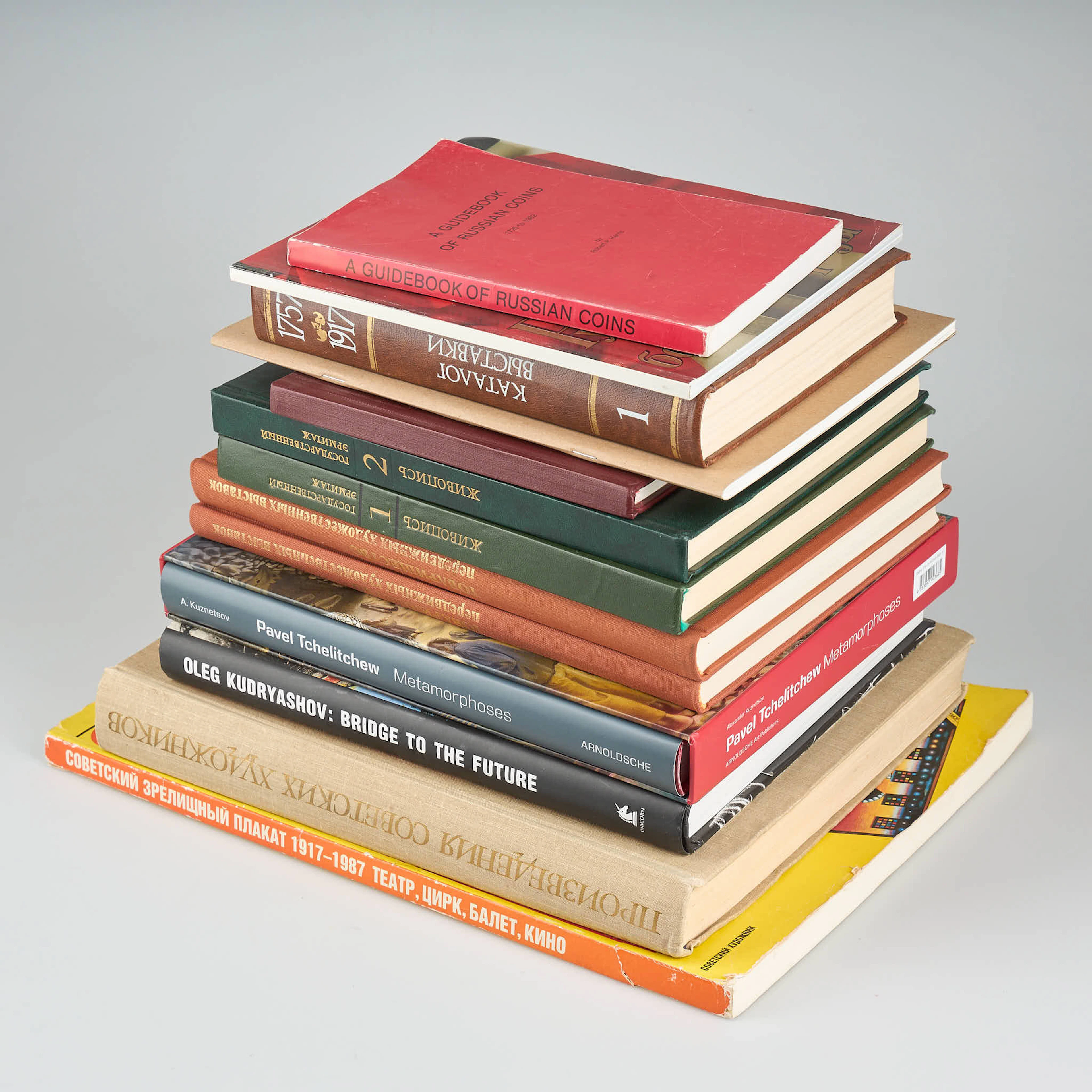
BÖCKER, 13 st, rysk/sovjetisk facklitteratur.
10/21/2026
€30
Est.: €150


OCT 27 | 4:00 PM
¡Lleva tu subasta a coleccionistas de todo el mundo!
Publica ahoraAl suscribirte, aceptas la política de privacidad. Cancela tu suscripción en cualquier momento.
Barnebys HQ
Brahegatan 10
BOX 5038
114 37 Stockholm
