
Todas las subastas / Libros, mapas, papel & manuscritos / Netherlands - Gelderland Province; W

Netherlands - Gelderland Province; W
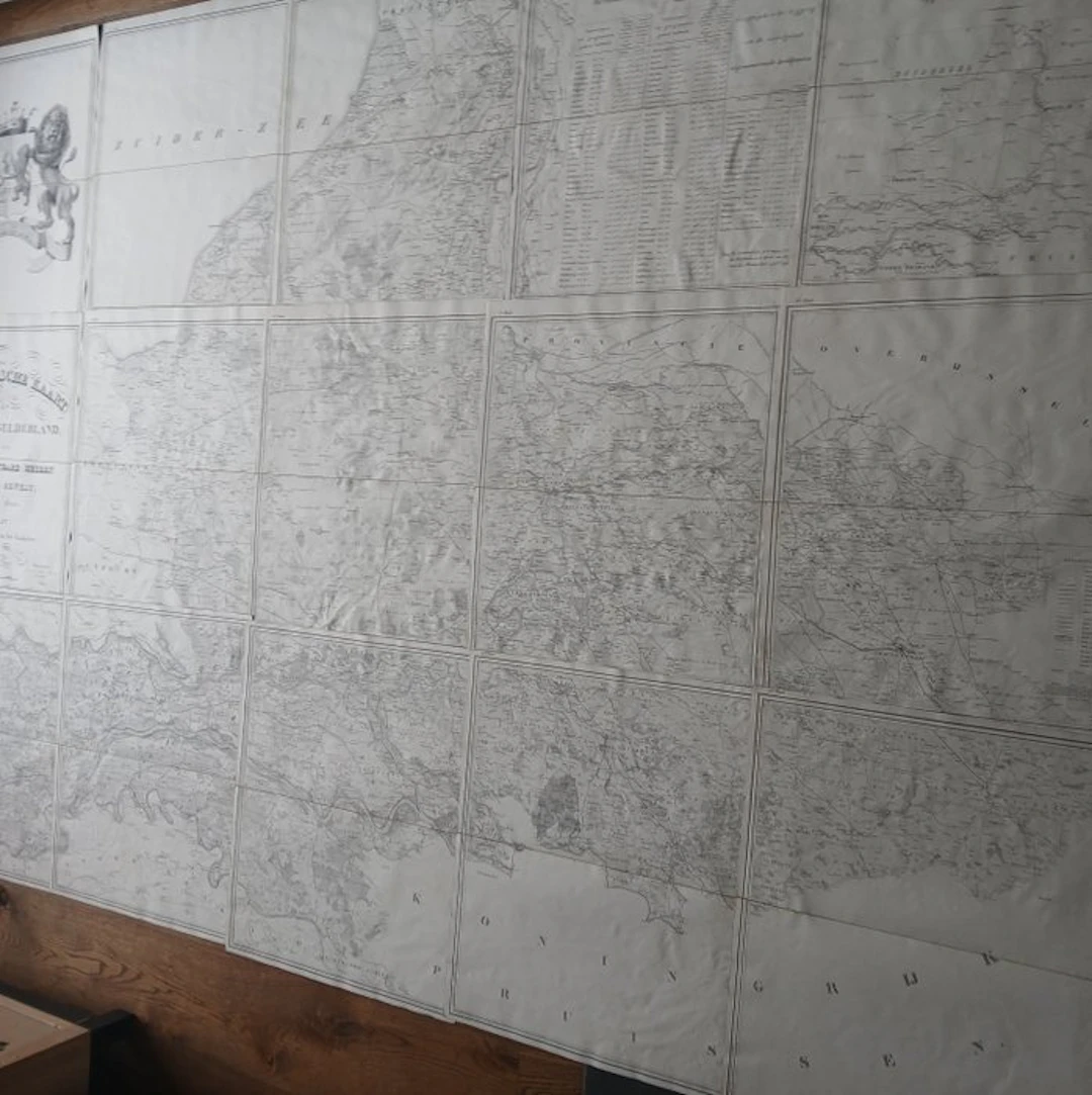
Rare item Topographic map of the province of Gelderland from 1843. Produced by engineer W. Kuyk Jzn. on behalf of the Provincial States The map comprises a detailed set of fifteen numbered lithographed and linen-mounted sheets. The work shows, with the infrastructure, water management and topography of the province as it was at the time. The cartographer is W. Kuyk Jzn. (Willem Kuyk Janzoon) The engravers of the map are A. Bayly and J.M. Huart. Huart is also the printer of the map The map was made on commission by the Provincial States (then designated as the Most Noble Honourable Lords States of that region). The map comes in a handsome marbled storage folder (original?) Dimensions of the storage folder are 58 x 36 cm Loose map folded to 57 x 34 cm Total map approximately 280 x 200 cm Map in very nice condition. There is a small stain/crease/bubble/crease on a few sheets The Lions Map has the largest fold (see photo) Visible on the map are among others: Bredevoort Doetinchem Arnhem Nijmegen Gorinchem Amersfoort Zutphen Deventer Harderwijk
Estimación:€1,000
Ir a la subastaVer todos los artículos deCatawikioLibros, mapas, papel & manuscritos
Estimación:
€1,000
Artículos similares





Resultados de subastas para artículos similares
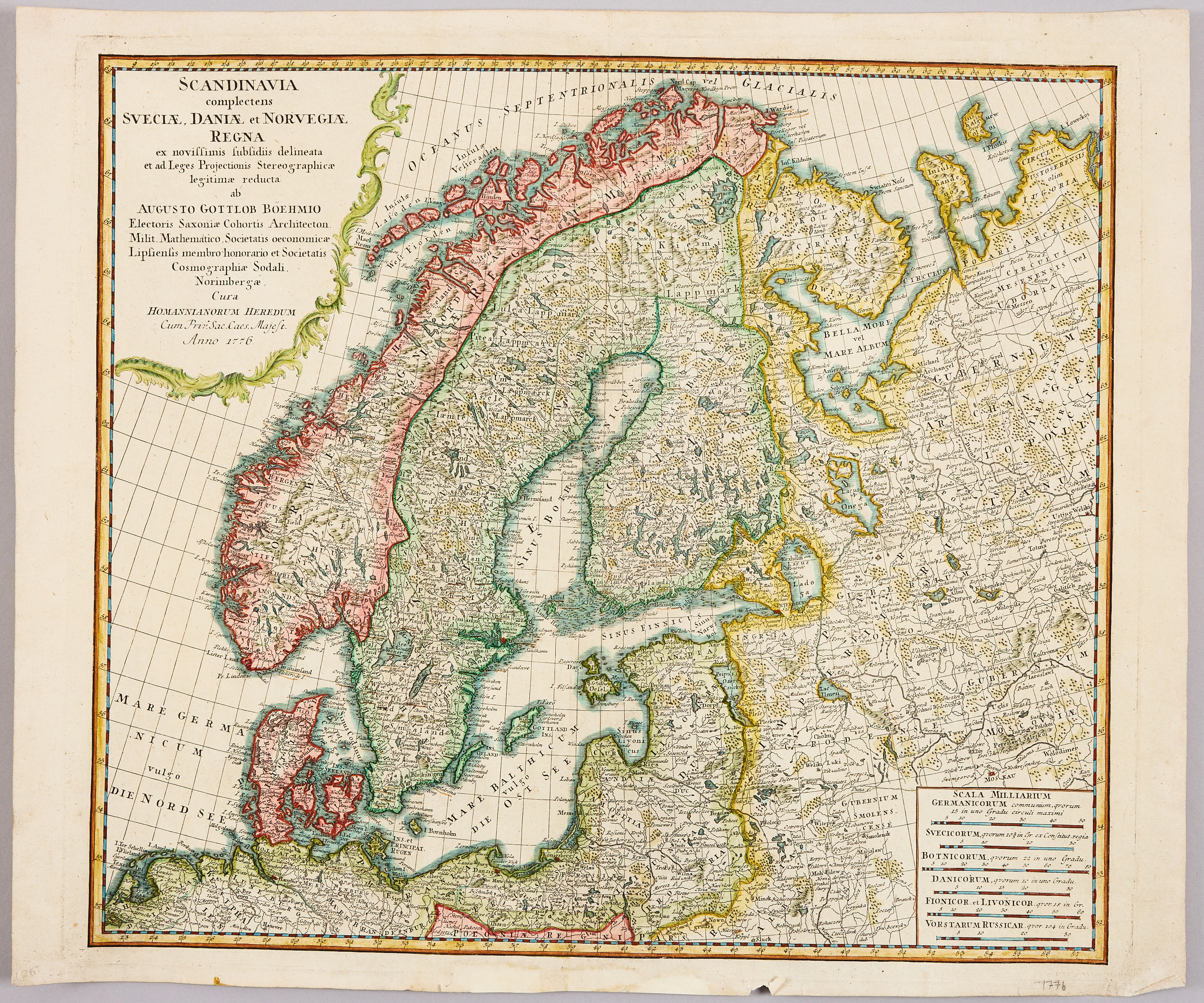
HOMANNS ARVINGAR, KARTA ÖVER SKANDINAVIEN, ca 1770.
10/09/2026
€98.27
Est.: €107.33

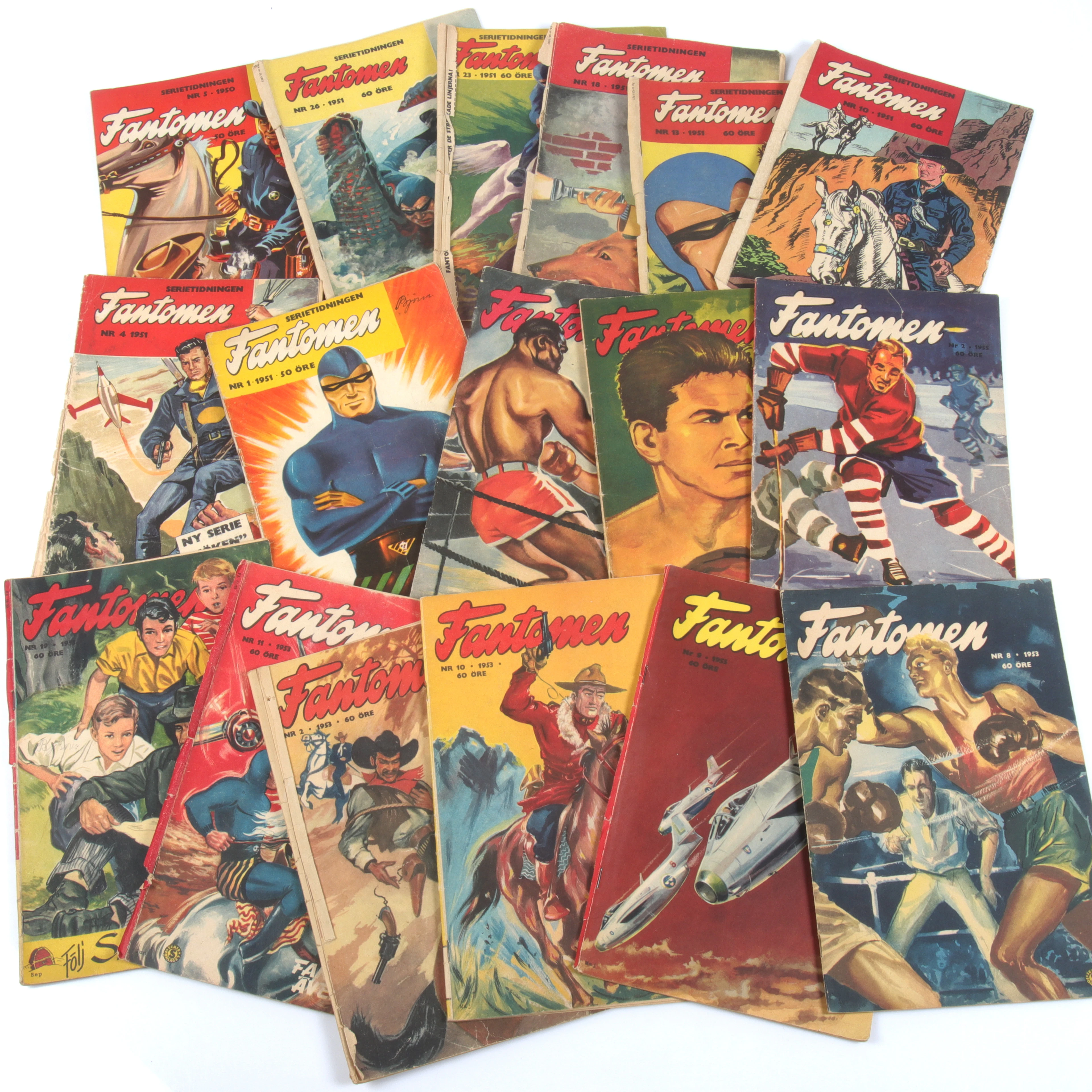
SERIETIDNINGAR, 57 st Fantomen, år 1950-56.
10/09/2026
€124.96
Est.: €71.55
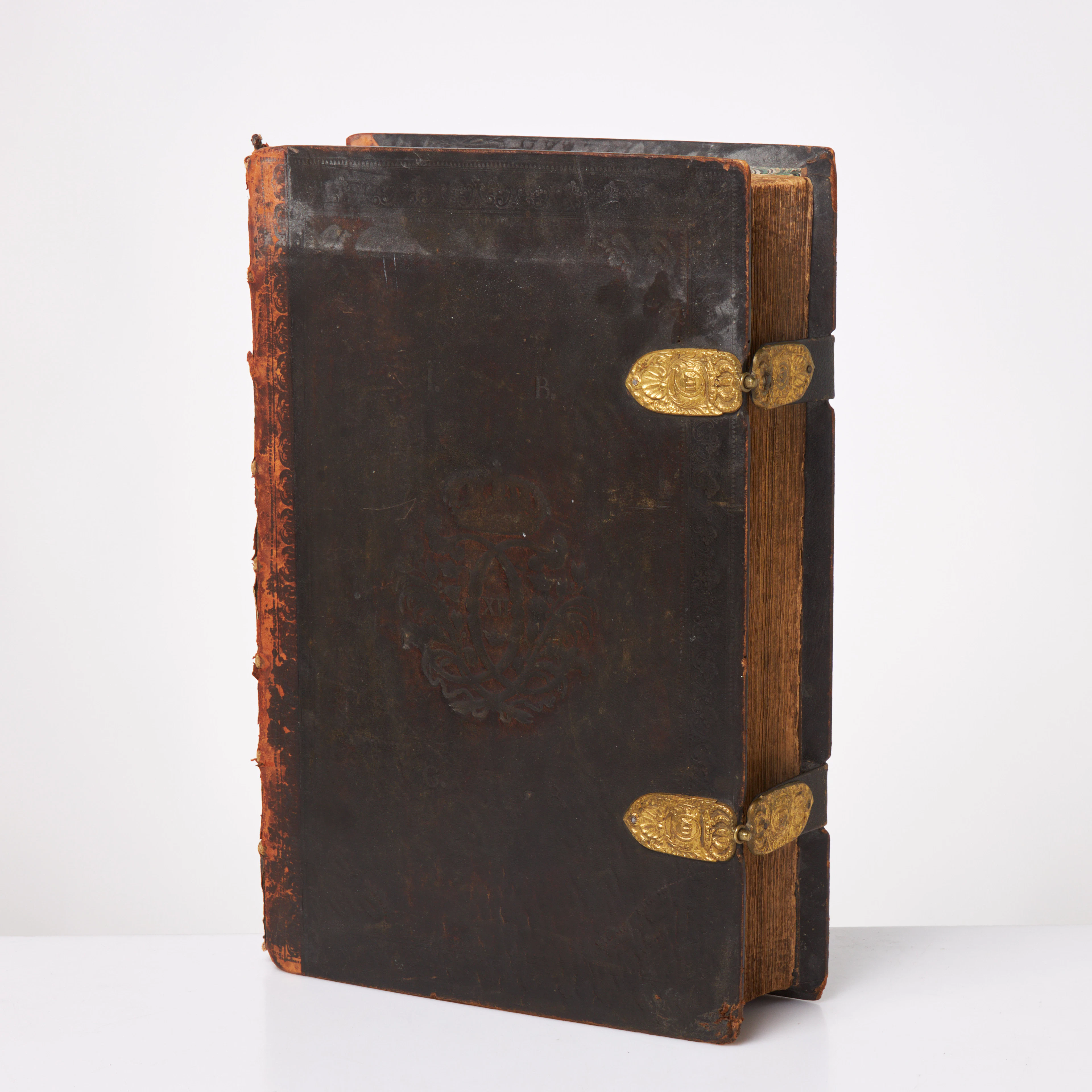
KARL XII:S BIBEL. 1703, samtida band.
10/09/2026
€580.17
Est.: €536.69
¡Lleva tu subasta a coleccionistas de todo el mundo!
Publica ahora