Maps of England
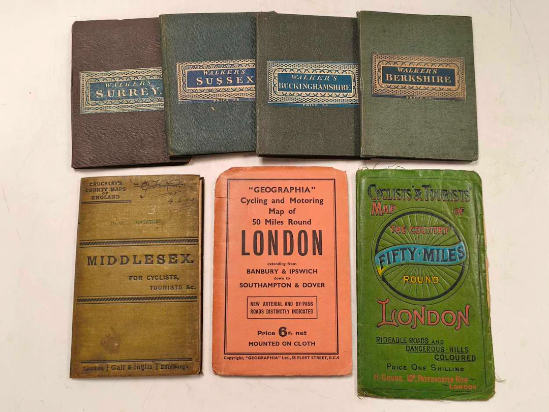
Cary's Reduction of His Six Sheet Map of the British Isles, Cary's Reduction of His Six Sheet Map of the British Isles... Drawn from the Most Recent Surveys, London: J. Cary, 1828, hand-coloured, 42 cloth-backed panels, bound in cloth with matching slip case, 97.5 x 126cm; Walker's County Maps: Sussex, Surrey, Berkshire, Buckinghamshire, London: Longman and Co., and J. & C. Walker, 1835-1836, 15 cloth-backed panels, hand-coloured, original cloth with paper label, 41 x 34cm; Cruchley's County Maps of England: Middlesex. For Cyclists, Tourists &c., London and Edinburgh: Gail & Inglis, folding cloth-backed, hand-coloured, inscribed and stamped cover, cloth 57.5 x 51cm; Cyclists' & Tourists' Map of the Country Fifty Miles Round London, revised edition, London: H. Grube, original green cloth, 61 x 75.5cm, plus 7 other tourist guides (14), Walker's County Maps, Cruchley's County Maps of England, Cyclists' & Tourists' Map of the Country Fifty Miles Round London, Please register to request a condition report
Estimación:€116.32
Ir a la subastaVer todos los artículos deCheffinsoMedallas, armas & armaduras