
Todas las subastas / Arte, Pintura & obra gráfica / Map of Virginia & Chesapeake Bay, Circa 1635

Map of Virginia & Chesapeake Bay, Circa 1635
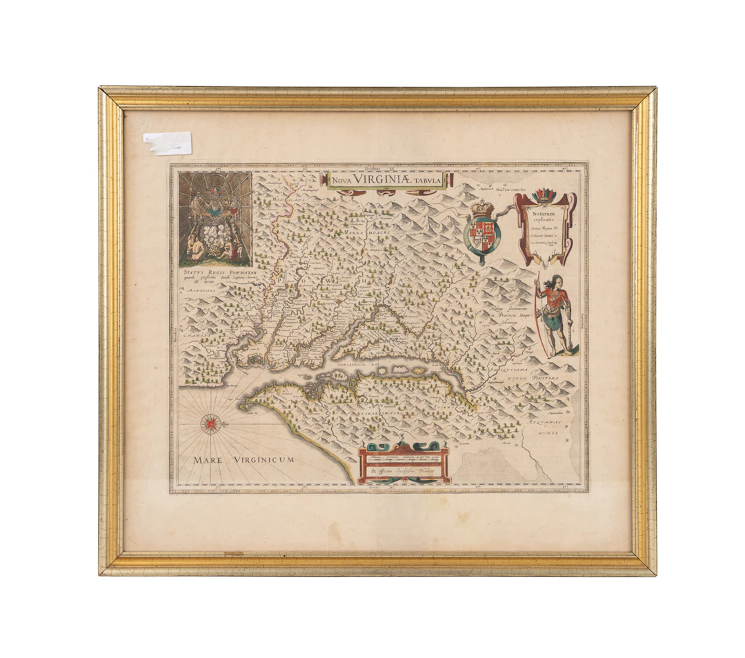
Map of Virginia & Chesapeake Bay, Circa 1635 "Nova Virginia Tabula" from "Theatrum Orbis Terrarum, Sive Novus Atlas", published by Willem Blaeu (Dutch, 1571-1638), circa 1635, hand-colored engraving on laid paper, from the plate engraved and first published by Jodocus Hondius Jr. (Dutch, 1594-1629) in 1618 and based on the famous map of Virginia made by John Smith (English, circa 1579-1631) in 1612, Derivative 1, State 2. Double sided frame with the Latin text visible on the verso. Approximate dimensions: Sight: 19 1/2 x 22 3/4 in. (49.5 x 57.8 cm.) Frame: 21 5/8 x 24 7/8 x 7/8 in. (54.9 x 63.2 x 2.2 cm.)
Estimación:€710.52
Ir a la subastaVer todos los artículos deAhlers & OgletreeoArte, Pintura & obra gráfica
Estimación:
€710.52
Artículos similares

Resultados de subastas para artículos similares
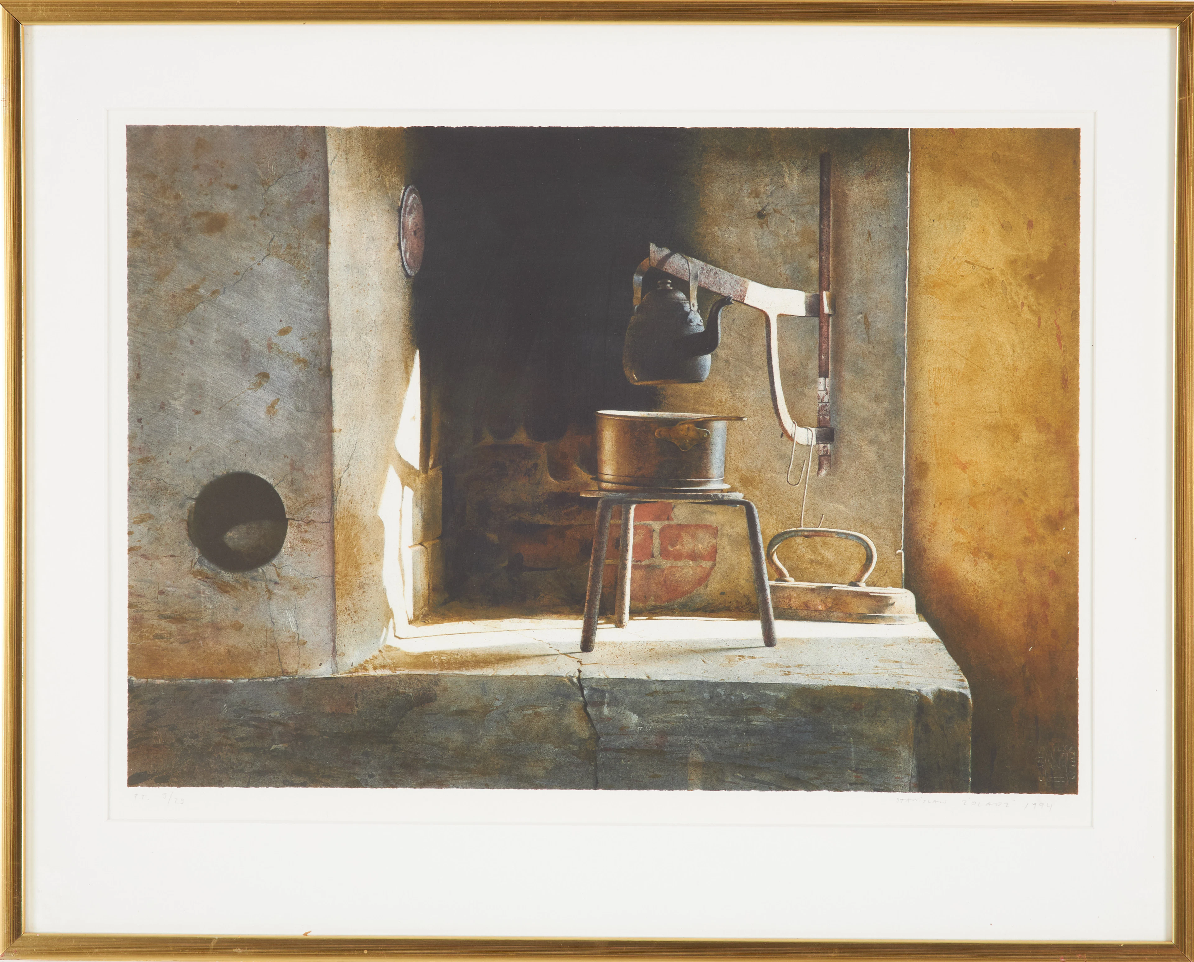
STANISLAW ZOLADZ. Interiör med bl.a. kaffekanna, signerad, daterad
10/06/2026
€44.64
Est.: €133.21



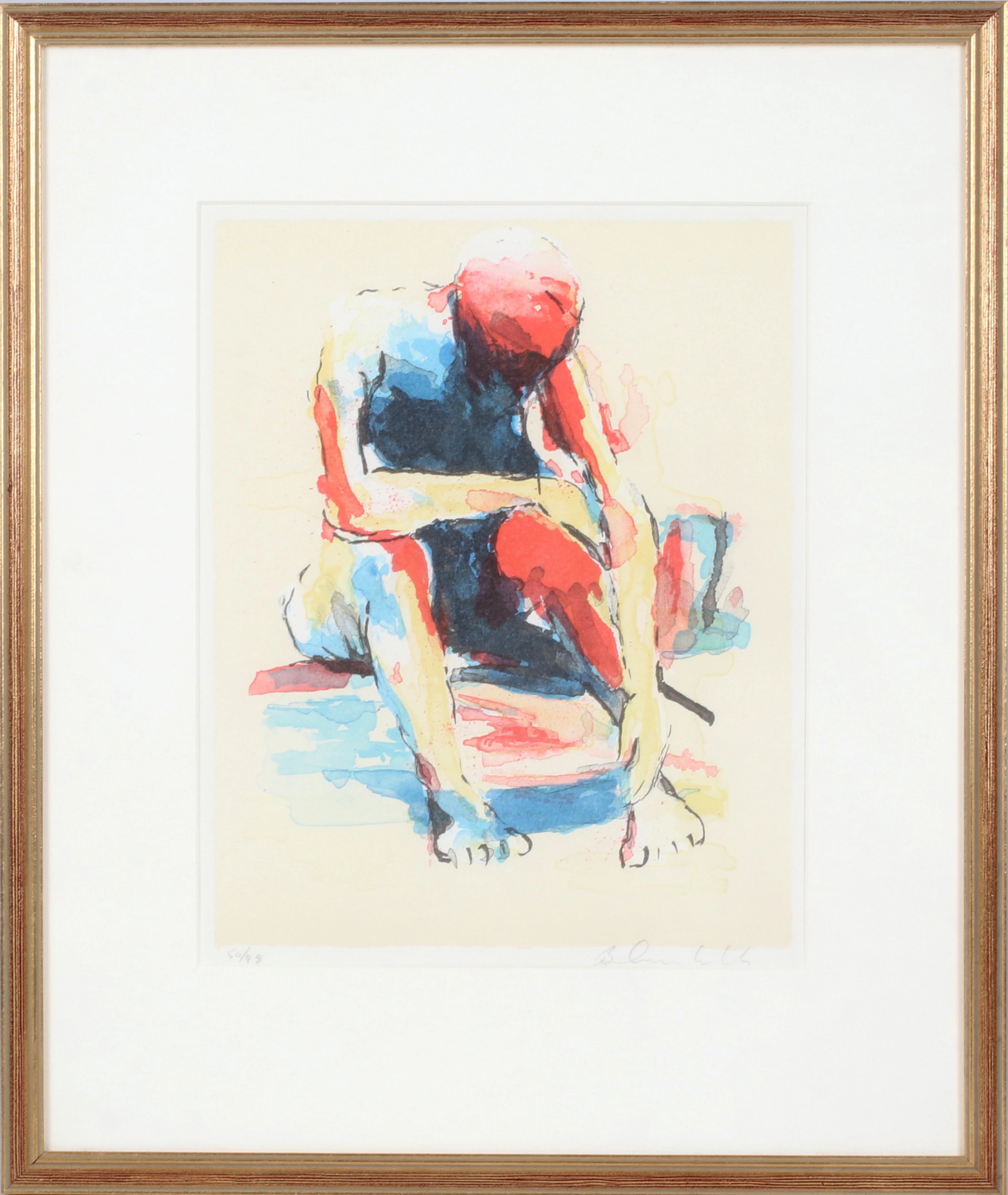
BJÖRN AUREBEKK. Sittande kvinna, litografi, signerad och numrerad 50/99.
10/06/2026
€26.78
Est.: €44.4
¡Lleva tu subasta a coleccionistas de todo el mundo!
Publica ahora