
Todas las subastas / Libros, mapas, papel & manuscritos / Francia (Ovest) - Anjou (Anjou); Abraham Ortelius (1527 –...

Francia (Ovest) - Anjou (Anjou); Abraham Ortelius (1527 –...
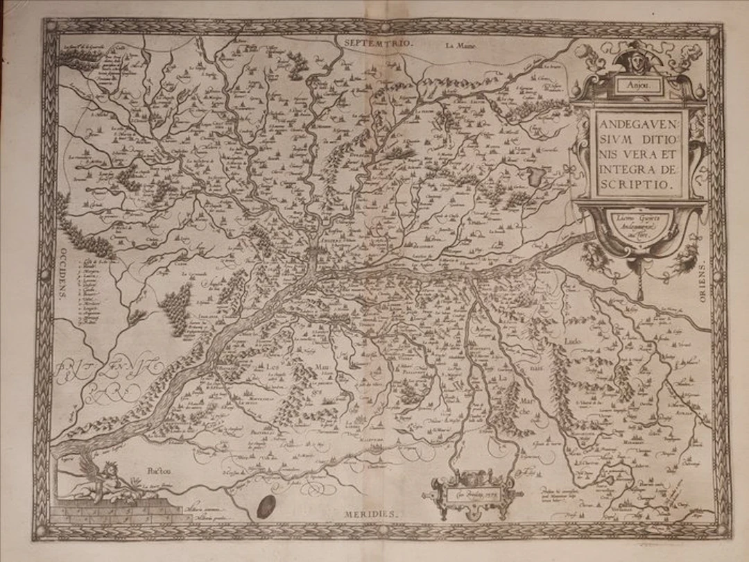
Splendid folio geographic map of the ancient province of Angiò (Anjou) in western France, drawn from the monumental Theatrum Orbis Terrarum by Abraham Ortelius (1527–1598), a celebrated milestone in world cartography. The work is titled in the cartouche “ANDEGAVENSIVM DDITIONIS VERA ET INTEGRA DESCRIPTIO” and is based on the detailed surveys of the local cartographer Lézin Guyet (Licinio Guyeto Andegavense auctore). The map offers a dense restitution of the territory of the era along the Loire basin and its tributaries, delineating with precision fortified towns, castles, forests, and provincial borders, with a focus on the city of Angers. The sheet is distinguished by its extraordinary decorative apparatus in full Flemish Mannerist taste: an imposing architectural cartouche in a niche crowned with the Angevin coat of arms, a refined allegorical personification of the river at the lower left, and graded margins with Latin indications of the cardinal points. The specimen boasts an excellent and sharp black-and-white impression on sturdy watermark paper, with ink clearly marked and evident trace of the copper plate’s bite. On the back it presents the contemporary descriptive text. An excellent collectible piece for lovers of 16th-century cartography. Dimensions 43 x 54 cm Will be shipped by courier
Estimación:€3
Ir a la subastaVer todos los artículos deCatawikioLibros, mapas, papel & manuscritos
Estimación:
€3
Artículos similares





Resultados de subastas para artículos similares
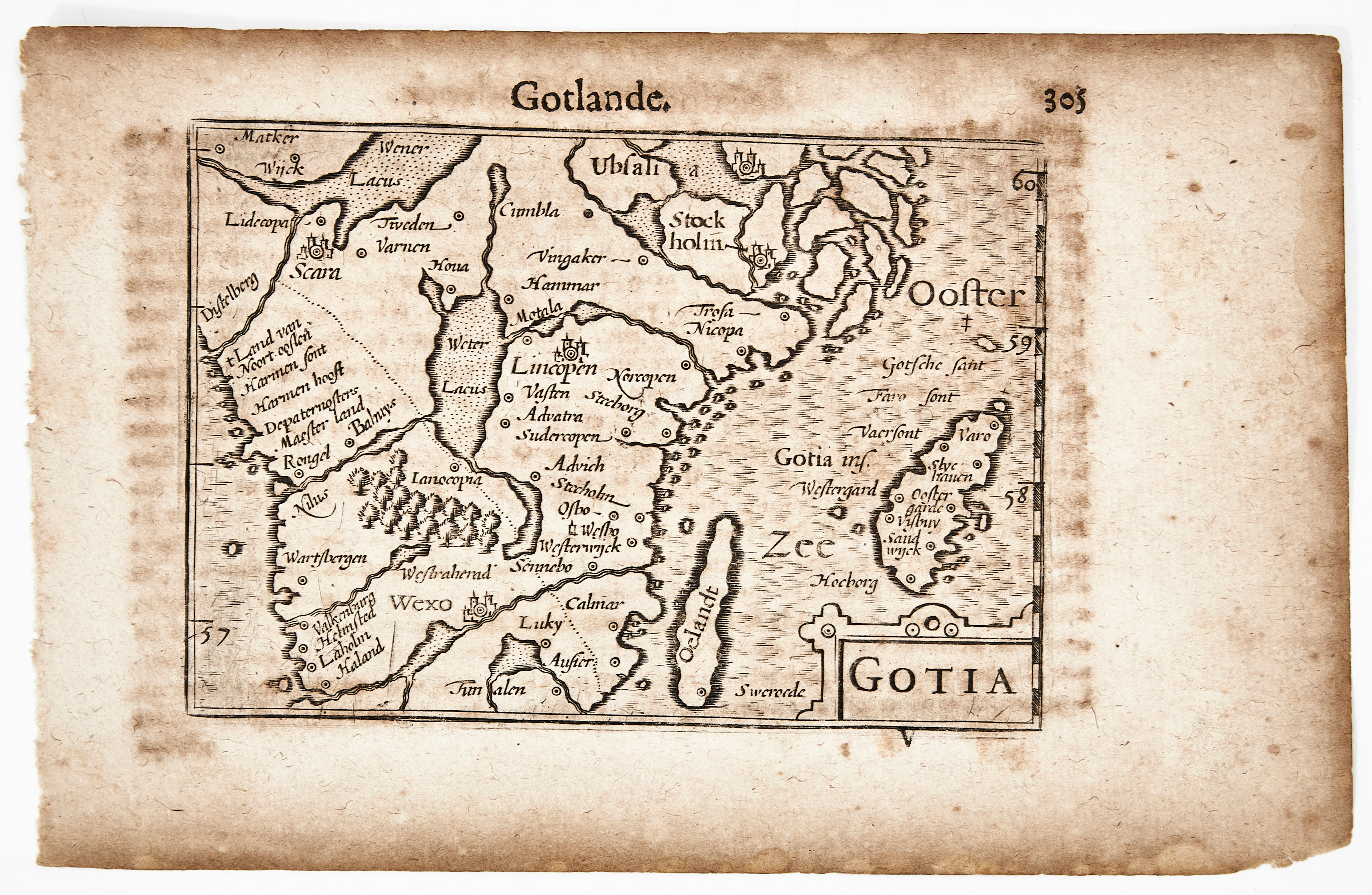
BERTIUS KARTA ÖVER GÖTALAND, Gotia, ca 1670.
10/07/2026
€90.34
Est.: €106.64
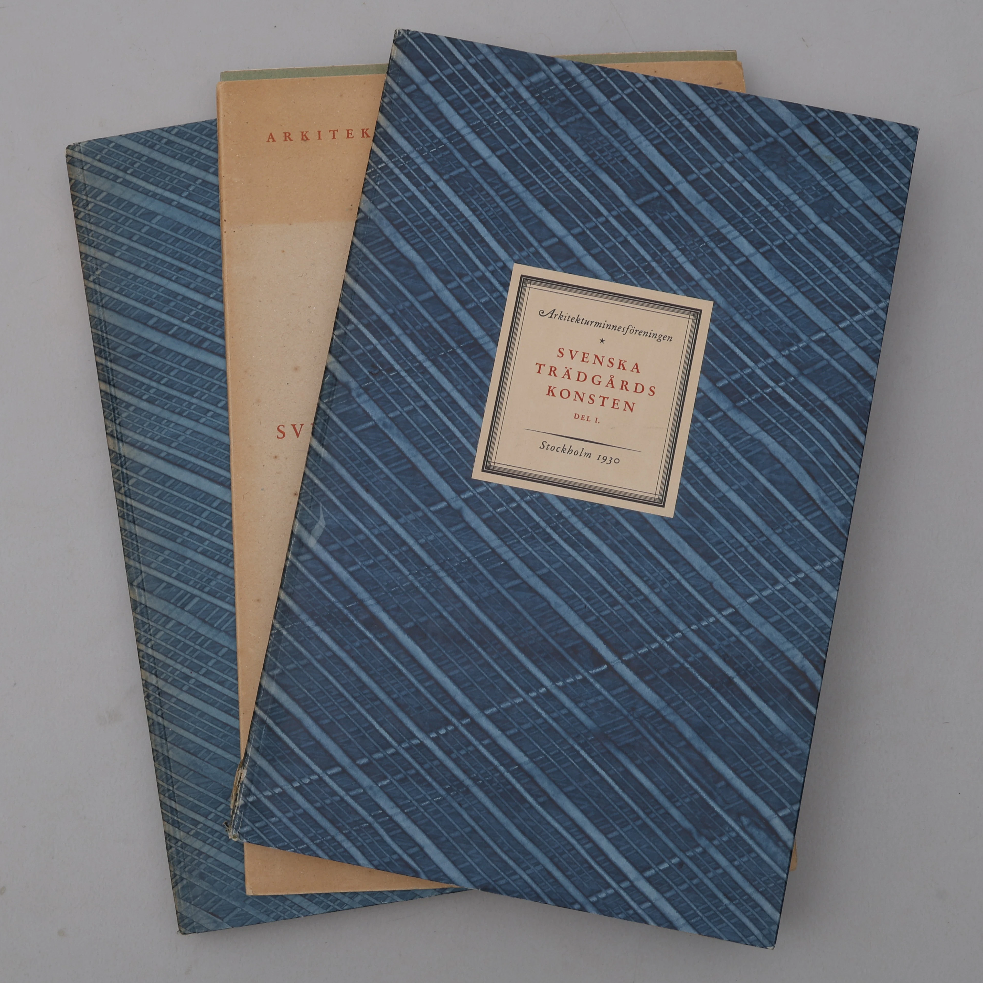
BIBLIOFILI/TRÄDGÅRD. SVENSKA TRÄDGÅRDSKONSTEN SÅDAN DEN TILL VÅRA
10/07/2026
€98.39
Est.: €266.61
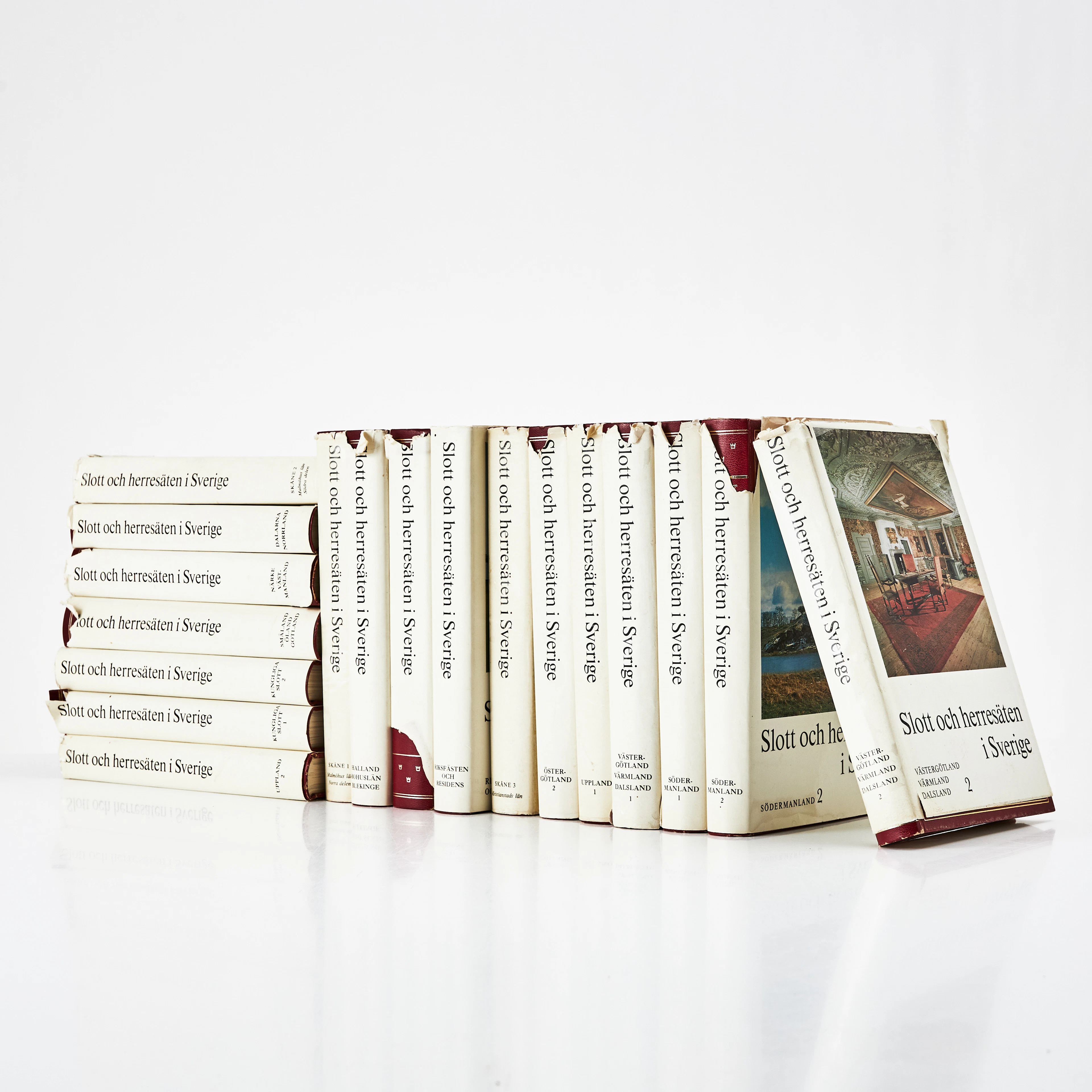
SLOTT OCH HERRESÄTEN I SVERIGE, 18 VOLYMER, Malmö, 1966-71.
10/07/2026
€71.55
Est.: €133.3
¡Lleva tu subasta a coleccionistas de todo el mundo!
Publica ahora