






Todas las subastas / Libros, mapas, papel & manuscritos / France - Pays Messin: territory of the city of Metz


Ancient copper-engraved map of the Pays messin (Metz and its territory) by Hondius, after Abraham Fabert, published in 1633 in the Mercator-Hondius atlas. It shows the city of Metz laid out in plan within its enclosure, at the confluence of the Moselle and the Seille. The map is oriented with west at the top, the cardinal points inscribed in Latin in the border. The title cartouche, at the bottom right, takes the form of an architectural frame adorned with clusters of foliage and fruits. At the bottom left, a frame bordered by vine tendrils contains two scales, in Metz leagues and in French leagues. The upper left corner bears the arms of France and Navarre, crowned and surrounded by the collars of the king’s orders. The upper right corner bears a second shield, left uncoloured, probably that of the Duke of Épernon, governor of Metz. Relief is depicted by small mounds, forests by trees, and the Moselle’s coteaux by vineyard signs. The arches of the Roman aqueduct are drawn near Jouy, upstream of Metz. The map names the subdivisions of the territory: the Val de Metz, the Isle, the Saulnoy, the Haut Chemin, the Ban Saint-Pierre and the Terre de Gorze. It also lists Pont-à-Mousson, Gorze, Boulay and Thionville ("Theonville al. Didenhoven"), as well as the courses of the Nied and the Orne. The engraving is by Abraham Fabert (c. 1560-1638), printer and master-elected magistrate of Metz, whose name appears in the cartouche. On the verso, descriptive text in French entitled “Le Pays Messin” (pages 317 and 320), with a wood-engraved initial.. - Dimensions: on sheet: 56 x 47.5 cm; on the plate (map): 46.9 x 35.3 cm - Condition: Very good overall for a map of this period. Brown stains in the corners. See photos for details. Atlas Mercator-Hondius - The atlas called “Mercator-Hondius” takes up the work of Gerard Mercator, whose copperplates were bought back by Jodocus Hondius in 1604. This French edition of 1633 is signed by his son Henricus Hondius and his son-in-law Joannes Janssonius, who added many new maps. Henricus Hondius - Henricus Hondius (Amsterdam, 1597 – Amsterdam, 1651) was a Dutch engraver, cartographer and publisher, son of Jodocus Hondius, who had acquired the copperplates of Gerard Mercator’s atlas. He, with his brother Jodocus II, revived the family publishing house and published Mercator atlas editions under his name from the 1620s. Around 1630 he allied with his brother-in-law Johannes Janssonius, with whom he expanded the atlas with many new maps.
Estimación:€150
Ir a la subastaVer todos los artículos deCatawikioLibros, mapas, papel & manuscritos
Estimación:
€150
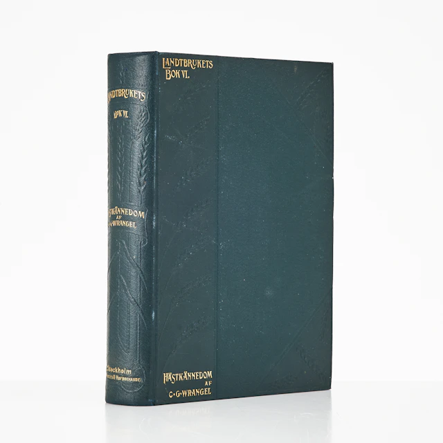
WRANGEL, HIPPOLOGIA. HANDBOK I HÄSTKÄNNEDOM 1906.
10/22/2026
€80.89
Est.: €161.98
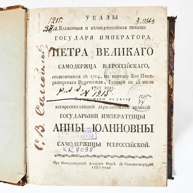
RYSK BOK RÖRANDE LAGAR OCH FÖRORDNINGAR, ST. PETERSBURG 1780.
10/22/2026
€409.58
Est.: €134.98


OCT 27 | 4:00 PM
¡Lleva tu subasta a coleccionistas de todo el mundo!
Publica ahoraAl suscribirte, aceptas la política de privacidad. Cancela tu suscripción en cualquier momento.
Barnebys HQ
Brahegatan 10
BOX 5038
114 37 Stockholm
