








Todas las subastas / Libros, mapas, papel & manuscritos / France - France; Nicolas Maire - "Carte Administrative

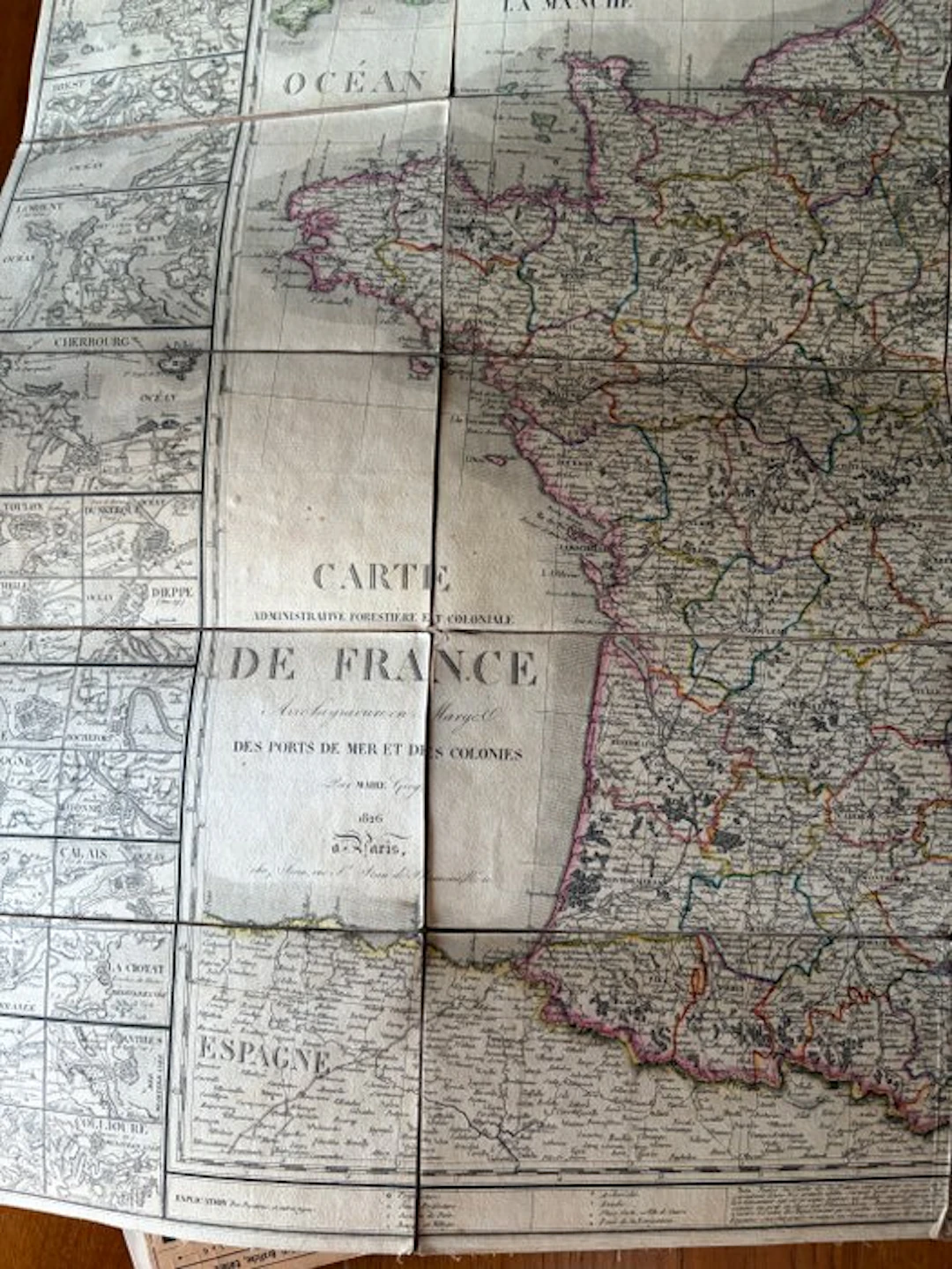
• Author: Nicolas Maire (indicated as Par MAIRE Géog.), a famous engineer-geographer active in Paris during the early decades of the 19th century. • Year of publication: 1826, printed during the period of the Bourbon Restoration (reign of Charles X). • Place of edition: Paris (à Paris). • Visual characteristics: The map is divided into geometric sections mounted on canvas ("entoilée"), a technique typical of the nineteenth century that allowed the large map to be easily folded to be kept in its cardboard cover (the one with the Milanese shopkeeper Louis Zucoli's stamp). • Cartographic details: It shows the French administrative boundaries of the time, with side panels dedicated to the profiles and views of the main sea ports and colonies. In the bottom left is clearly visible a portion of northern Spain adjacent.
Estimación:€170
Ir a la subastaVer todos los artículos deCatawikioLibros, mapas, papel & manuscritos
Estimación:
€170
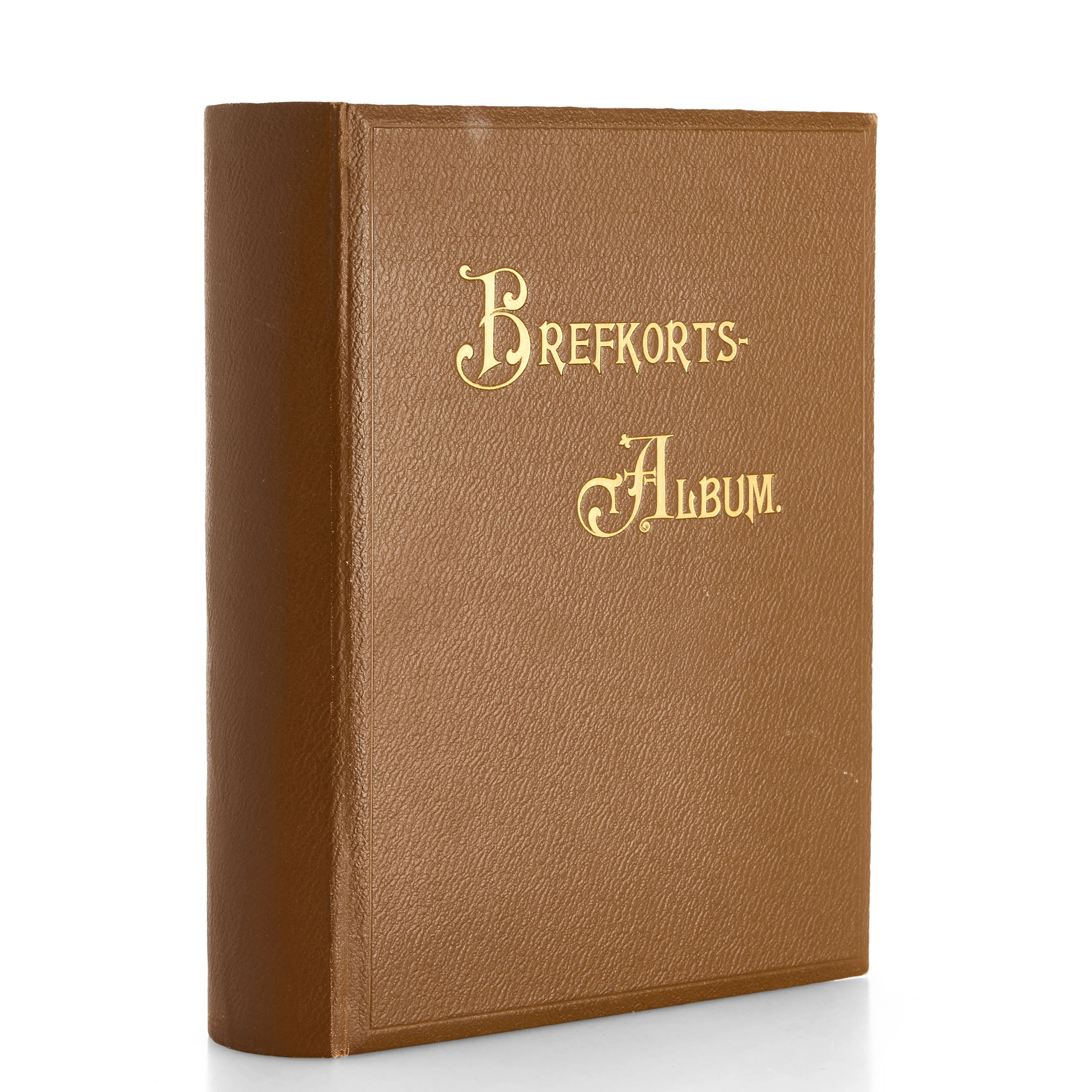
VYKORTSSAMLING - SVENSKA KUNGLIGHETER. GUSTAF V, OSCAR II M.FL. I
10/15/2026
€53.86
Est.: €89.46

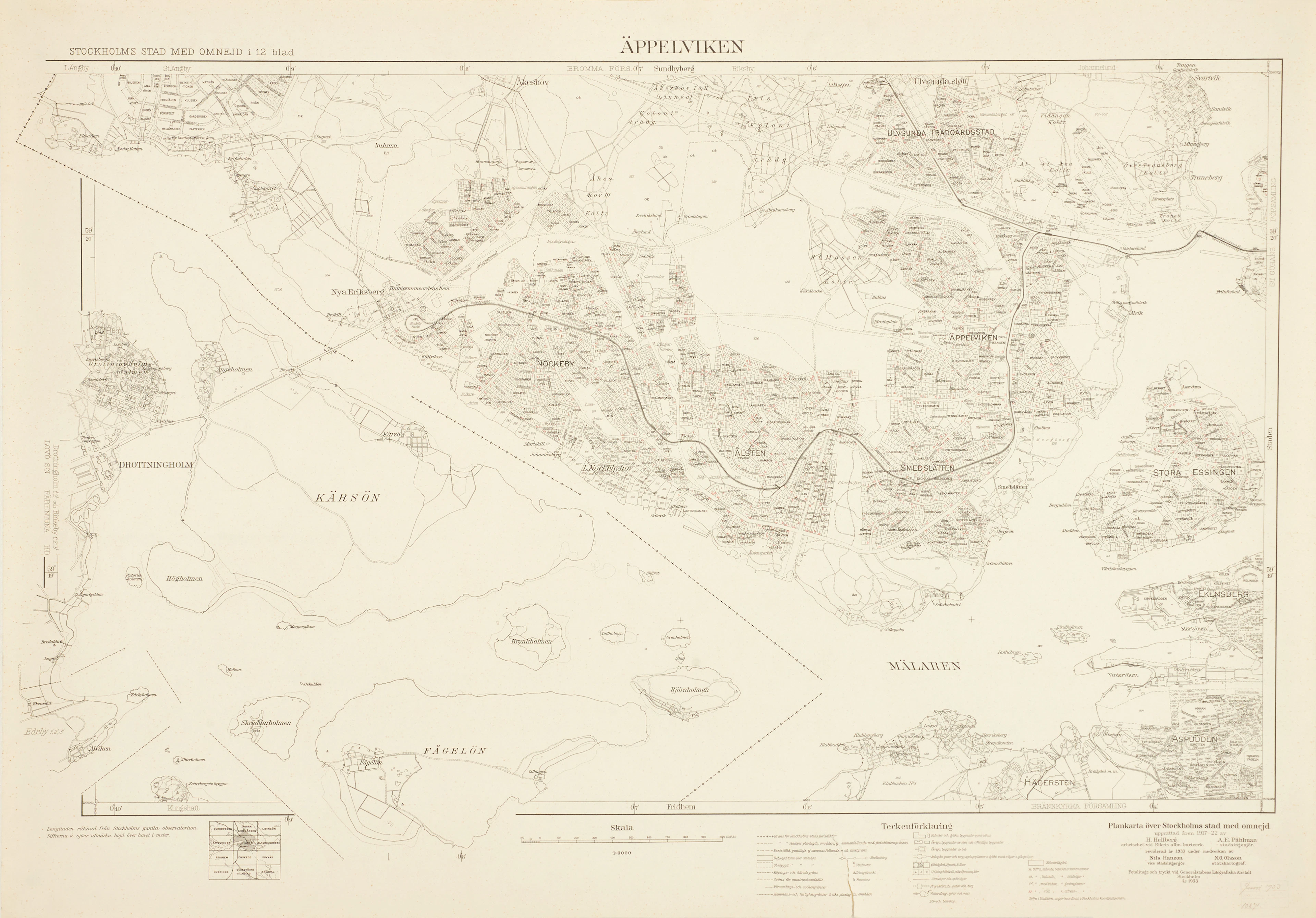
ÄPPELVIKEN, Plankarta över Stockholms Stad med omnejd, 1933, fotolitogr.
10/15/2026
€98.75
Est.: €89.46


OCT 27 | 4:00 PM
¡Lleva tu subasta a coleccionistas de todo el mundo!
Publica ahoraAl suscribirte, aceptas la política de privacidad. Cancela tu suscripción en cualquier momento.
Barnebys HQ
Brahegatan 10
BOX 5038
114 37 Stockholm
