








Todas las subastas / Libros, mapas, papel & manuscritos / Europe - Scandinavia

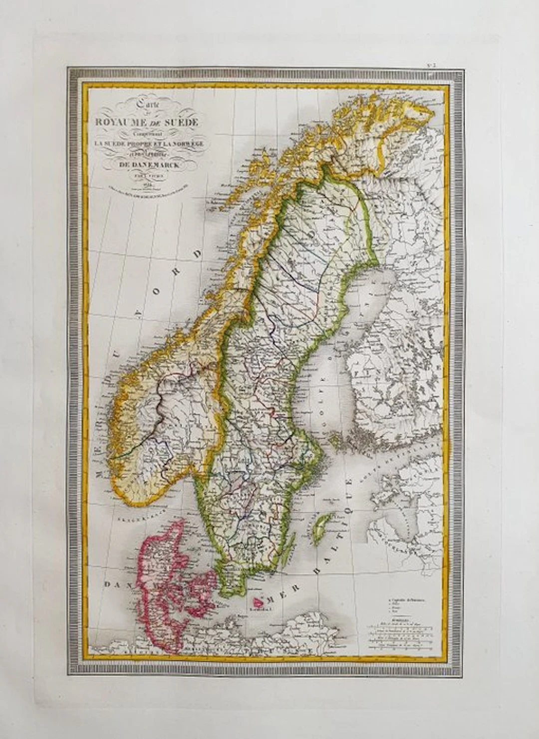
This Large-Folio Geographical Map is an original engraving from 1826. This is the rare edition by Louis Vivien de Saint-Martin, published in 1826 in his Atlas, which bears the title: "ATLAS UNIVERSEL Pour Servir à l'Étude de la Geographie et de l'Histoire Anciennes et Modernes à Paris, 1826". Map printed in Paris, with excellent coloring, wide margins, and geographically well detailed in every point. Condition: the condition is very, very good, very clean as shown in the photo. The overall dimensions of the map are: 59 cm x 43 cm.
Estimación:€1
Ir a la subastaVer todos los artículos deCatawikioLibros, mapas, papel & manuscritos
Estimación:
€1
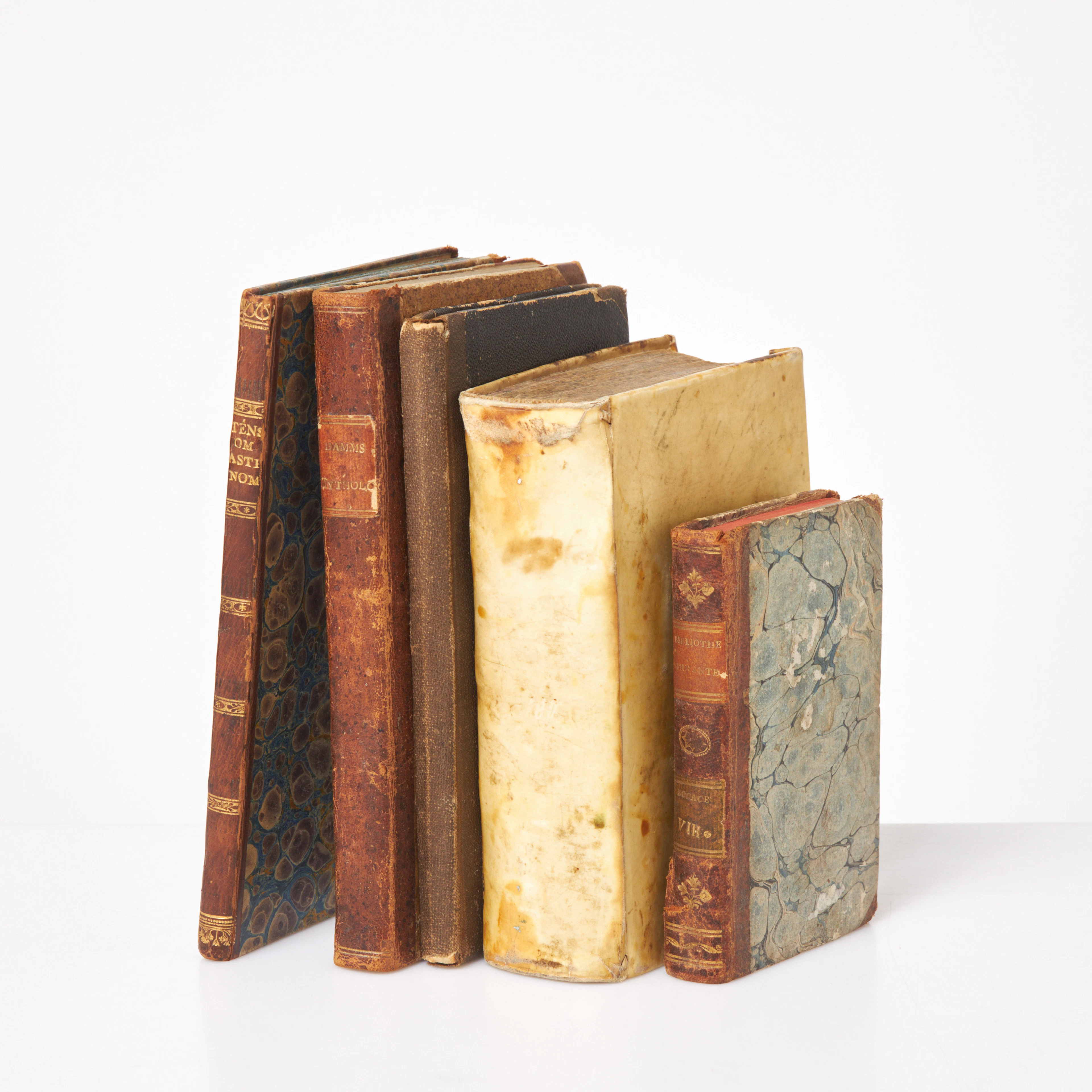
ÄLDRE BÖCKER, 5 st, Theologi, 1611, pergamentband, Grekerna och romarnas
10/15/2026
€58.35
Est.: €89.46
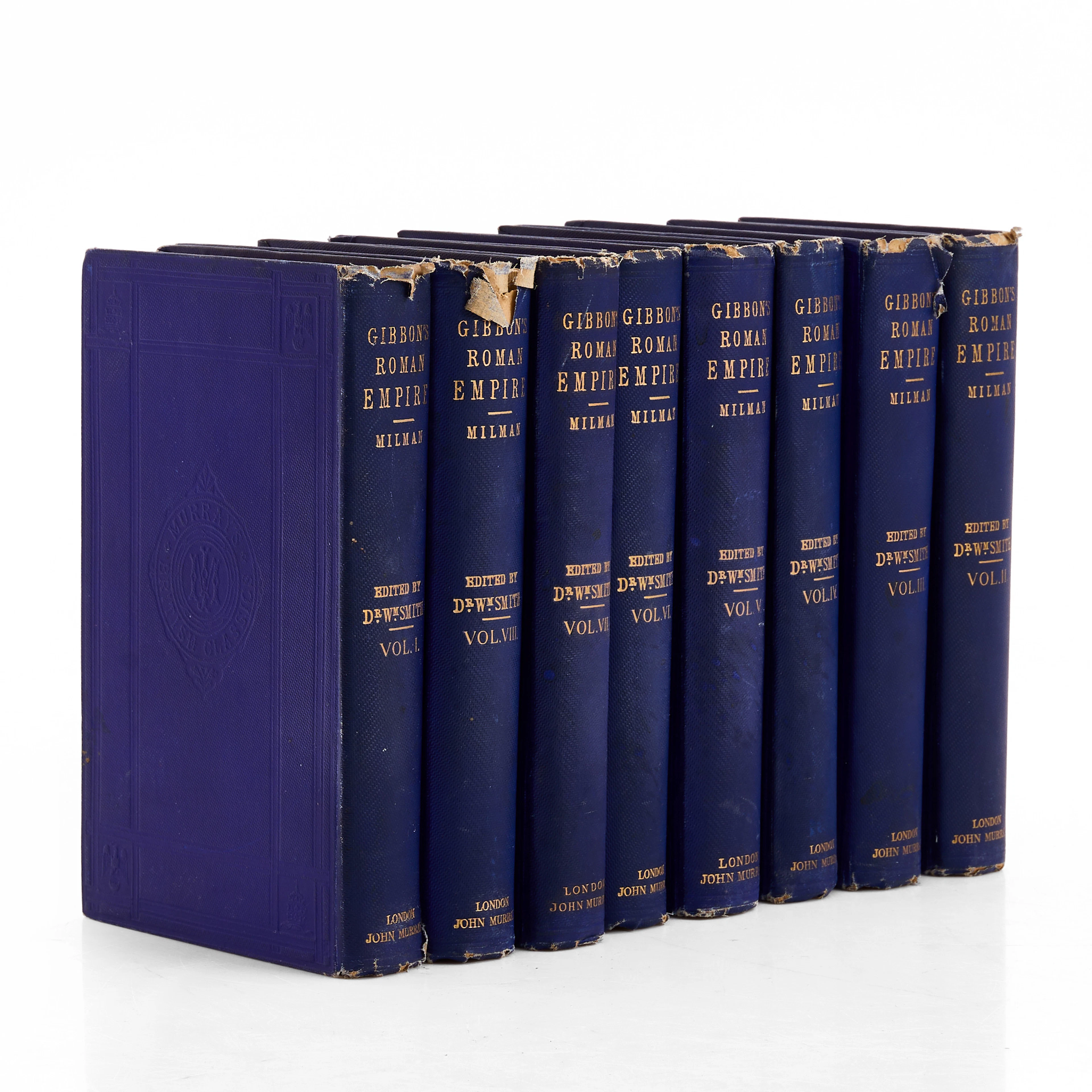
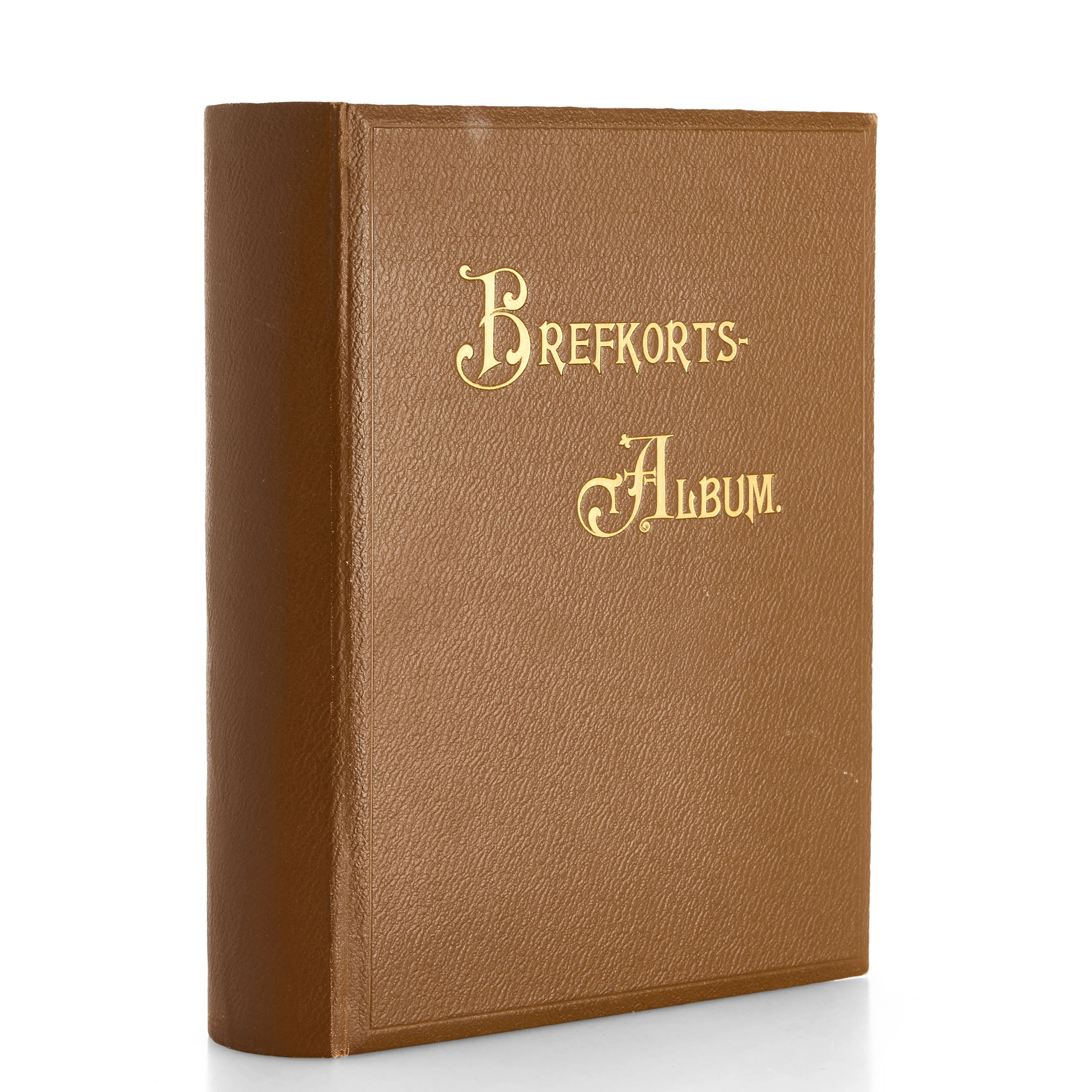
VYKORTSSAMLING - SVENSKA KUNGLIGHETER. GUSTAF V, OSCAR II M.FL. I
10/15/2026
€53.86
Est.: €89.46



OCT 27 | 4:00 PM
¡Lleva tu subasta a coleccionistas de todo el mundo!
Publica ahoraAl suscribirte, aceptas la política de privacidad. Cancela tu suscripción en cualquier momento.
Barnebys HQ
Brahegatan 10
BOX 5038
114 37 Stockholm
