





Todas las subastas / Libros, mapas, papel & manuscritos / Europe - Mediterranean Sea

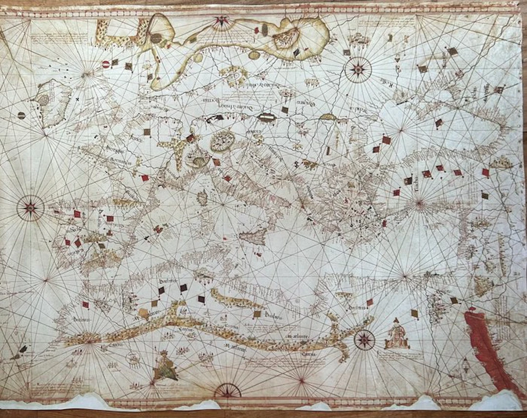
• At the center stands out the entire area of the Mediterranean Sea and the Black Sea. On the left (which corresponds to geographic north if the map is rotated) the profile of the British Isles and the Scandinavian peninsula is clearly visible. On the long right side the coasts of West Africa develop vertically. • Heraldic Decorations and Miniatures: The map is richly decorated with multicolored heraldic flags (red, black and gold) positioned corresponding to the main cities, realms and sultanates to indicate political dominion. The interior of the continents, not useful for navigation, is enriched with detailed drawings of fortified towns in miniature and stylized mountain ranges. • The Rhumb Lines (Lossodromes): The surface is entirely crossed by the characteristic dense lattice of black and red navigation lines. These lines branch from scenographic wind roses, decorated with geometric motifs and the typical compass needle indicating the direction. • Chromatic Details: A conspicuous and evocative red line carves the upper right part of the map (the eastern side), to symbolize the Red Sea, a classic and highly sought-after chromatic detail in period cartography. The toponyms of coastal locations are densely written, handwritten in black and red ink (reserved for the most important ports). Rich interweaving of rhumb lines (wind rhumbs), finely decorated wind roses, miniature fortified towns, and heraldic banners of the various kingdoms of the era. Coasts enriched with dense toponyms written in black and red. The original from 1508 is a hand-illuminated manuscript (drawn with pen, colored inks, and gold leaf on parchment), while this facsimile is a high-definition photomechanical reproduction realized with modern printing techniques. The original from which this copy is derived is a precious parchment-illuminated manuscript officially titled "Seekarte des Andrea Benincasa" and it is registered under the shelf mark Borgiano VIII within the Vatican Apostolic Library.
Estimación:€300
Ir a la subastaVer todos los artículos deCatawikioLibros, mapas, papel & manuscritos
Estimación:
€300
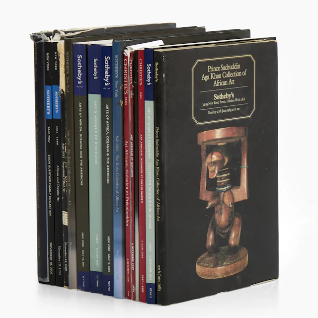
AUKTIONSKATALOGER, 15 st mellan 1983-2009, Sotheby's - Chtisties.
10/23/2026
€49.52
Est.: €89.94
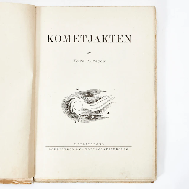
KOMETJAKTEN AV TOVE JANSSON, första upplagan, Helsingfors 1946.
10/23/2026
€107.85
Est.: €179.89
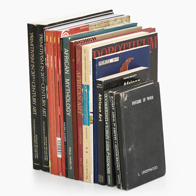
BÖCKER, TIDSKRIFTER, diverse om primitivism och afrikansk konst, bl.a. Tribal.
10/23/2026
€49.43
Est.: €89.94


OCT 27 | 4:00 PM
¡Lleva tu subasta a coleccionistas de todo el mundo!
Publica ahoraAl suscribirte, aceptas la política de privacidad. Cancela tu suscripción en cualquier momento.
Barnebys HQ
Brahegatan 10
BOX 5038
114 37 Stockholm
