
Todas las subastas / Libros, mapas, papel & manuscritos / Early Maps 18th century "partie des isles antilles" French map, partly
Early Maps 18th century "partie des isles antilles" French map, partly
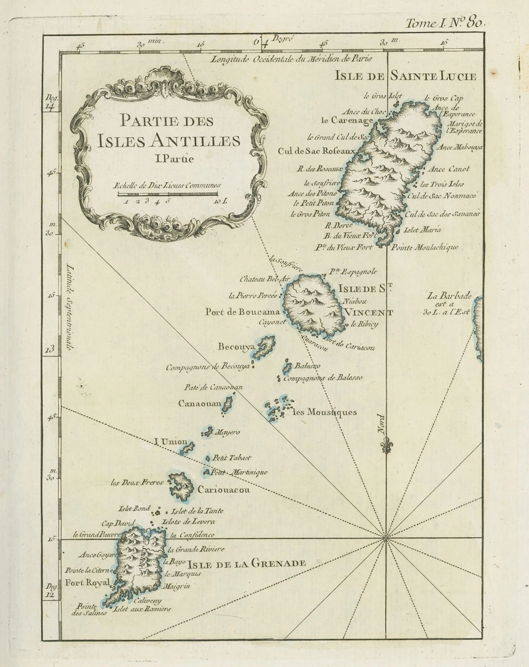
Early Maps 18th century "partie des isles antilles" French map, partly coloured, showing Grenada, St. Lucia and St. Vincent and Grenadines; 1805 (24 June) coloured map of the West Indies punlished by the Rev. E. Patterson of Richmond, Surrey; and 1806 (30 June) map of St. Lucia published by J. Gold of London; fine Subject to 20% VAT on Buyer’s Premium. For more information please view Terms and Conditions for Buyers.
Estimación:€174.83
Ir a la subastaVer todos los artículos deSpink AuctionsoLibros, mapas, papel & manuscritos
Estimación:
€174.83
Artículos similares





Resultados de subastas para artículos similares
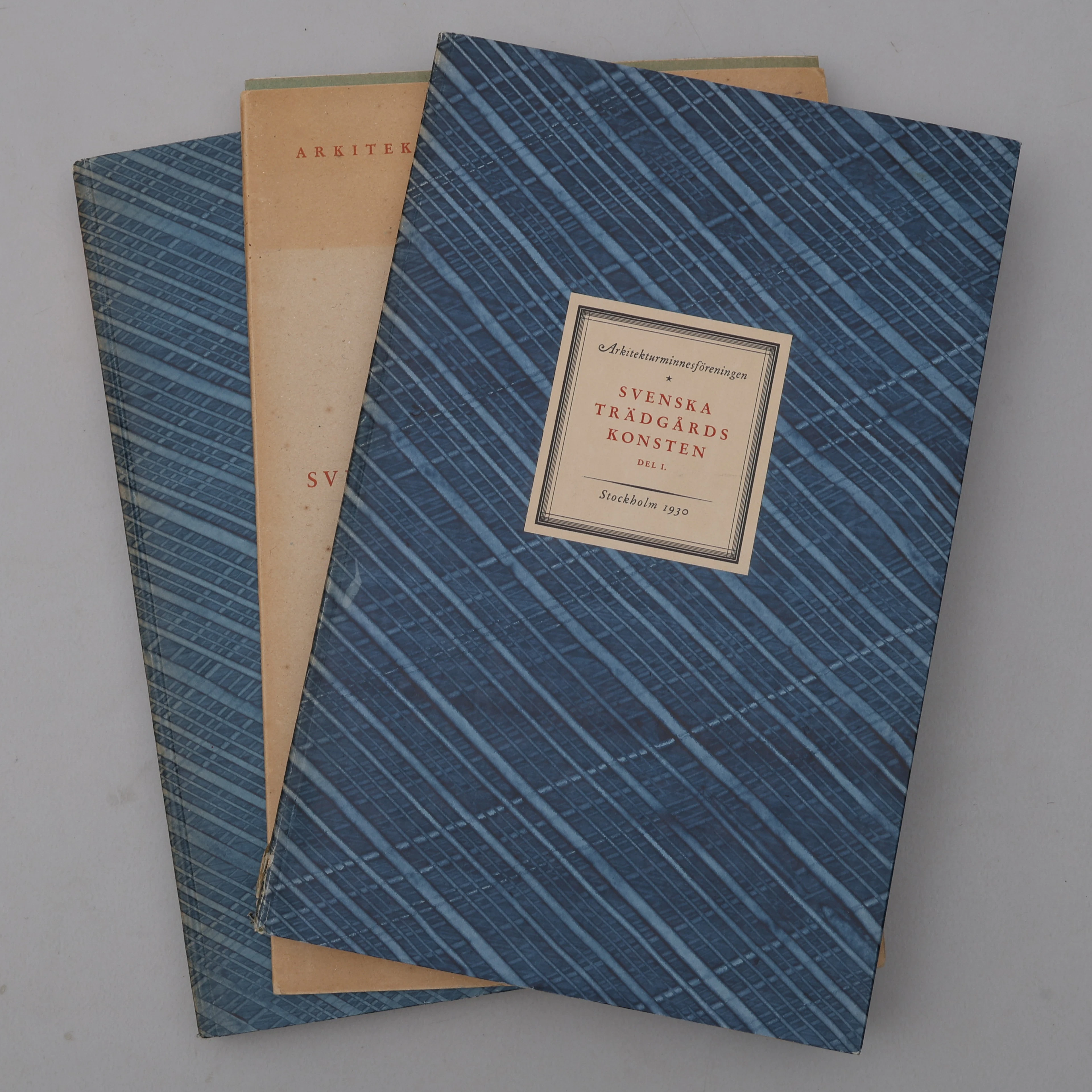
BIBLIOFILI/TRÄDGÅRD. SVENSKA TRÄDGÅRDSKONSTEN SÅDAN DEN TILL VÅRA
10/07/2026
€98.39
Est.: €266.61
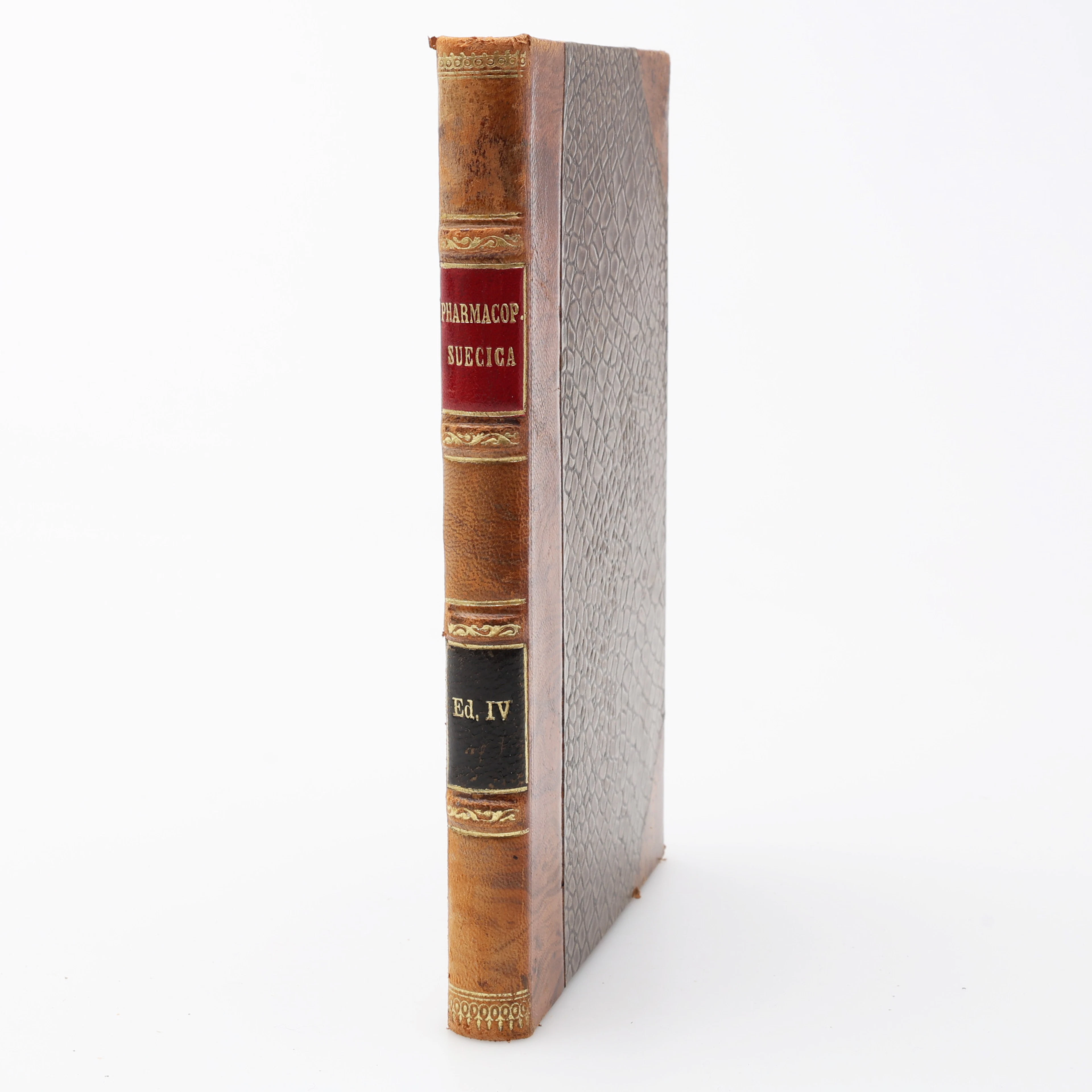
FARMAKOLOGI. PHARMAKOPOEA SVECICA EDITIO QUARTA EMENDATA/FJÄRDE RÄTTADE
10/07/2026
€68.96
Est.: €44.1
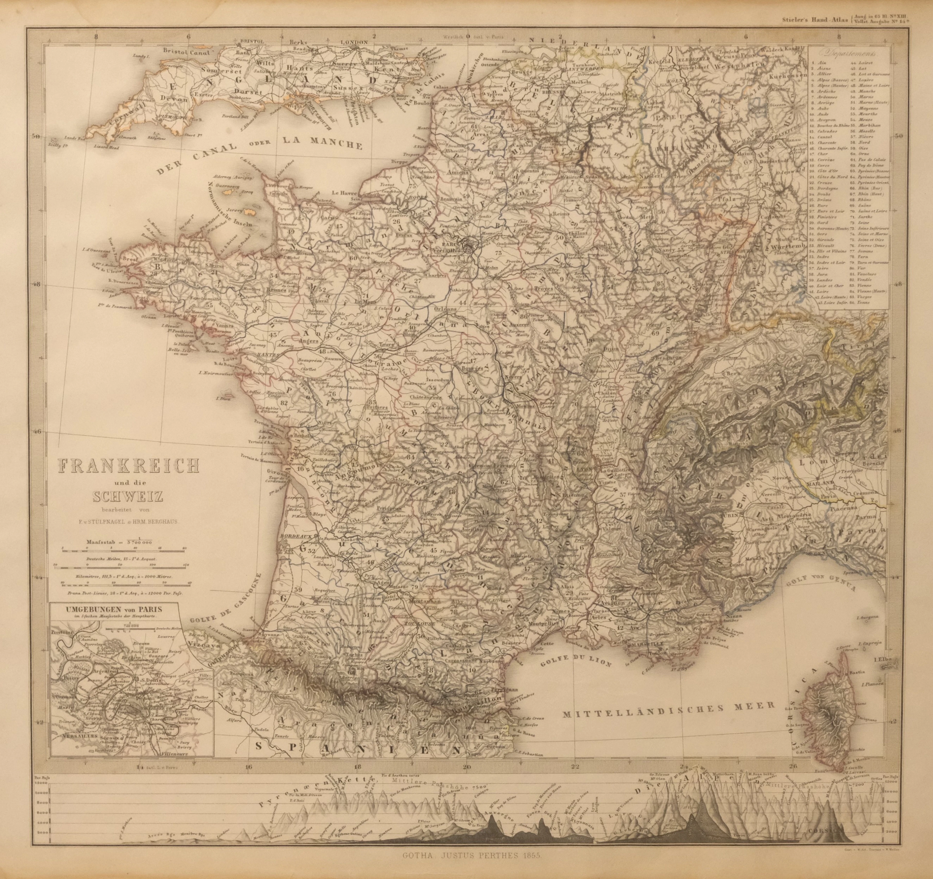
KARTA ÖVER FRANKRIKE OCH SCHWEIZ. UR STIELER'S HAND-ATLAS, 1855.
10/07/2026

€35.77
Est.: €44.43
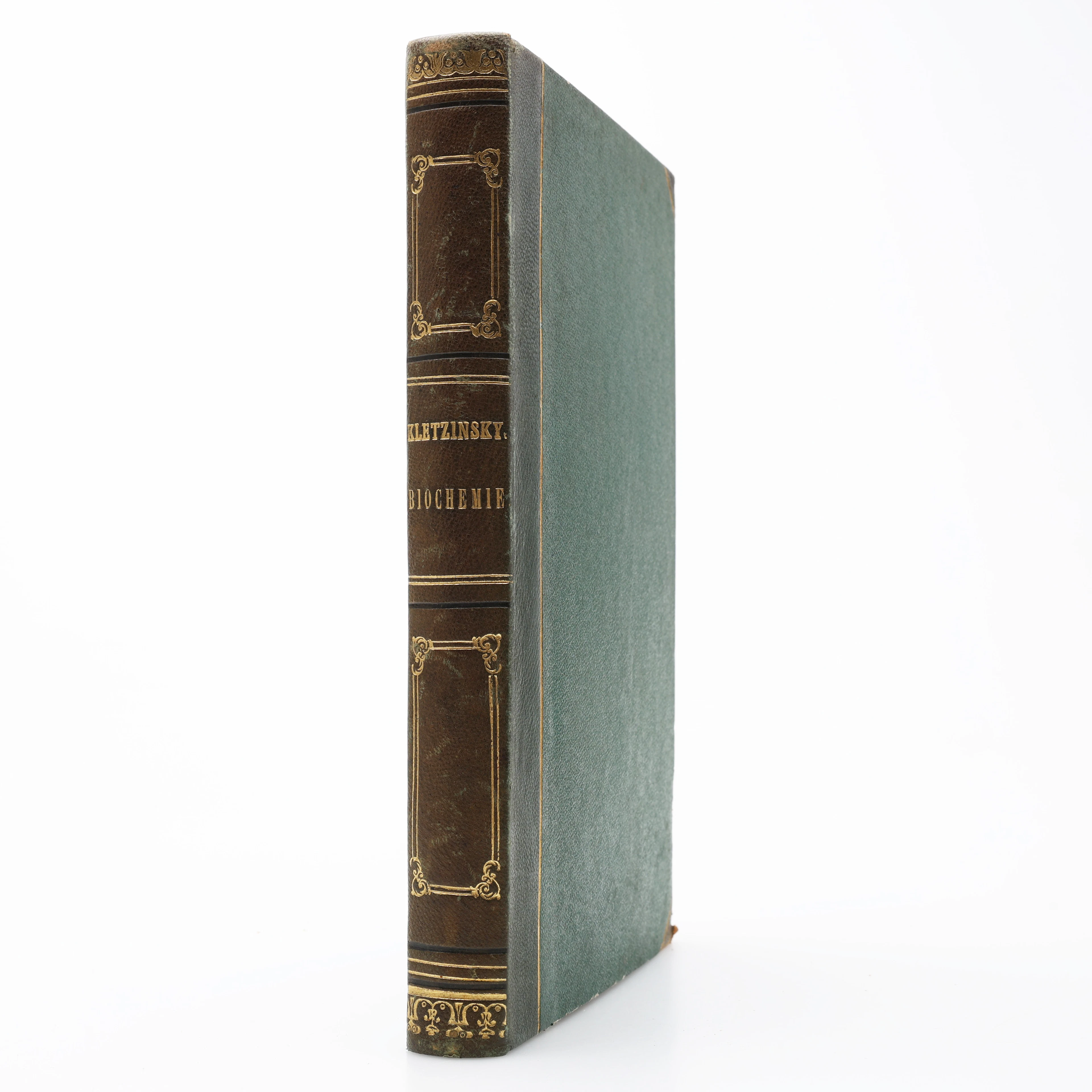
KBIOKEMI. VINCENZ KLETZINSKY'S COMPENDIUM DER BIOCHEMIE 1858 - DEN
10/07/2026
€125.22
Est.: €176.4
¡Lleva tu subasta a coleccionistas de todo el mundo!
Publica ahora