








Todas las subastas / Libros, mapas, papel & manuscritos / Australia - Southern Hemisphere / Oceania / New Zealand; La Haye / P

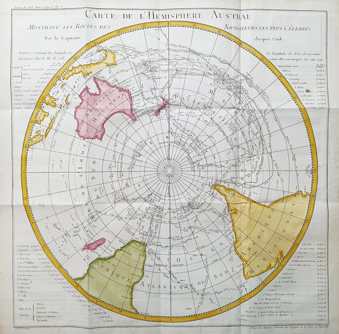
This Geographic Map is an original copper-plate engraving from 1747 (18th Century). This is the new and updated edition of BELLIN & PREVOST, edited in 1747 and around 1788 in its rare work, which bears the title: "HISTOIRE GENERALE DES VOYAGES AMSTERDAM, 1747". Beautiful Geographical Chart, printed in the Netherlands, with excellent inking and fantastic watercolor, and considering the edition year, it is geographically well detailed in every point. Conditions: the conditions are very, very good considering its age and its size, as the photos themselves show; however there are the usual editorial folds, easily removable and entirely insignificant. The overall dimensions of the map are: 59 cm x 58 cm
Estimación:€150
Ir a la subastaVer todos los artículos deCatawikioLibros, mapas, papel & manuscritos
Estimación:
€150
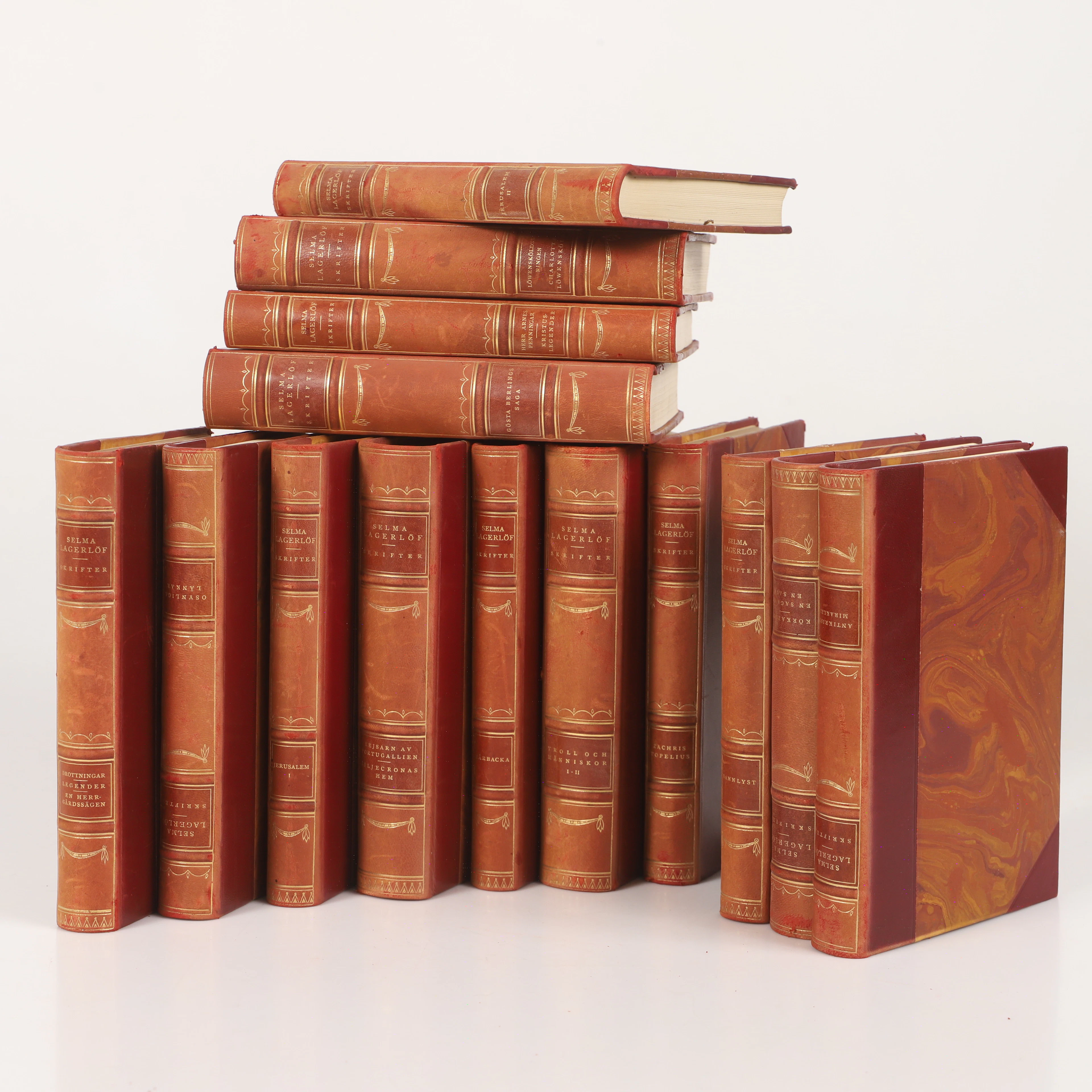
SELMA LAGERLÖF. Böcker, 14 stycken, Albert Bonniers Boktryckeri 1925.
10/16/2026

€58.35
Est.: €35.84
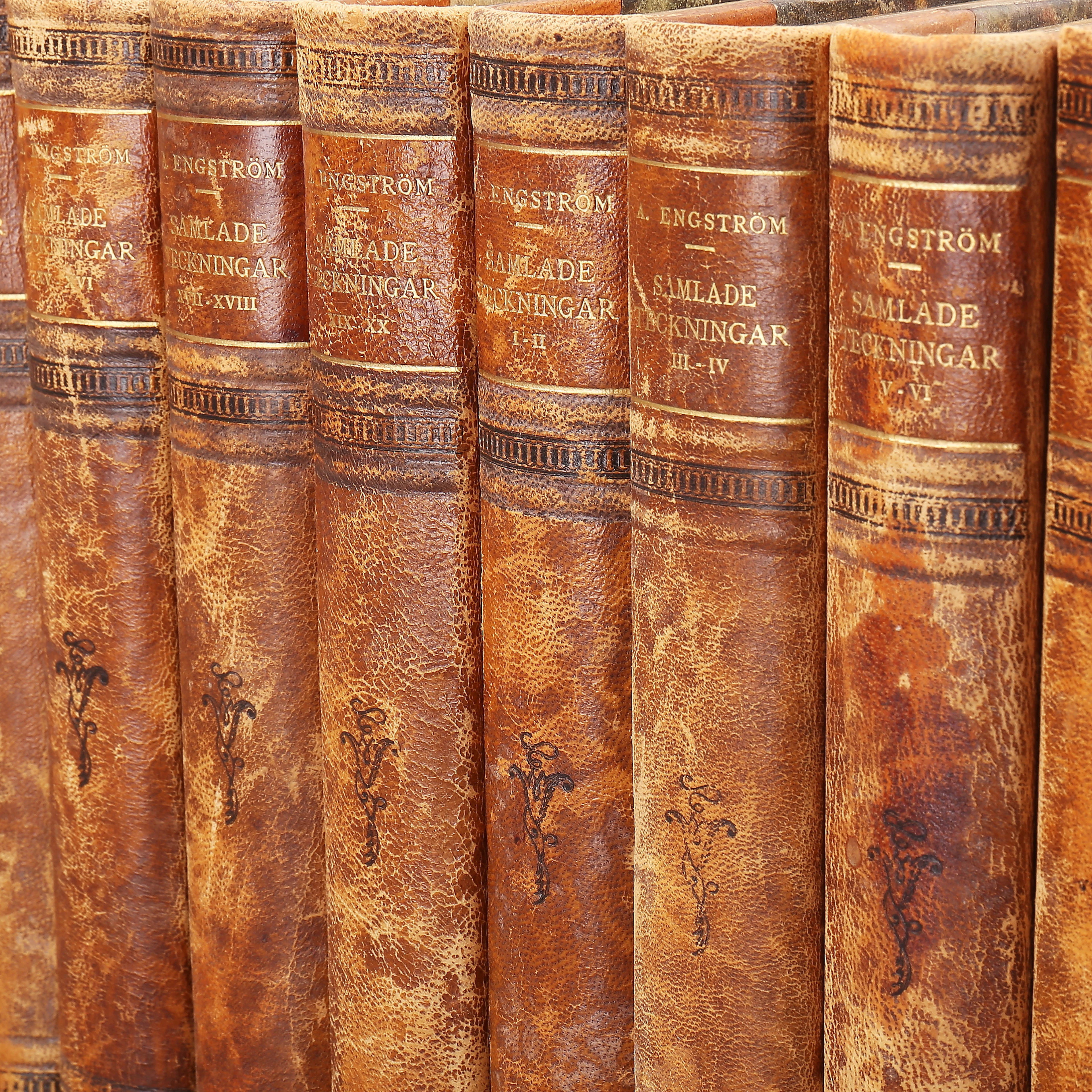
ALBERT ENGSTRÖM, samlade teckningar, 10 band.
10/16/2026
€46.68
Est.: €44.8
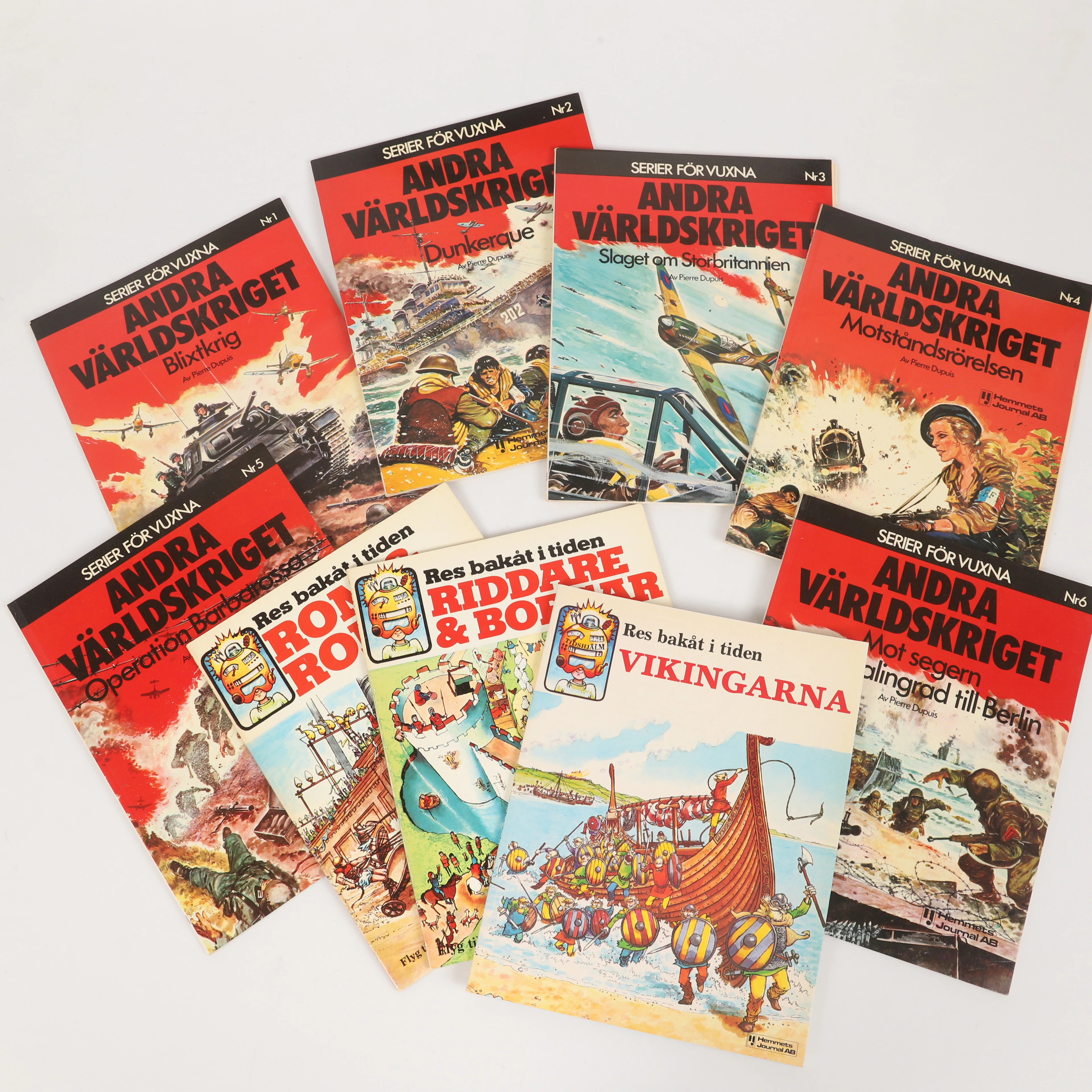
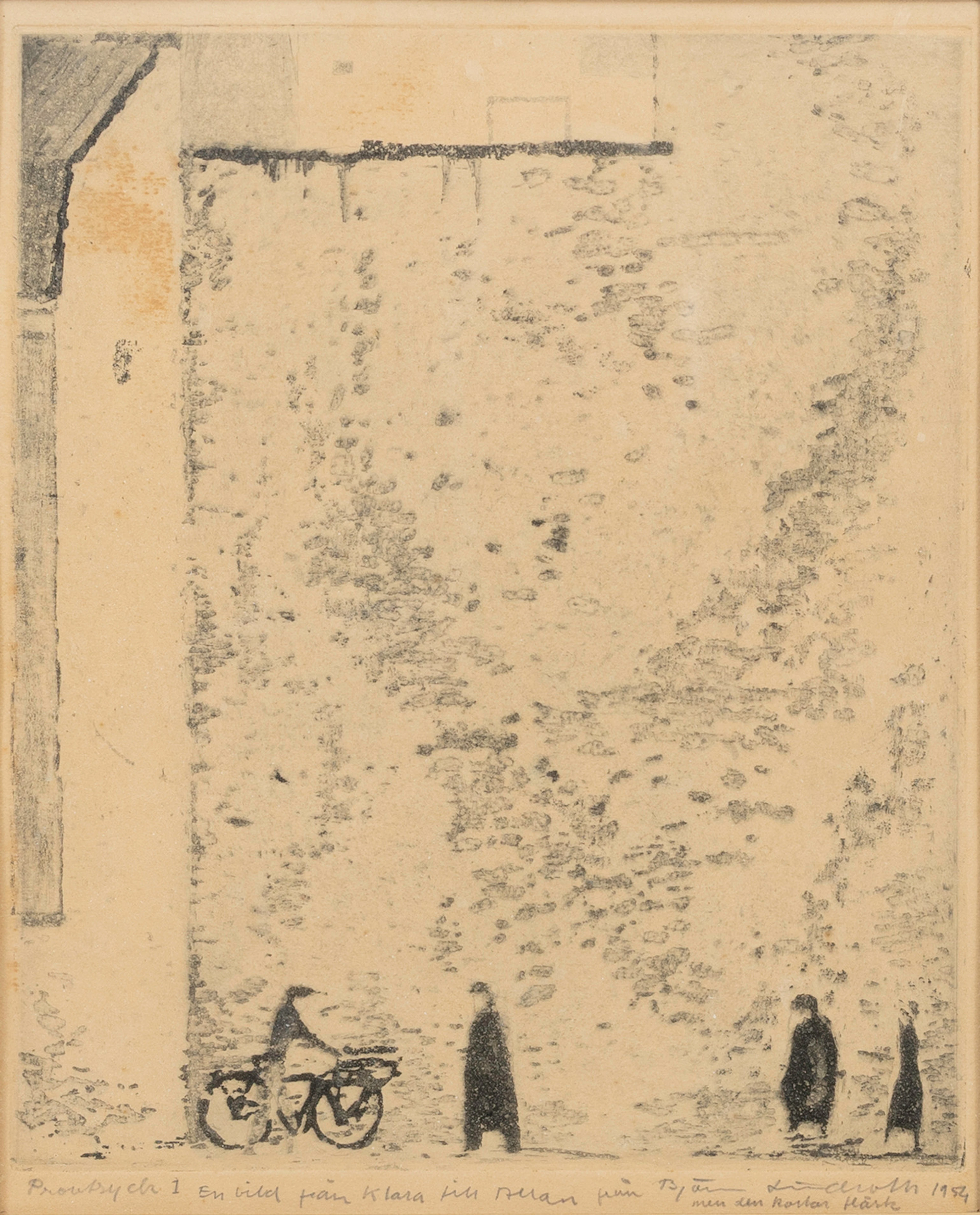
BJÖRN LINDROTH. , etsning, "En bild från Klara", provtryck 1 med personlig
10/16/2026
€98.75
Est.: €178.93


OCT 27 | 4:00 PM
¡Lleva tu subasta a coleccionistas de todo el mundo!
Publica ahoraAl suscribirte, aceptas la política de privacidad. Cancela tu suscripción en cualquier momento.
Barnebys HQ
Brahegatan 10
BOX 5038
114 37 Stockholm
