





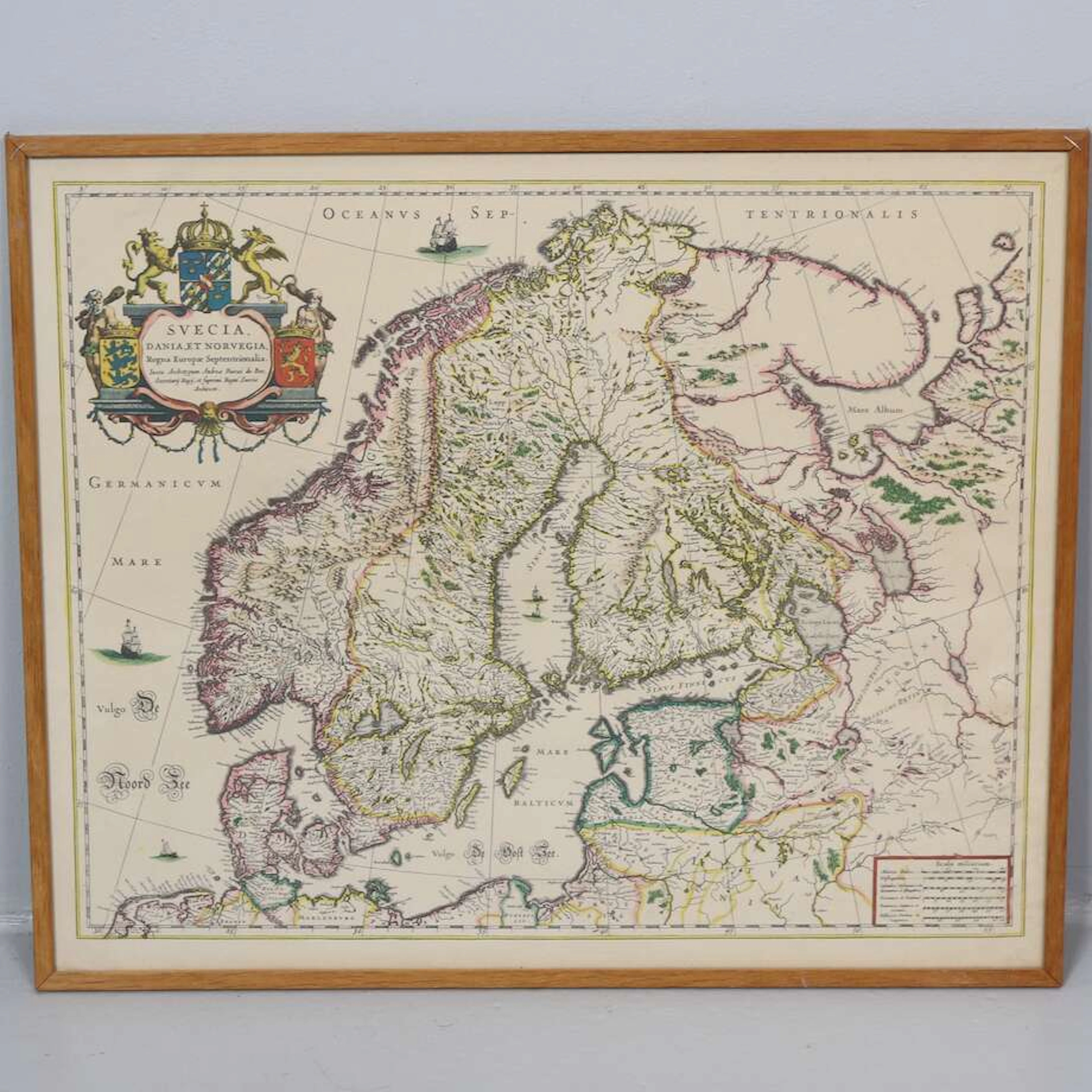



Todas las subastas / Libros, mapas, papel & manuscritos / Australia - Oceania

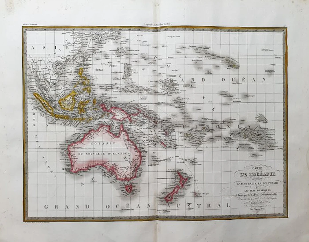
This Geographical Map is an original copperplate engraving from about 1829. This is the updated edition of the famous work by LAPIE, published by ALEXANDRE and PIERRE. LAPIE, circa 1829. The map in question comes from the beautiful and highly illustrated work, titled: "Atlas Universel de Géographie ancienne et moderne, précédé d'une Abrégé de Geographie physique et historique..... A PARIS, 1829 ca." Very large map in an enormous FOLIO, published in PARIS, with excellent original coloring, wide margins, and geographically well detailed in every point. Conditions: the condition is very good, excellent in every respect as shown in the photo. The overall measurements of the map are: 67 cm × 52 cm
Estimación:€3
Ir a la subastaVer todos los artículos deCatawikioLibros, mapas, papel & manuscritos
Estimación:
€3
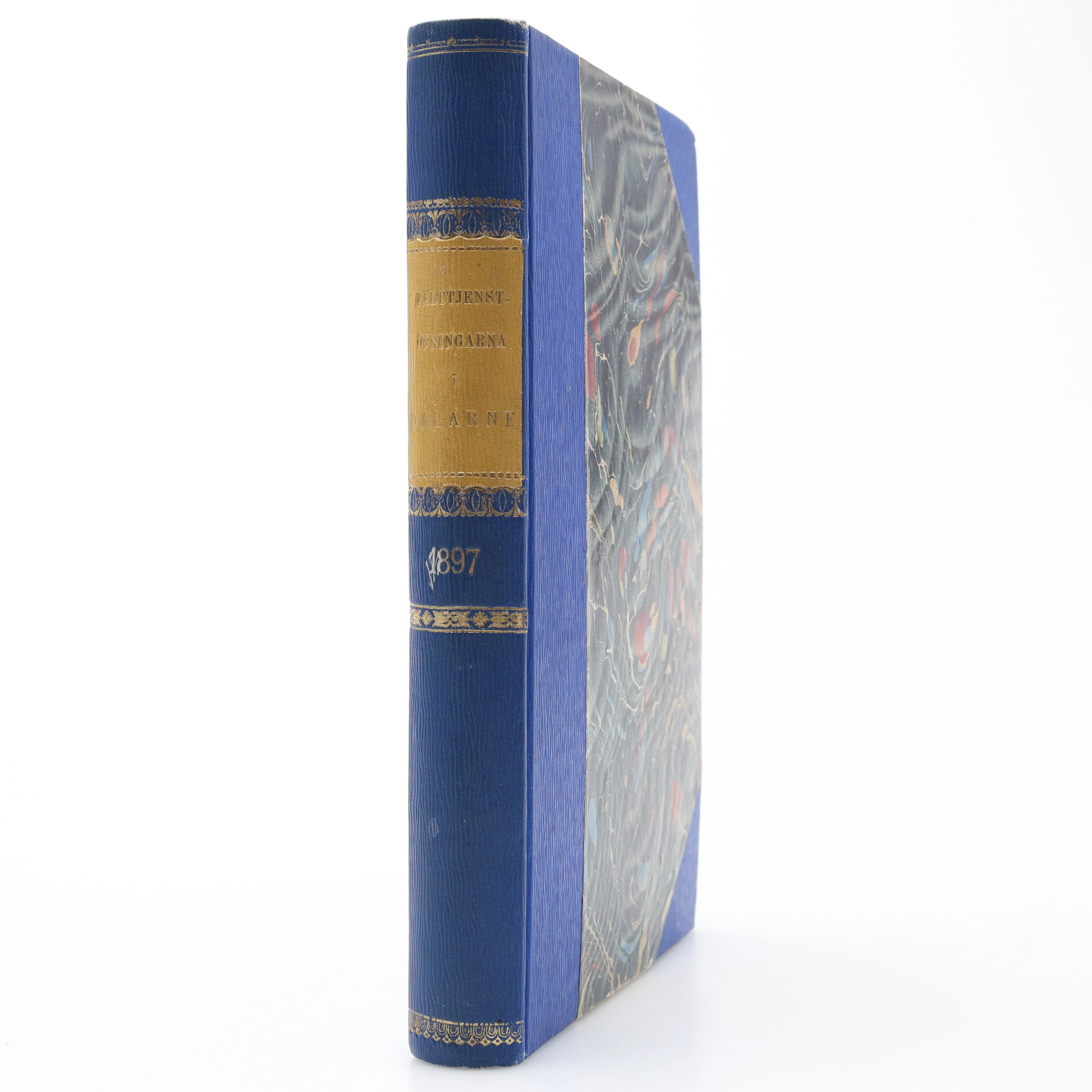
MILITARIA. GENERALSTABENS BERÄTTELSE OM FÄLTTJENSTÖFNINGARNA I DALARNE
10/17/2026
€26.95
Est.: €31.24
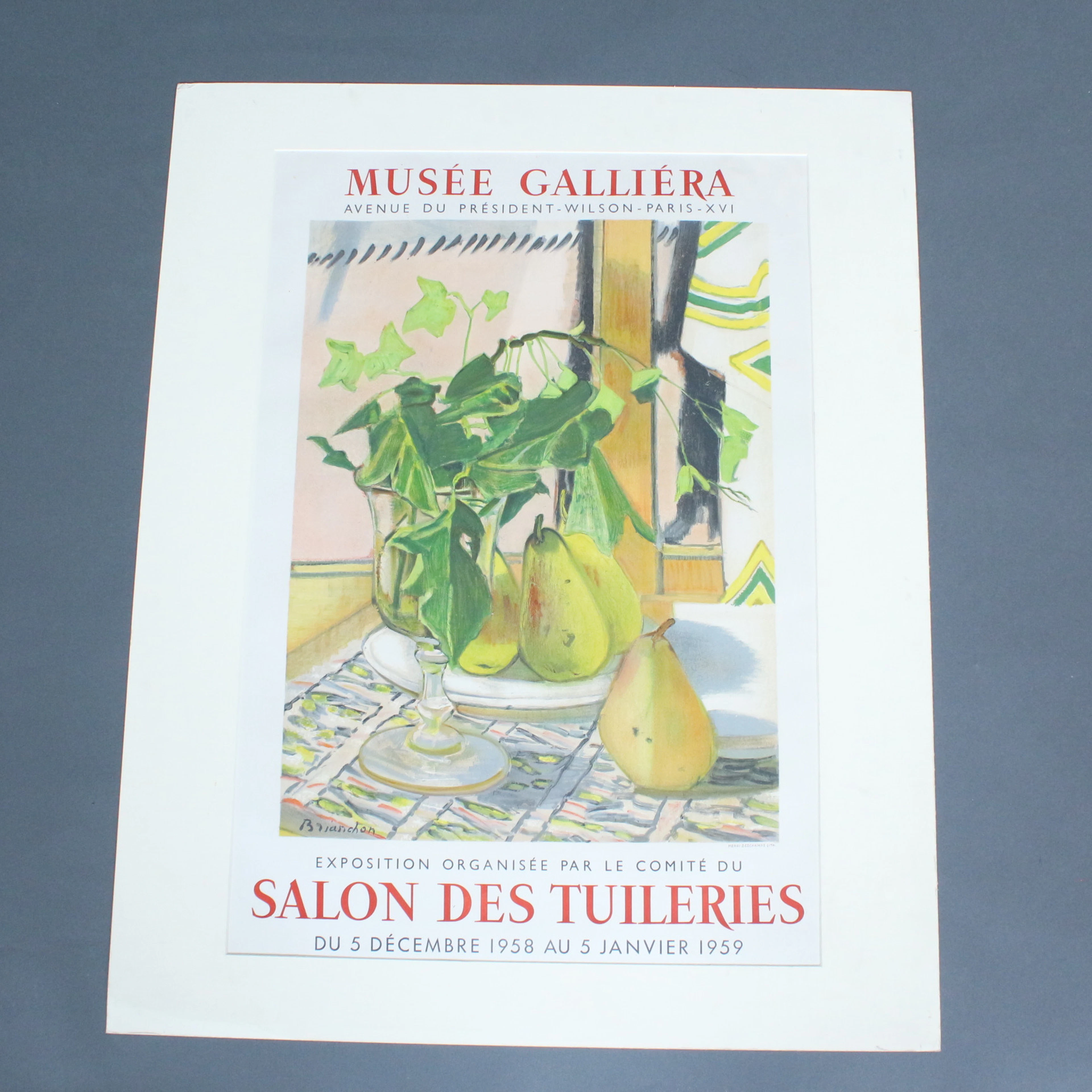
Plakat, Musee Galliera, '' Salon Des Tuileries.
10/17/2026
€50
Est.: €80
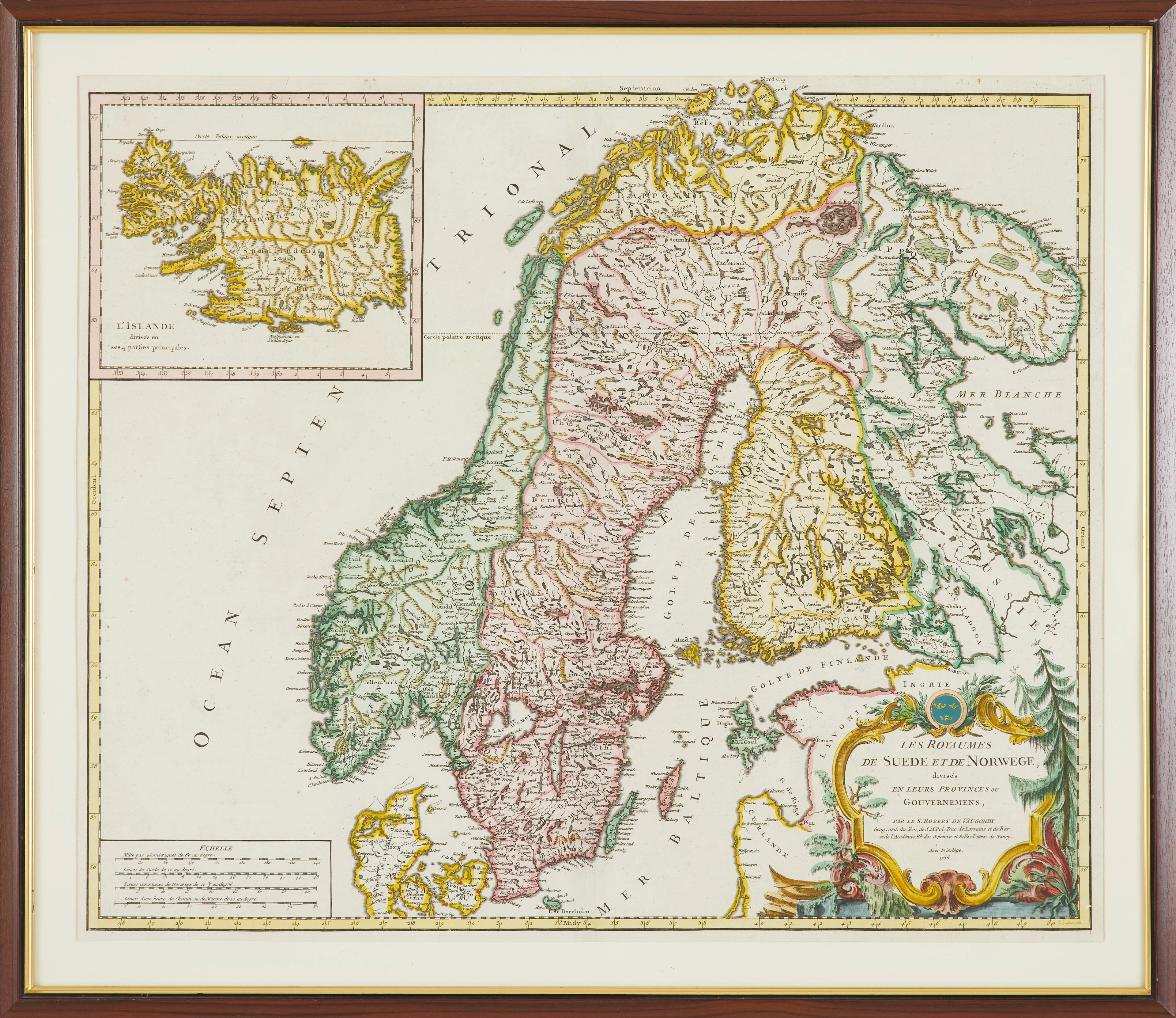
KARTA, " Les Royaumes De Sued Et De Norwege" av Gilles Robert De Vaugondy
10/17/2026
€89.85
Est.: €178.51


OCT 27 | 4:00 PM
¡Lleva tu subasta a coleccionistas de todo el mundo!
Publica ahoraAl suscribirte, aceptas la política de privacidad. Cancela tu suscripción en cualquier momento.
Barnebys HQ
Brahegatan 10
BOX 5038
114 37 Stockholm
