








OCT 27 | 4:00 PM

Todas las subastas / Libros, mapas, papel & manuscritos / Asia - The map depicts China

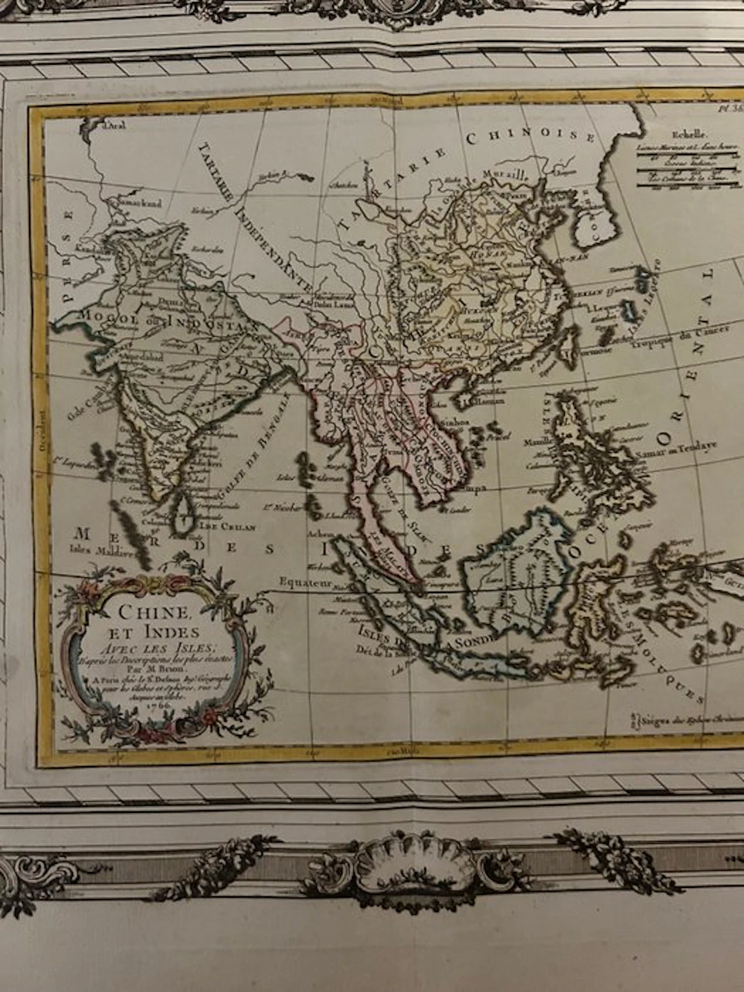
Antique map titled Chine et Indes avec les Isles, dated 1766, attributed to Louis Brion de la Tour and associated with the publisher Louis-Charles Desnos. The map depicts China, India, Southeast Asia, and numerous islands in the area, with toponyms in French, a geographic grid, and a decorative cartouche. The composition is enhanced by an elegant Rococo-style ornamental frame. Copperplate print on paper, with coloration visible along the geographic outlines. The specimen carries the charm and patina of a historical print. Era: 18th century, date shown as 1766. Language: French.
Estimación:€3
Ir a la subastaVer todos los artículos deCatawikioLibros, mapas, papel & manuscritos
Estimación:
€3
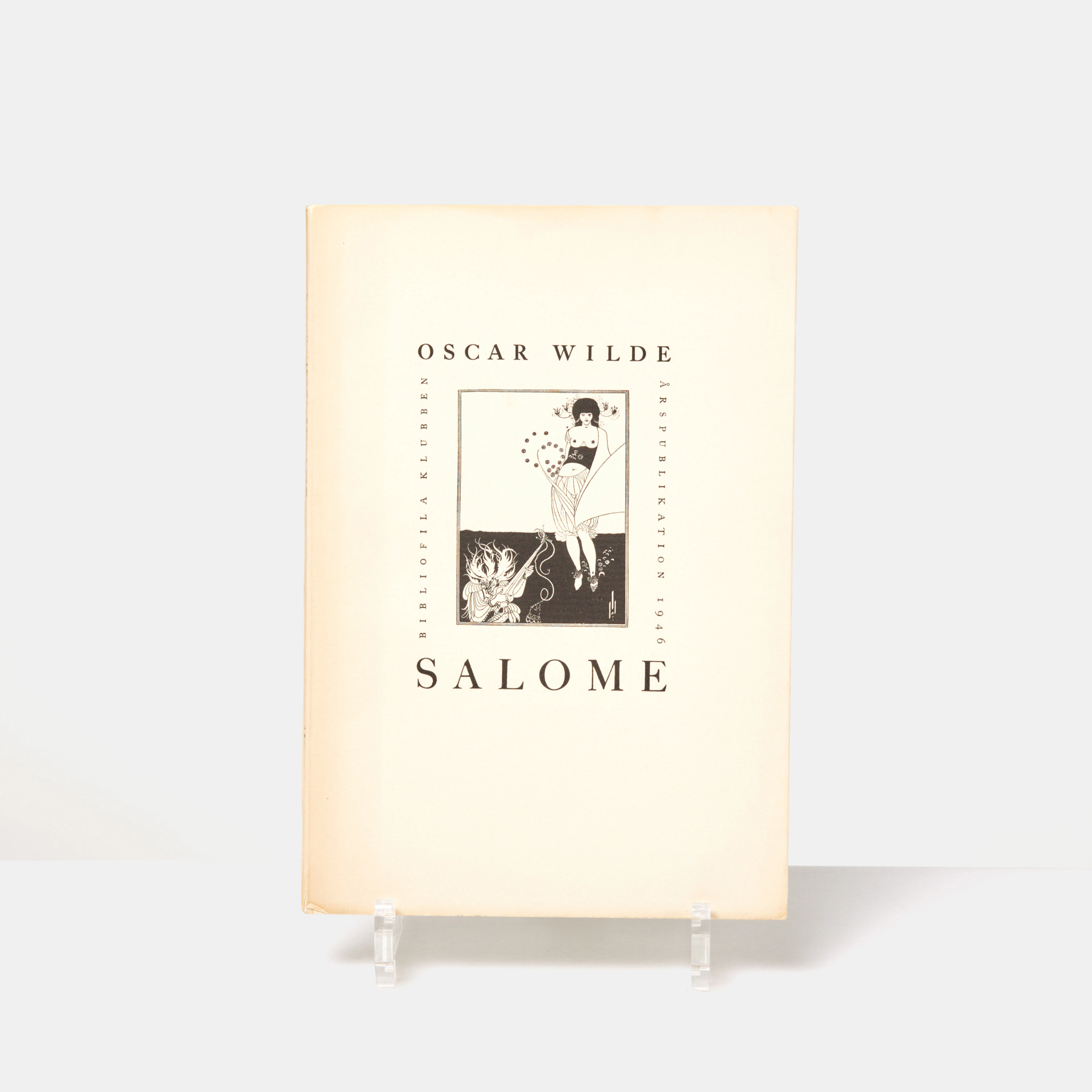
OSCAR WILDE, "Salome", tragedi i akt med 16 teckningar av Aubrey Beardsley
10/13/2026
€76.17
Est.: €89.26
OCT 27 | 4:00 PM
¡Lleva tu subasta a coleccionistas de todo el mundo!
Publica ahoraAl suscribirte, aceptas la política de privacidad. Cancela tu suscripción en cualquier momento.
Barnebys HQ
Brahegatan 10
BOX 5038
114 37 Stockholm
