









OCT 27 | 4:00 PM

Todas las subastas / Libros, mapas, papel & manuscritos / Asia - East Indies

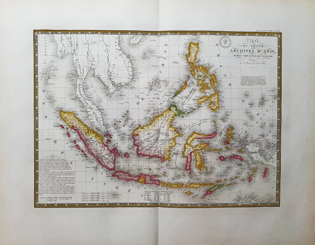
- This Geographical Map is an original 1834-ish copperplate engraving in IMPERIAL-FOLIO. - It is the A. BRUE edition, very beautiful and particularly rich in geographical as well as historical information. - The map in question comes from the work whose title is: "ATLAS UNIVERSEL de Geographie Physique, Politique, Ancienne et Moderne, Contenant les Cartes Generales et Particulieres A PARIS, 1834 ca." - Beautiful map published in PARIS, with excellent coloring, wide margins, and geographically well detailed in every point. - Conditions: the condition is more than good, excellent, as in the photo. - The overall measurements of the map are: 68 cm x 54 cm
Estimación:€2
Ir a la subastaVer todos los artículos deCatawikioLibros, mapas, papel & manuscritos
Estimación:
€2
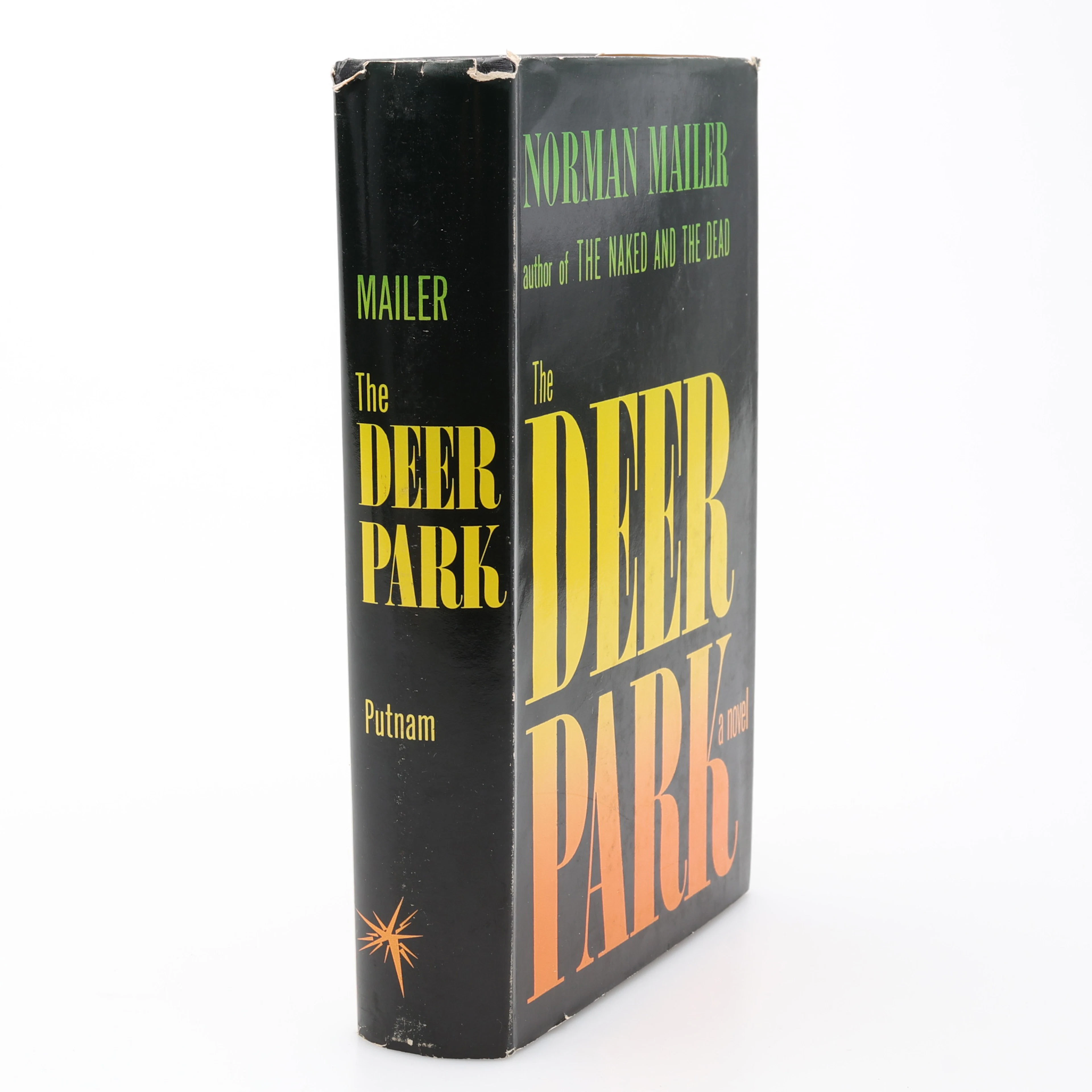
ORMAN MAILERS TREDJE BOK THE DEER PARK I FÖRSTA UPPLAGAN 1955.
10/13/2026
€31.31
Est.: €71.09

OCT 27 | 4:00 PM
¡Lleva tu subasta a coleccionistas de todo el mundo!
Publica ahoraAl suscribirte, aceptas la política de privacidad. Cancela tu suscripción en cualquier momento.
Barnebys HQ
Brahegatan 10
BOX 5038
114 37 Stockholm
