







Todas las subastas / Libros, mapas, papel & manuscritos / Antique South America Map, English, Framed Cartography, De La Rochette
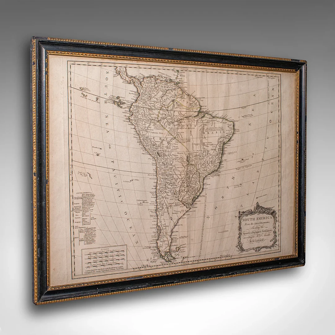
This is a superb antique map of South America. An English, framed cartographic engraving by Louis Stanislas De La Rochette, dating to the Georgian period and later, circa 1790. A fascinating example of late 18th century mapping, elegantly presented for display. A fine example of Georgian cartographic art, this antique South America map by offers a rare opportunity to appreciate both historic geography and period craftsmanship. Ideal for collectors and admirers of 18th century exploration. Delivered ready to display. Max Width: 73cm (28.75'')Max Depth: 3cm (1.25'')Max Height: 56cm (22'') Map Width: 66cm (26'')Map Height: 49cm (19.25'')
Estimación:€1,059.4
Ir a la subastaVer todos los artículos deLondon Fine AntiquesoLibros, mapas, papel & manuscritos
Estimación:
€1,059.4

VYKORTSSAMLING - SVENSKA KUNGLIGHETER. GUSTAF V, OSCAR II M.FL. I
10/15/2026
€53.86
Est.: €89.46

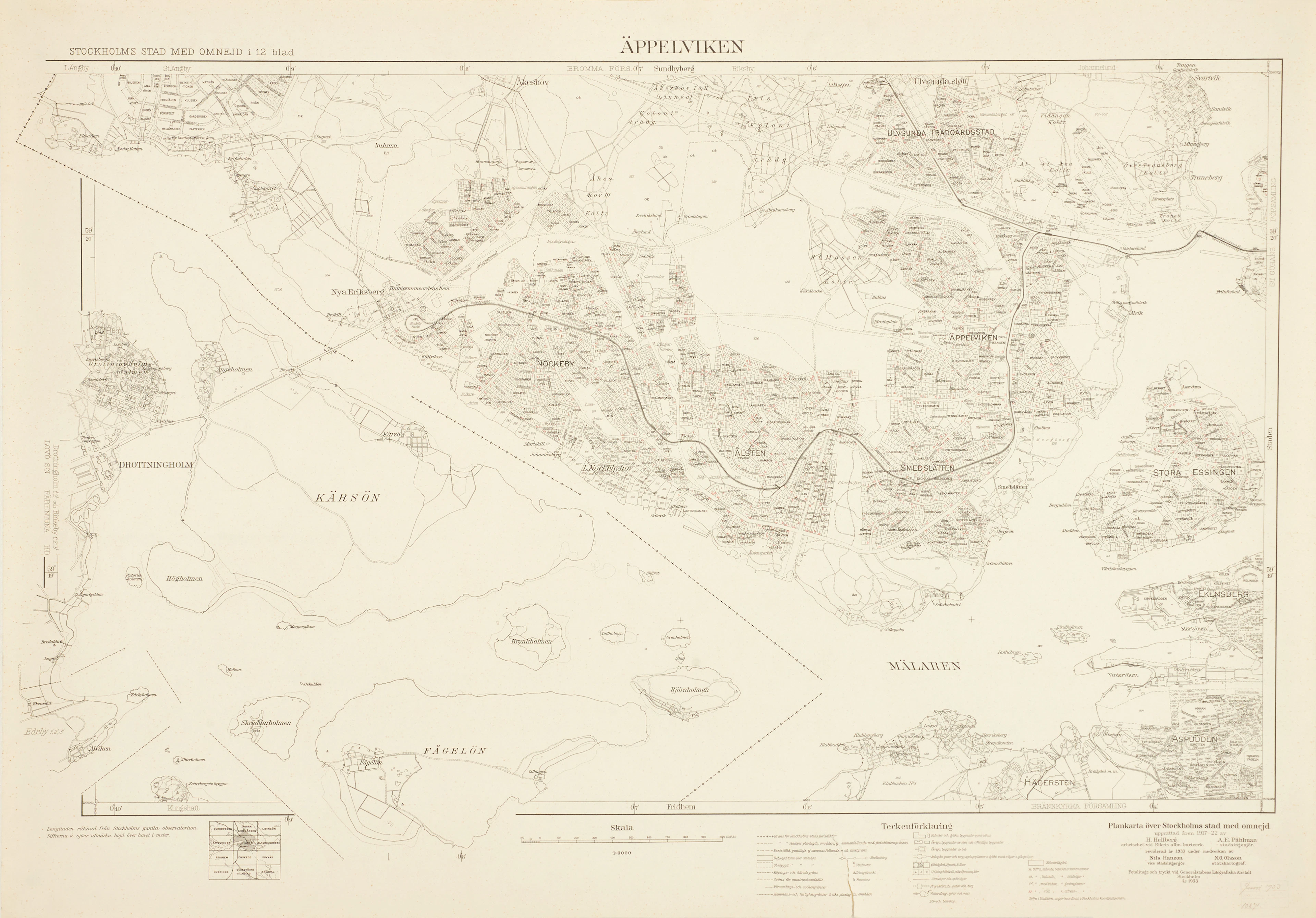
ÄPPELVIKEN, Plankarta över Stockholms Stad med omnejd, 1933, fotolitogr.
10/15/2026
€98.75
Est.: €89.46


OCT 27 | 4:00 PM
¡Lleva tu subasta a coleccionistas de todo el mundo!
Publica ahoraAl suscribirte, aceptas la política de privacidad. Cancela tu suscripción en cualquier momento.
Barnebys HQ
Brahegatan 10
BOX 5038
114 37 Stockholm
