







Todas las subastas / Libros, mapas, papel & manuscritos / Antique Map of Ireland, French, Framed Cartography, Eire, Georgian, Circa 1780
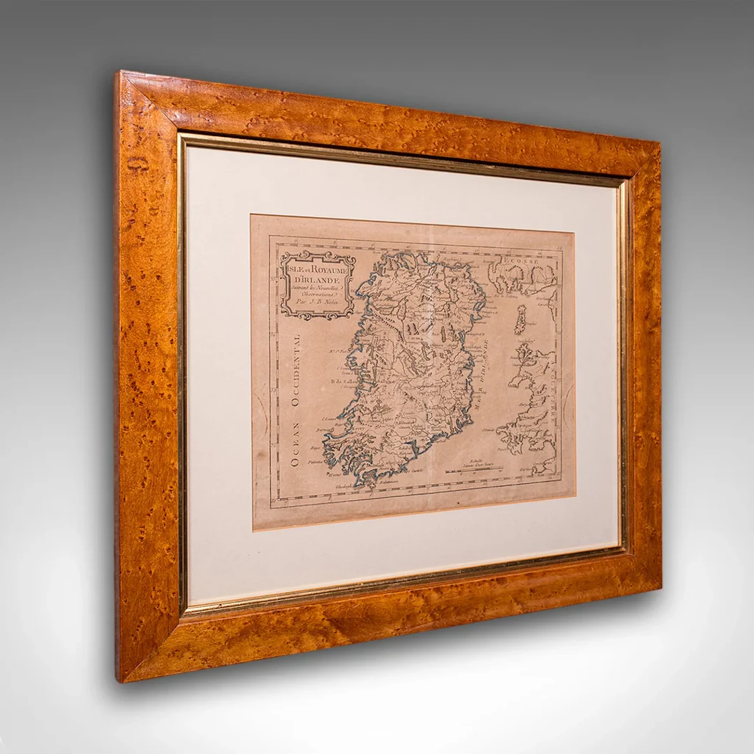
This is an antique map of Ireland. A French, maple framed cartography engraving by Jean-Baptiste Nolin, this posthumous atlas edition dating to the Georgian period, circa 1780. Full Title: This is a fascinating late 18th century Ireland map, a delightful atlas engraving published by the cartographer's son. Perfect for collectors of antique maps and national history. Delivered ready to display. Max Width: 47.5cm (18.75'')Max Depth: 2cm (.75'')Max Height: 42.5cm (16.75'') Map Width: 28.5cm (11.25'')Map Height: 23.5cm (9.25'')
Estimación:€1,059.4
Ir a la subastaVer todos los artículos deLondon Fine AntiquesoLibros, mapas, papel & manuscritos
Estimación:
€1,059.4
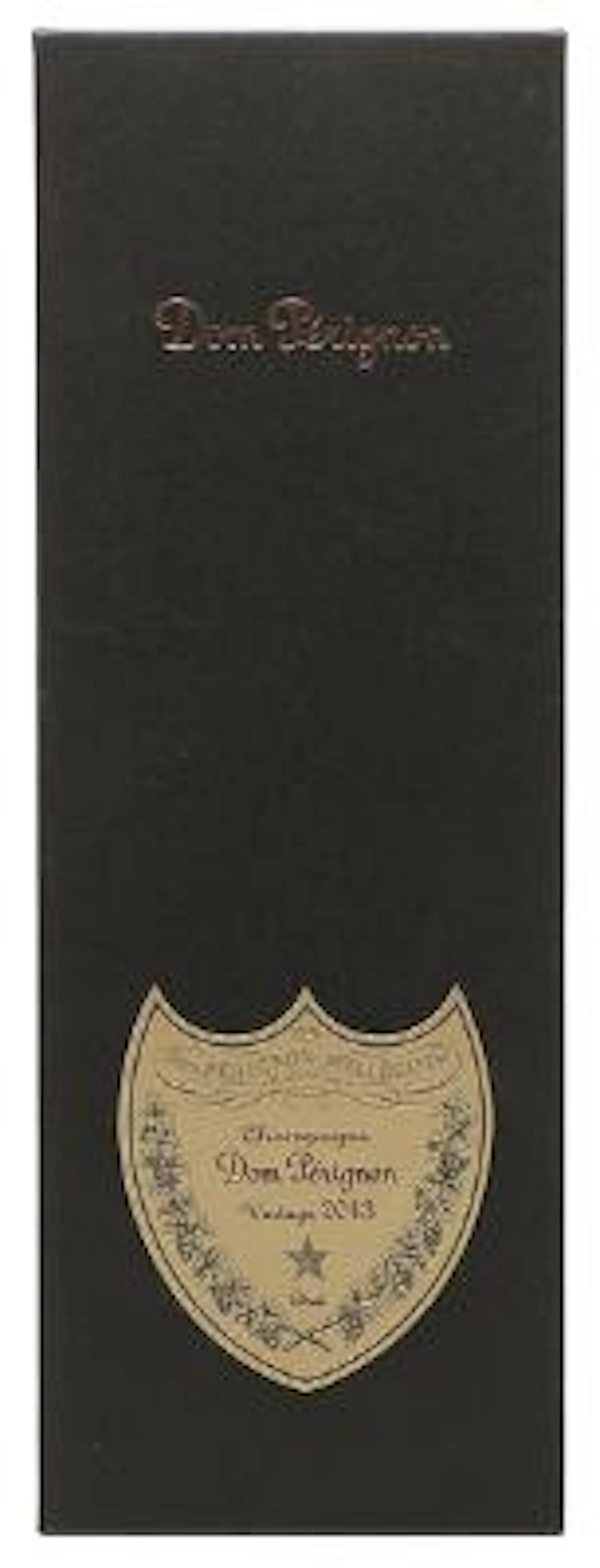
1 bt. Champagne Dom Pérignon, Moët et Chandon 2013 A (hf/in). Oc.
10/15/2026

€160.51
Est.: €187.18

1 bt. Champagne "Cristal", Louis Roederer 2016 A (hf/in). Oc. – Bruun
10/15/2026
€187.26
Est.: €187.18
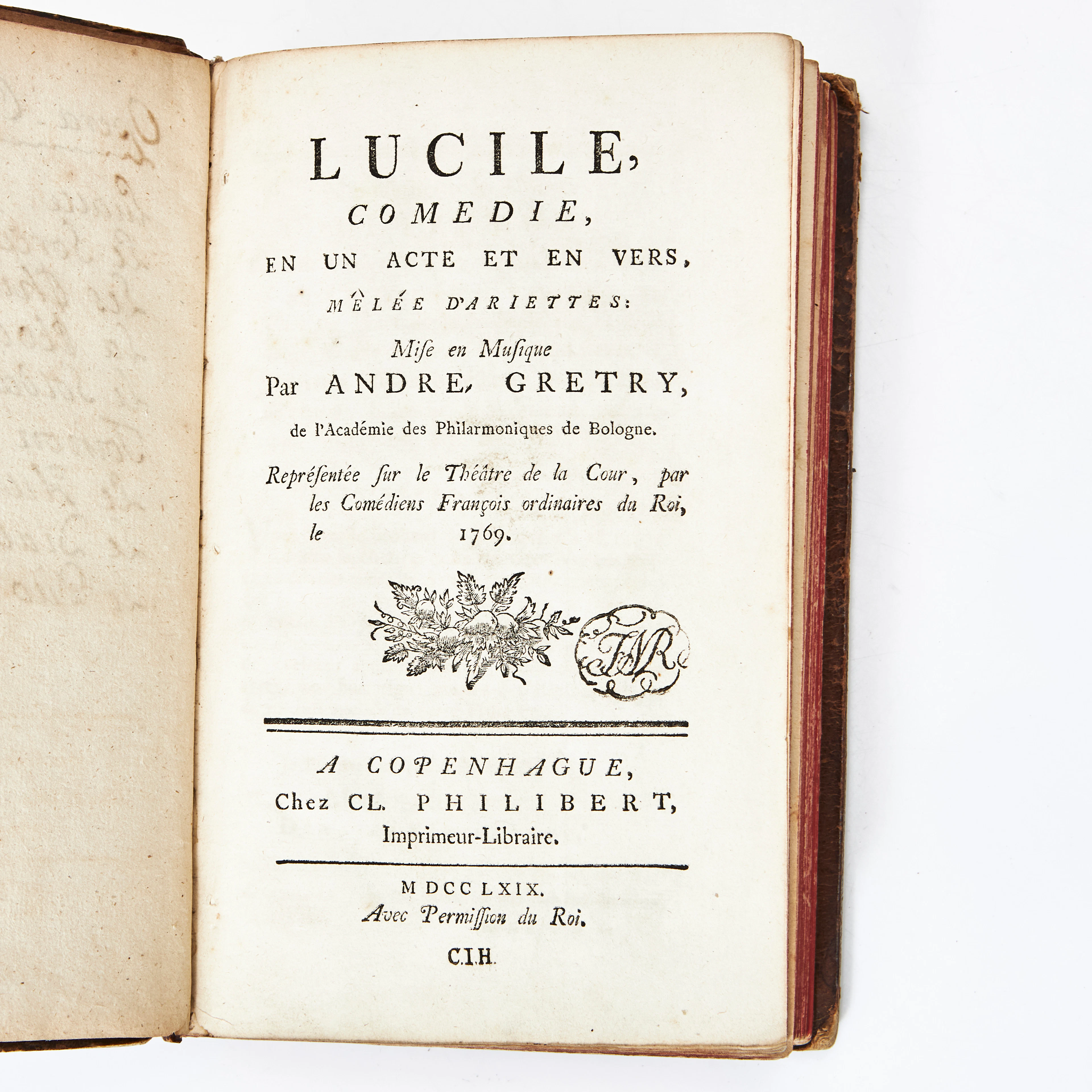
COLLECTION OF 9 PLAYS IN FRENCH 1766-69.
10/14/2026
€31.36
Est.: €134.37
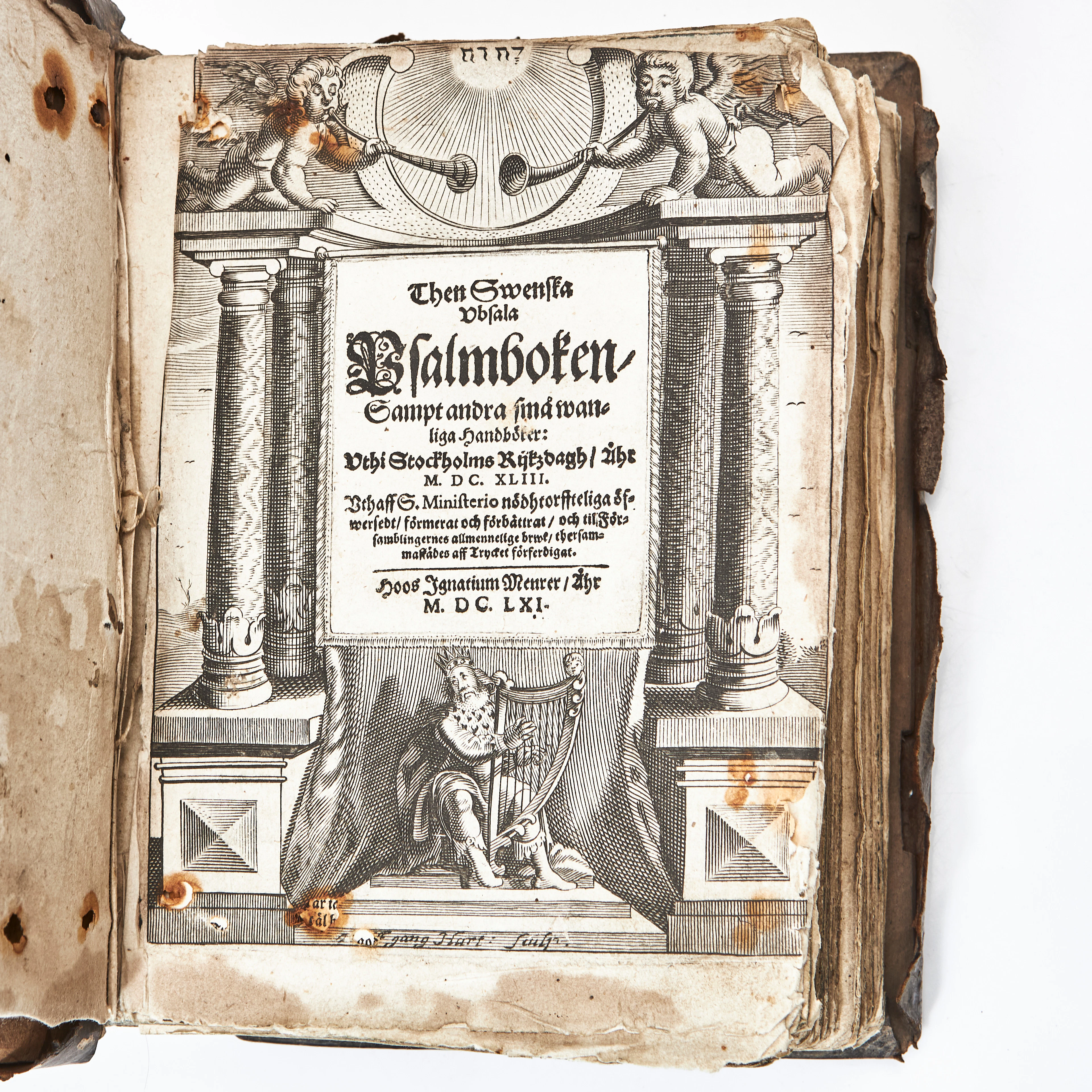
THEN SWENSKA UBSALA PSALMBOKEN 1661 MED FLERA. 3 vol.
10/14/2026
€1,305.42
Est.: €268.74


OCT 27 | 4:00 PM
¡Lleva tu subasta a coleccionistas de todo el mundo!
Publica ahoraAl suscribirte, aceptas la política de privacidad. Cancela tu suscripción en cualquier momento.
Barnebys HQ
Brahegatan 10
BOX 5038
114 37 Stockholm
