








Todas las subastas / Libros, mapas, papel & manuscritos / Antique Lithography Map, Monmouthshire, Framed, Welsh Cartography, Victorian
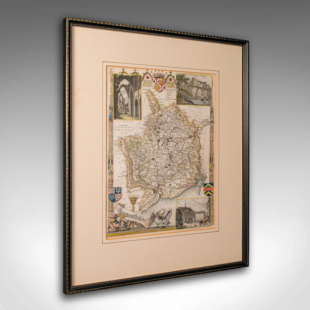
This is an antique lithography map of Monmouthshire. An English, framed atlas engraving of cartographic interest, dating to the mid 19th century and later. This is a quality antique lithography map of Monmouthshire, with fine cartographic interest. Delivered ready to display. Max Width: 33.5cm (13.25'')Max Depth: 1.5cm (.5'')Max Height: 40cm (15.75'') Map Width: 20cm (7.75'')Map Height: 26cm (10.25'')
Estimación:€349.19
Ir a la subastaVer todos los artículos deLondon Fine AntiquesoLibros, mapas, papel & manuscritos
Estimación:
€349.19
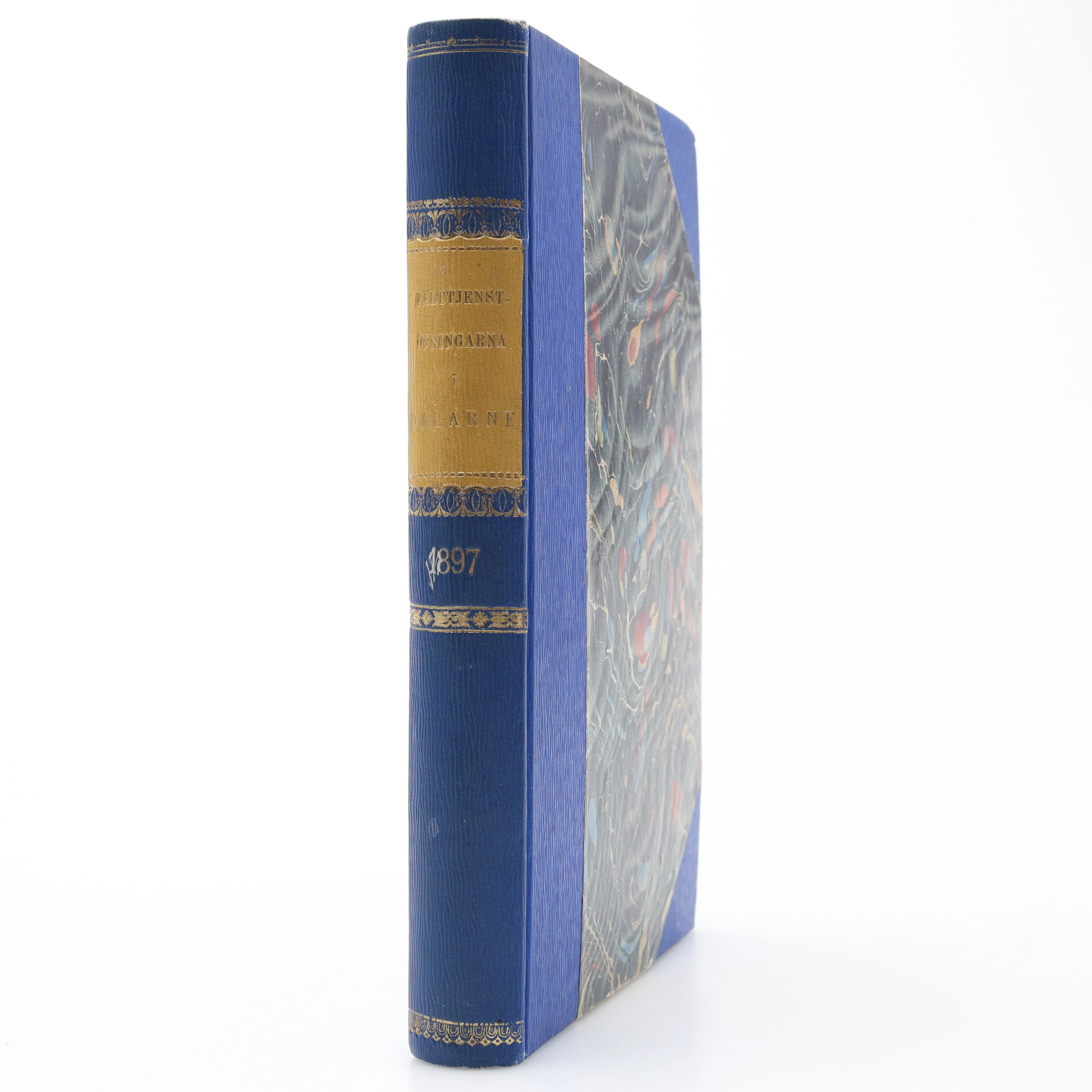
MILITARIA. GENERALSTABENS BERÄTTELSE OM FÄLTTJENSTÖFNINGARNA I DALARNE
10/17/2026
€26.96
Est.: €31.24
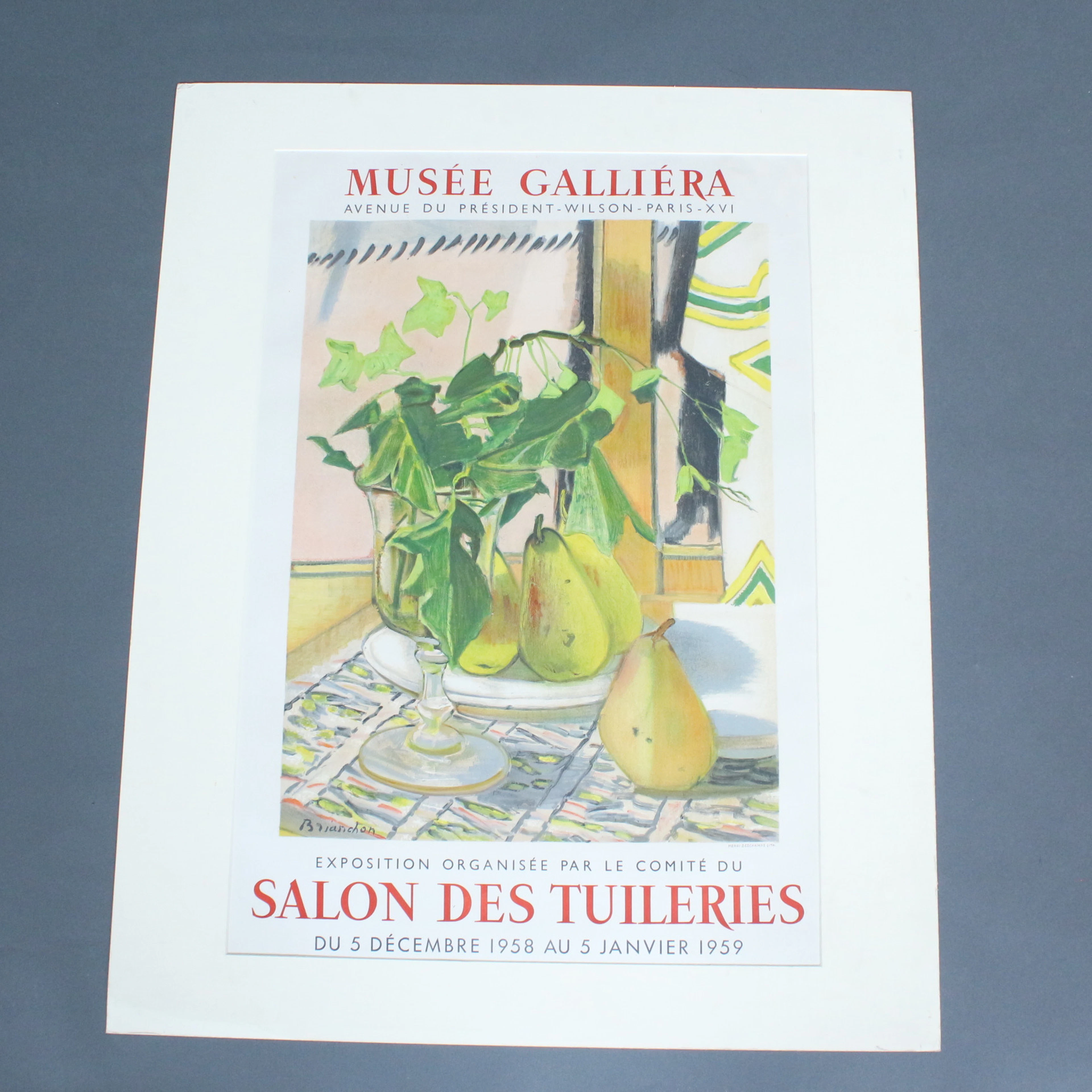
Plakat, Musee Galliera, '' Salon Des Tuileries.
10/17/2026
€50
Est.: €80
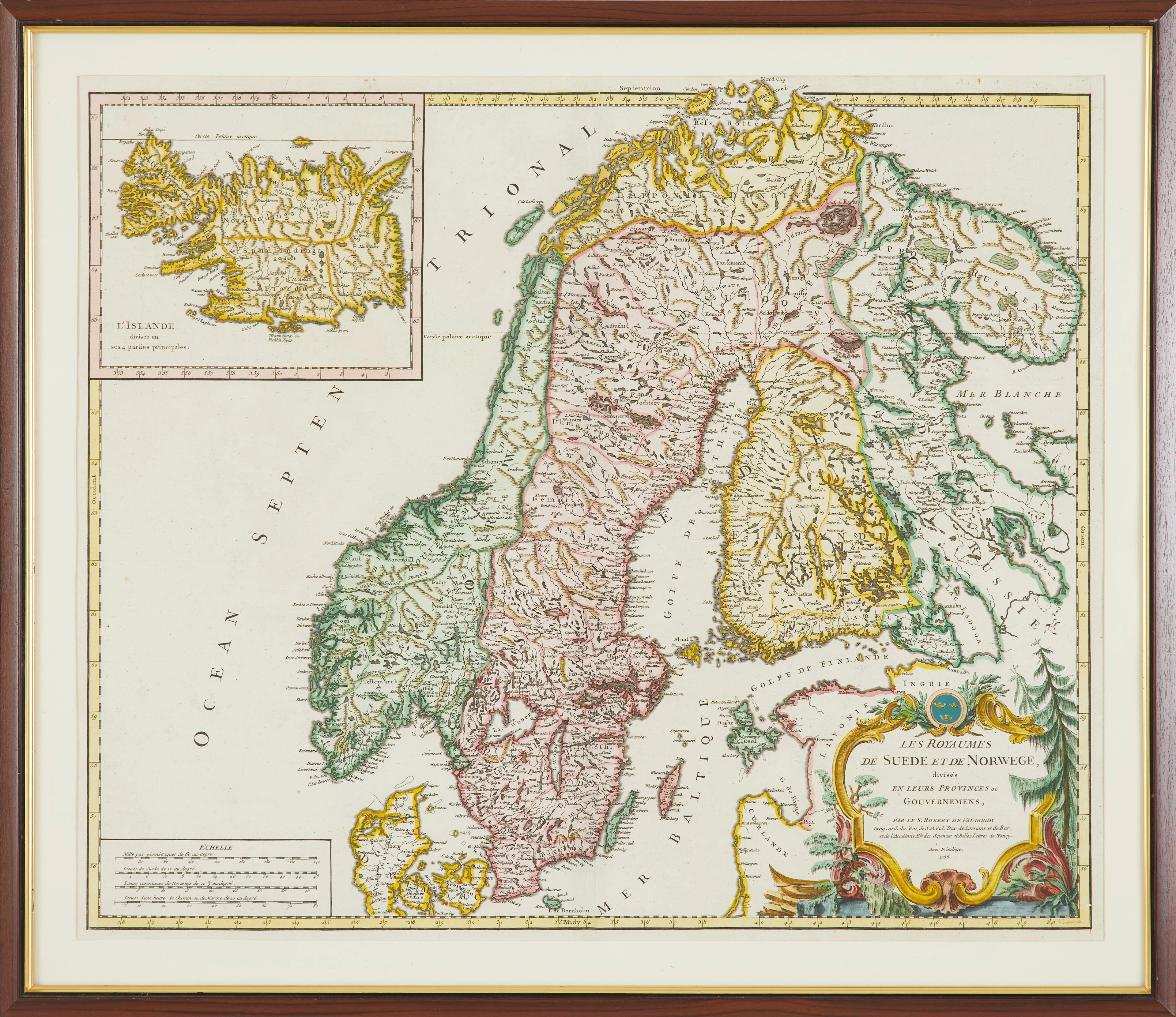
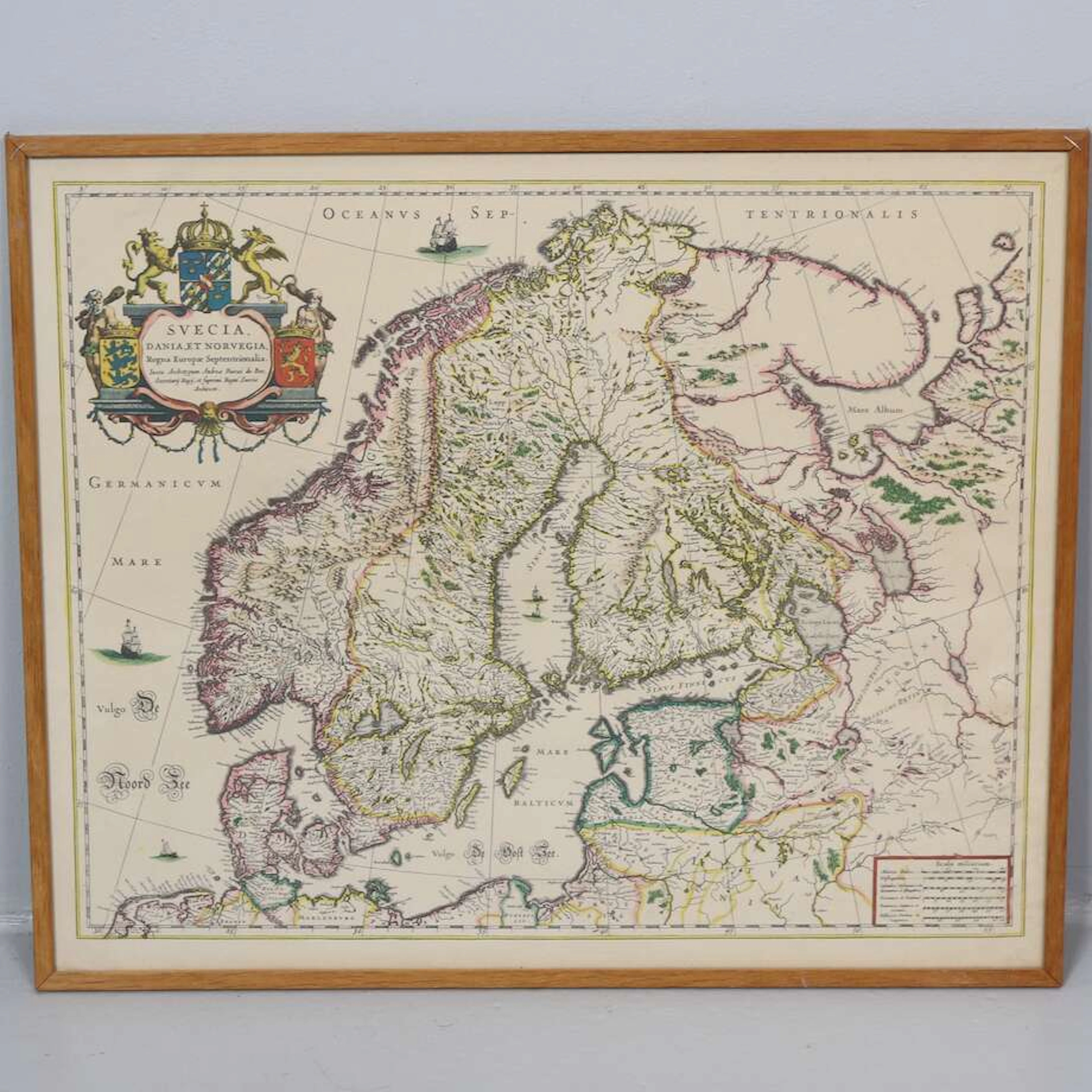
KARTA, " Les Royaumes De Sued Et De Norwege" av Gilles Robert De Vaugondy
10/17/2026
€89.85
Est.: €178.51


OCT 27 | 4:00 PM
¡Lleva tu subasta a coleccionistas de todo el mundo!
Publica ahoraAl suscribirte, aceptas la política de privacidad. Cancela tu suscripción en cualquier momento.
Barnebys HQ
Brahegatan 10
BOX 5038
114 37 Stockholm
