









Todas las subastas / Libros, mapas, papel & manuscritos / Antique Lincolnshire Map, English, County Cartography, Robert Morden, Victorian
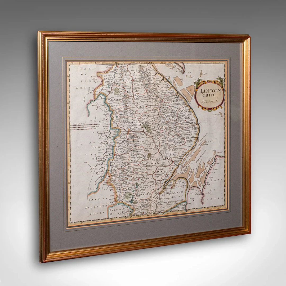
This is a fine antique county map of Lincolnshire. An English, framed reproduction engraving, dating to the Victorian period and later, circa 1900. A superb cartographic reproduction originally charted by Robert Morden in the late 17th century. With its hand-coloured detailing and charming aged appearance, this piece makes a wonderful display for the study, hallway, or library. This is a charming antique map of Lincolnshire, beautifully presented and steeped in geographic and historic interest, offering an elegant addition to any period interior or collector’s wall. Delivered ready to display, ideal for collectors of antique maps or English county history Max Width: 55cm (21.75'')Max Depth: 2.5cm (1'')Max Height: 50cm (19.75'') Map Width: 41.5cm (16.25'')Map Height: 35.5cm (14'')
Estimación:€810.83
Ir a la subastaVer todos los artículos deLondon Fine AntiquesoLibros, mapas, papel & manuscritos
Estimación:
€810.83
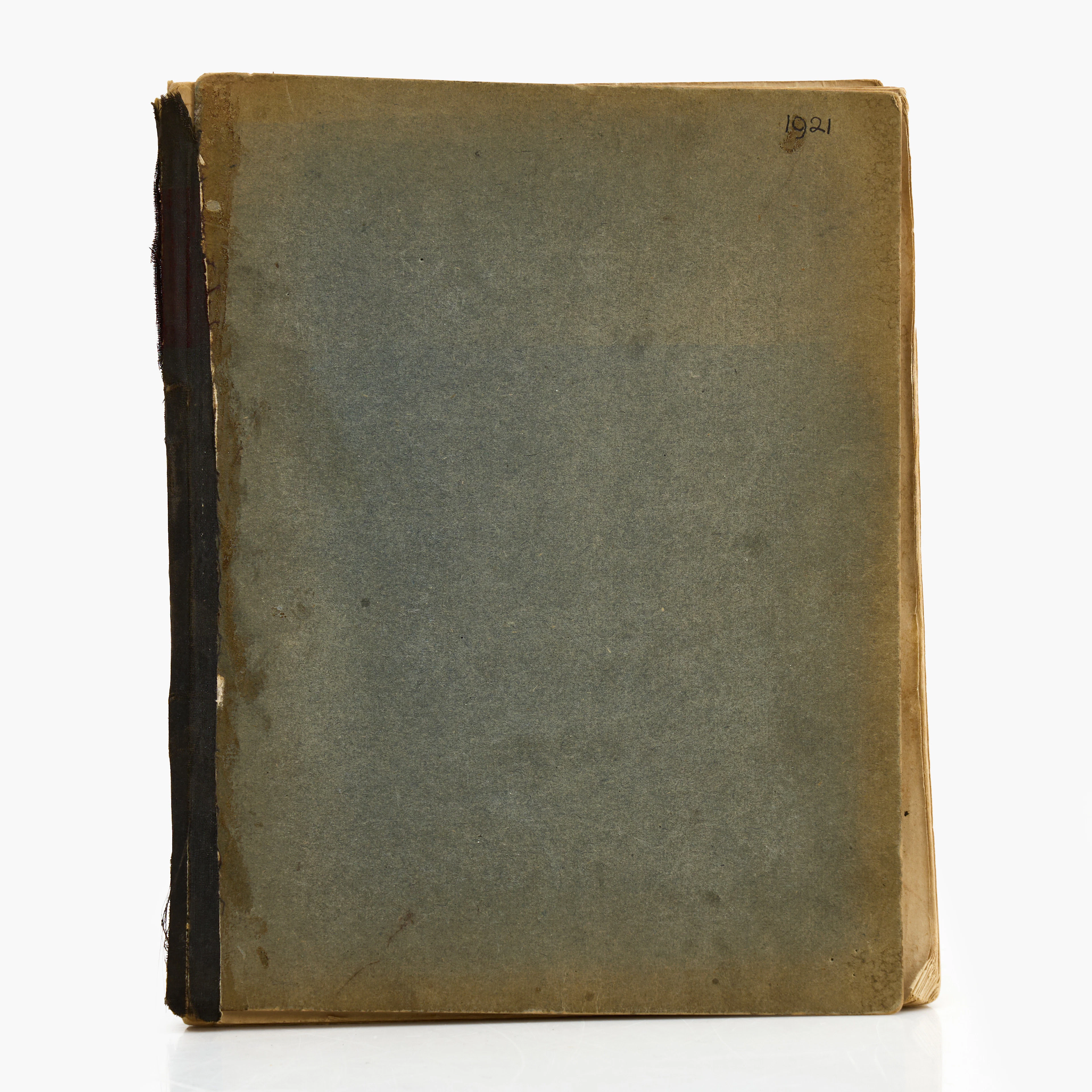
KARL NORDSTRÖM (Tjörn 1855-1923 Drottningholm). Skissbok, Frankrike
10/19/2026
€440.42
Est.: €897.77
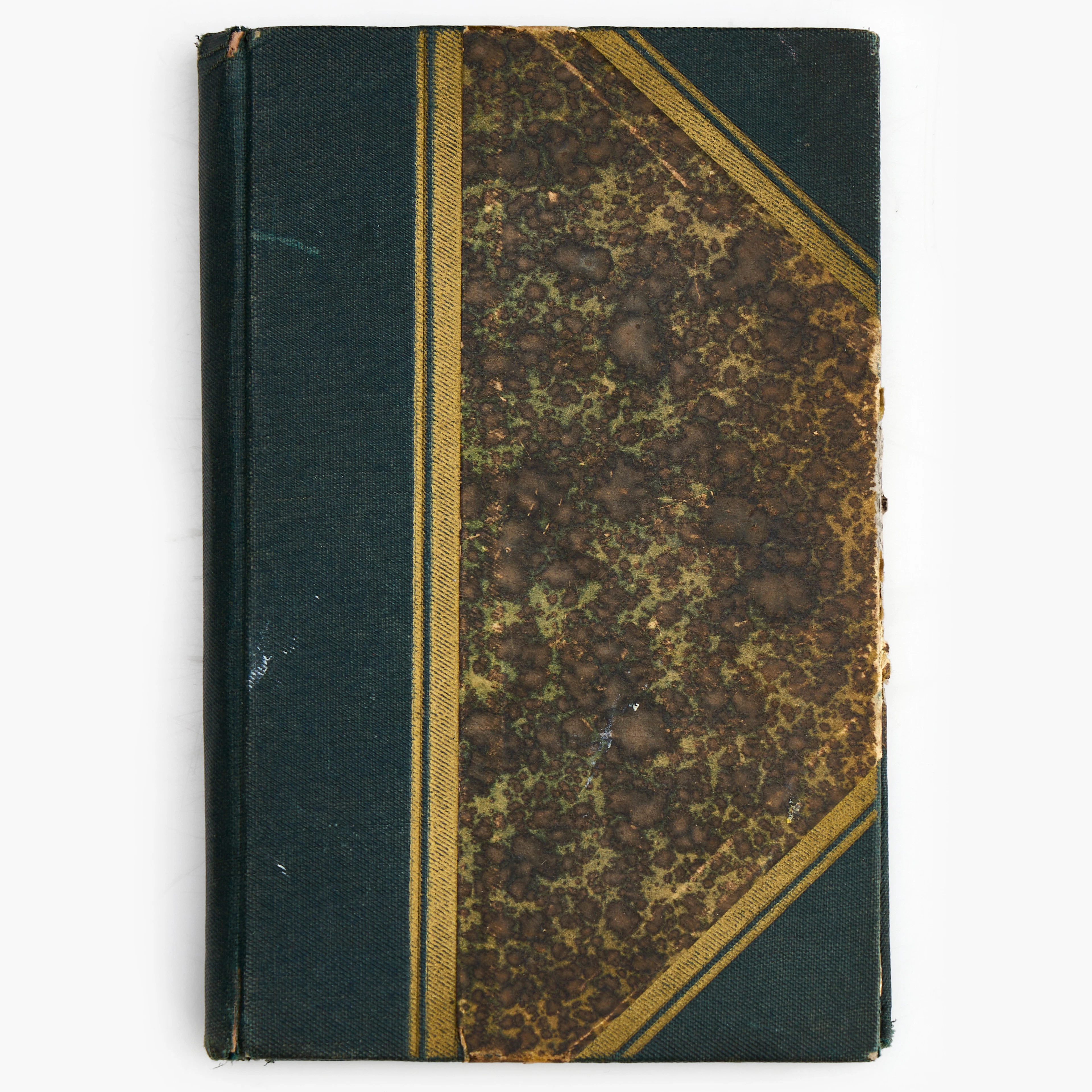
KARL NORDSTRÖM (Tjörn 1855-1923 Drottningholm). Anteckningsbok från 1920.
10/19/2026
€98.87
Est.: €359.1
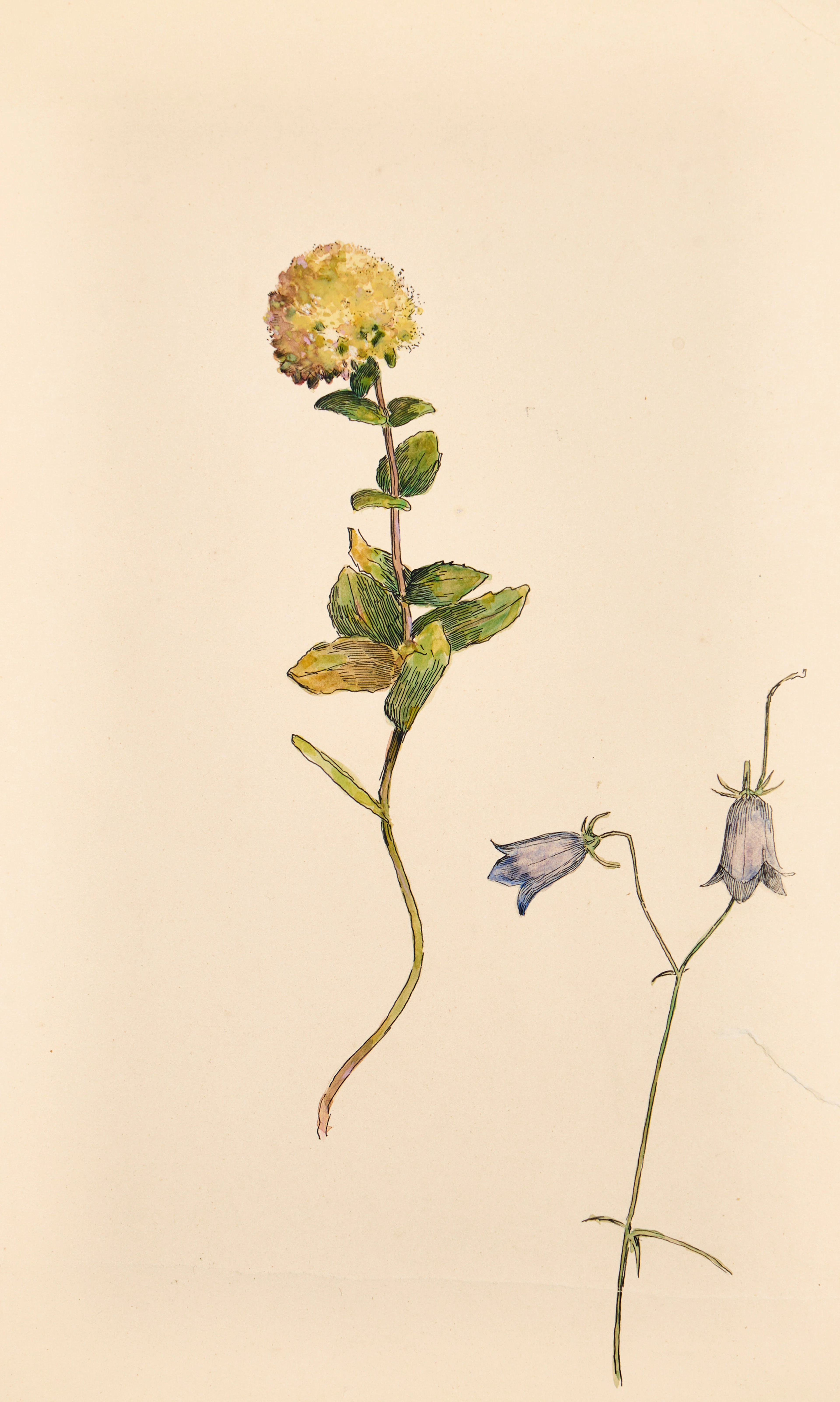
KARL NORDSTRÖM (Tjörn 1855-1923 Drottningholm). Studie av kärleksört
10/19/2026
€288.25
Est.: €538.66


OCT 27 | 4:00 PM
¡Lleva tu subasta a coleccionistas de todo el mundo!
Publica ahoraAl suscribirte, aceptas la política de privacidad. Cancela tu suscripción en cualquier momento.
Barnebys HQ
Brahegatan 10
BOX 5038
114 37 Stockholm
