



Todas las subastas / Arte, Pintura & obra gráfica / Antique County Map, Hertfordshire, Dutch, Framed Cartography, Blaeu, Carolean
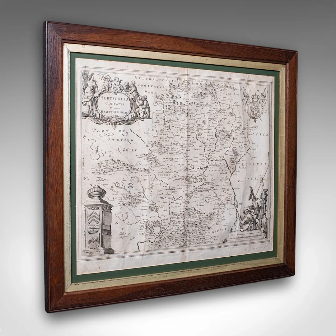
This is an antique county map of Hertfordshire. A Dutch, framed atlas engraving of cartographic interest by Joan Blaeu (1596 - 1673), dating to the mid 17th century and later, circa 1649. This is a fascinating antique county map of Hertfordshire, with fine cartographic interest and period annotations in Latin. A treat for county residents or cartographic collectors. Delivered ready to display. Max Width: 63.5cm (25'')Max Depth: 2cm (.75'')Max Height: 54.5cm (21.5'') Map Width: 50cm (19.75'')Map Height: 42cm (16.5'')
Estimación:€1,059.4
Ir a la subastaVer todos los artículos deLondon Fine AntiquesoArte, Pintura & obra gráfica
Estimación:
€1,059.4
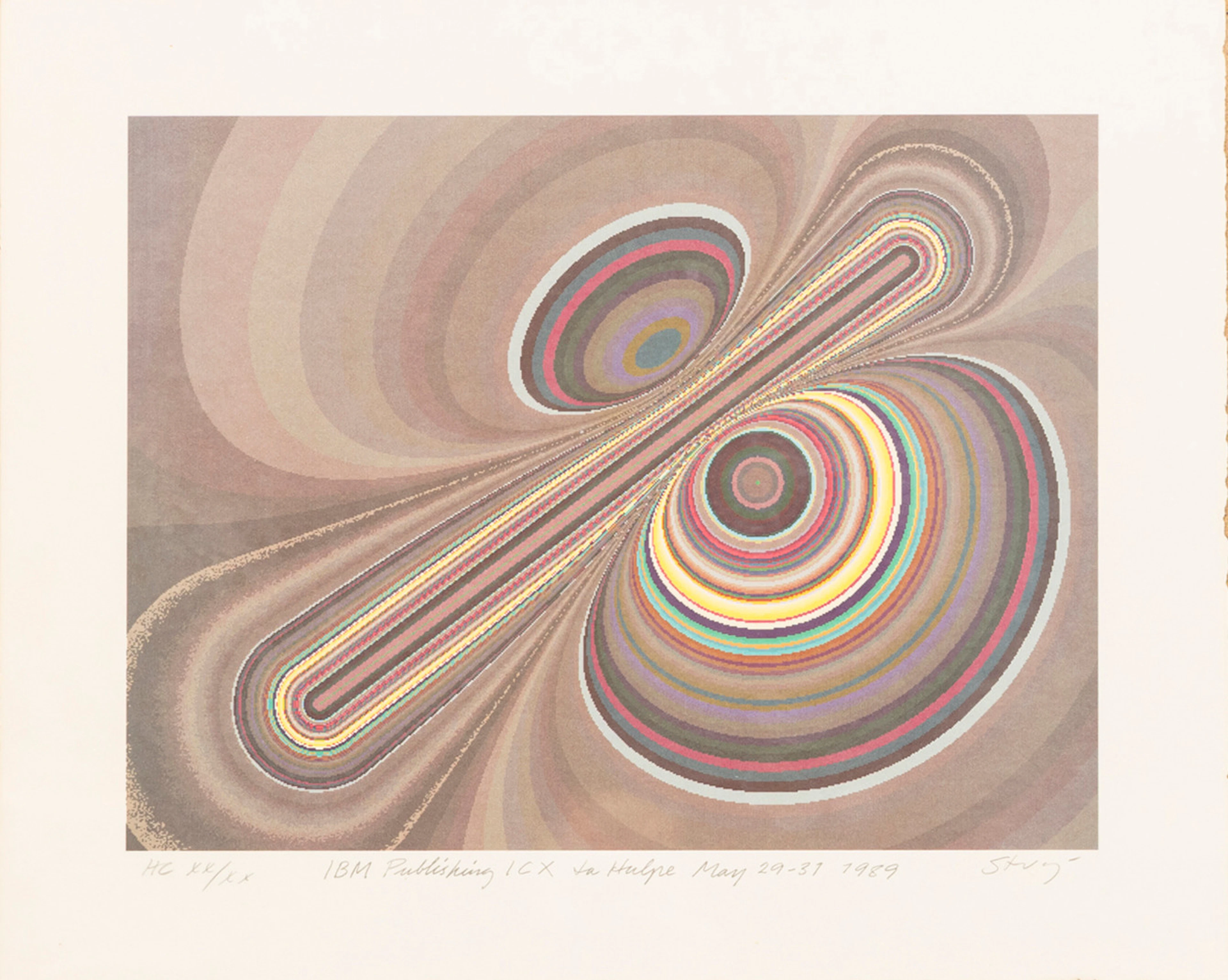
STURE JOHANNESSON. "La hulpe May", färglitografi, signerad, numrerad
10/15/2026
€35.91
Est.: €89.46
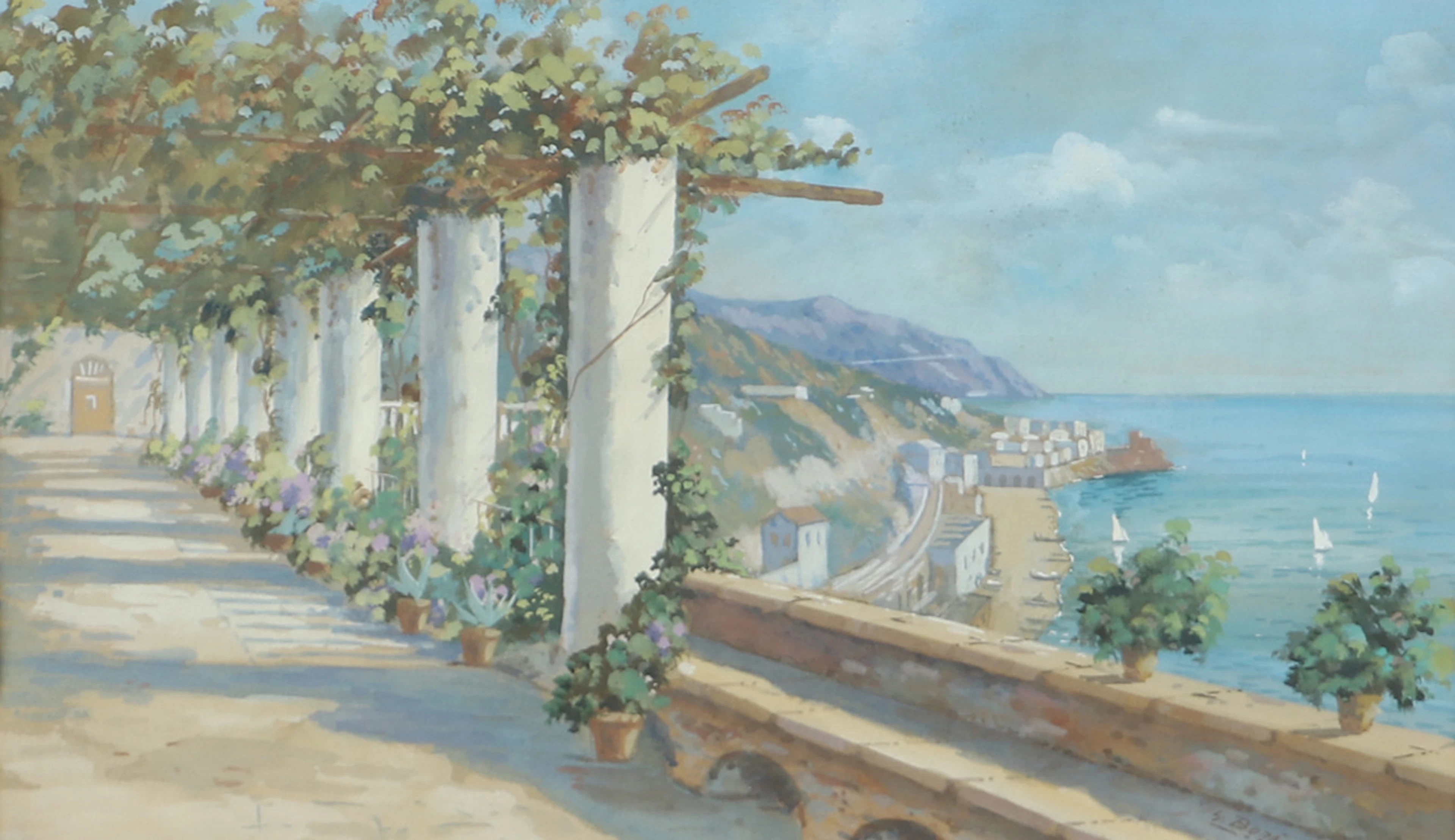
OIDENTIFIERAD KONSTNÄR. Sydländskt kustparti, akvarell, signerad Bora.
10/15/2026

€26.93
Est.: €35.71
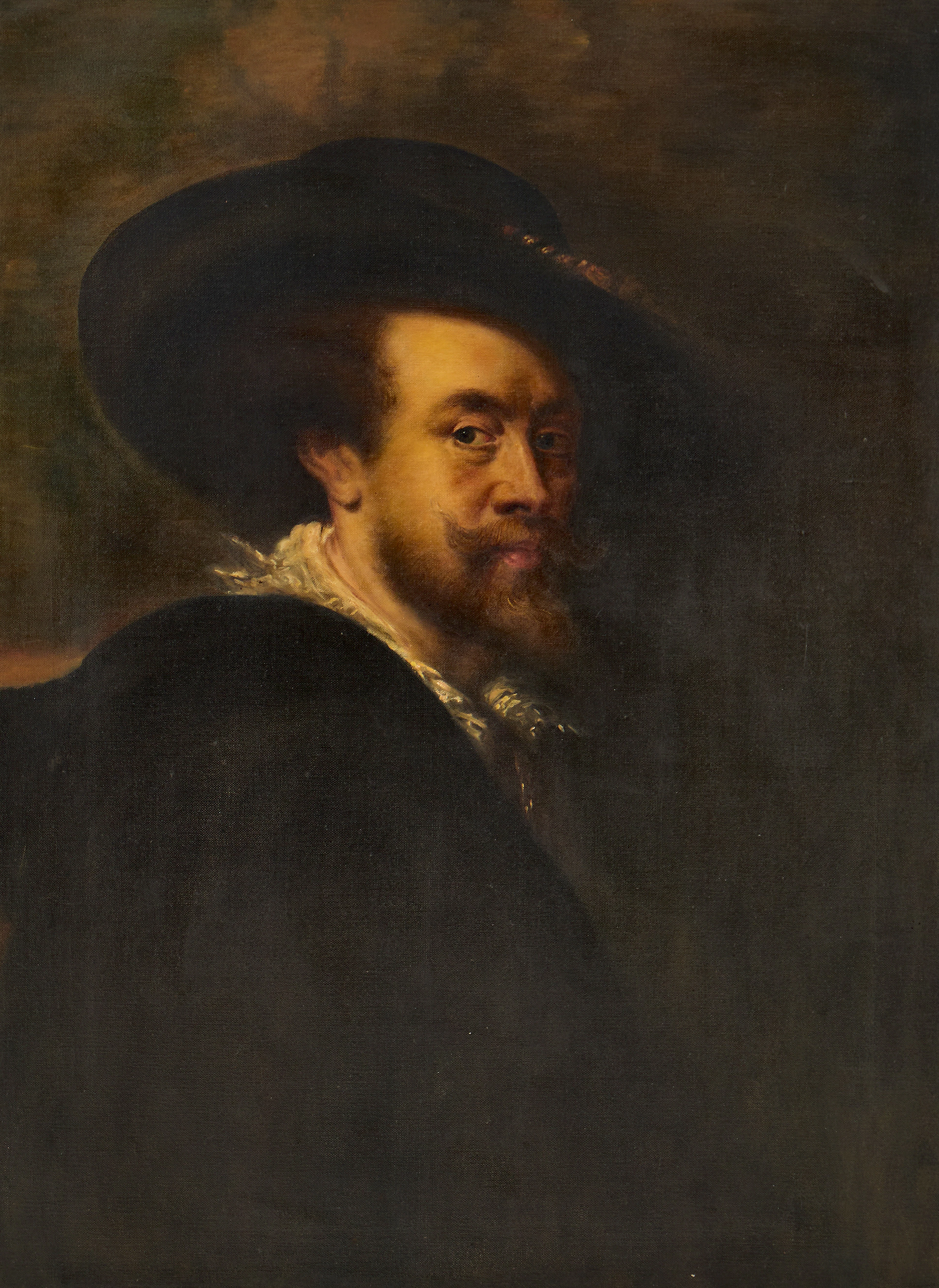
PETER PAUL RUBENS (Flandern, 1577-1640): Kopia efter, Självporträtt
10/15/2026
€269.33
Est.: €357.87


OCT 27 | 4:00 PM
¡Lleva tu subasta a coleccionistas de todo el mundo!
Publica ahoraAl suscribirte, aceptas la política de privacidad. Cancela tu suscripción en cualquier momento.
Barnebys HQ
Brahegatan 10
BOX 5038
114 37 Stockholm
