






OCT 27 | 4:00 PM

Todas las subastas / Libros, mapas, papel & manuscritos / Antique County Map, Cheshire, English, Framed Cartography, Robert
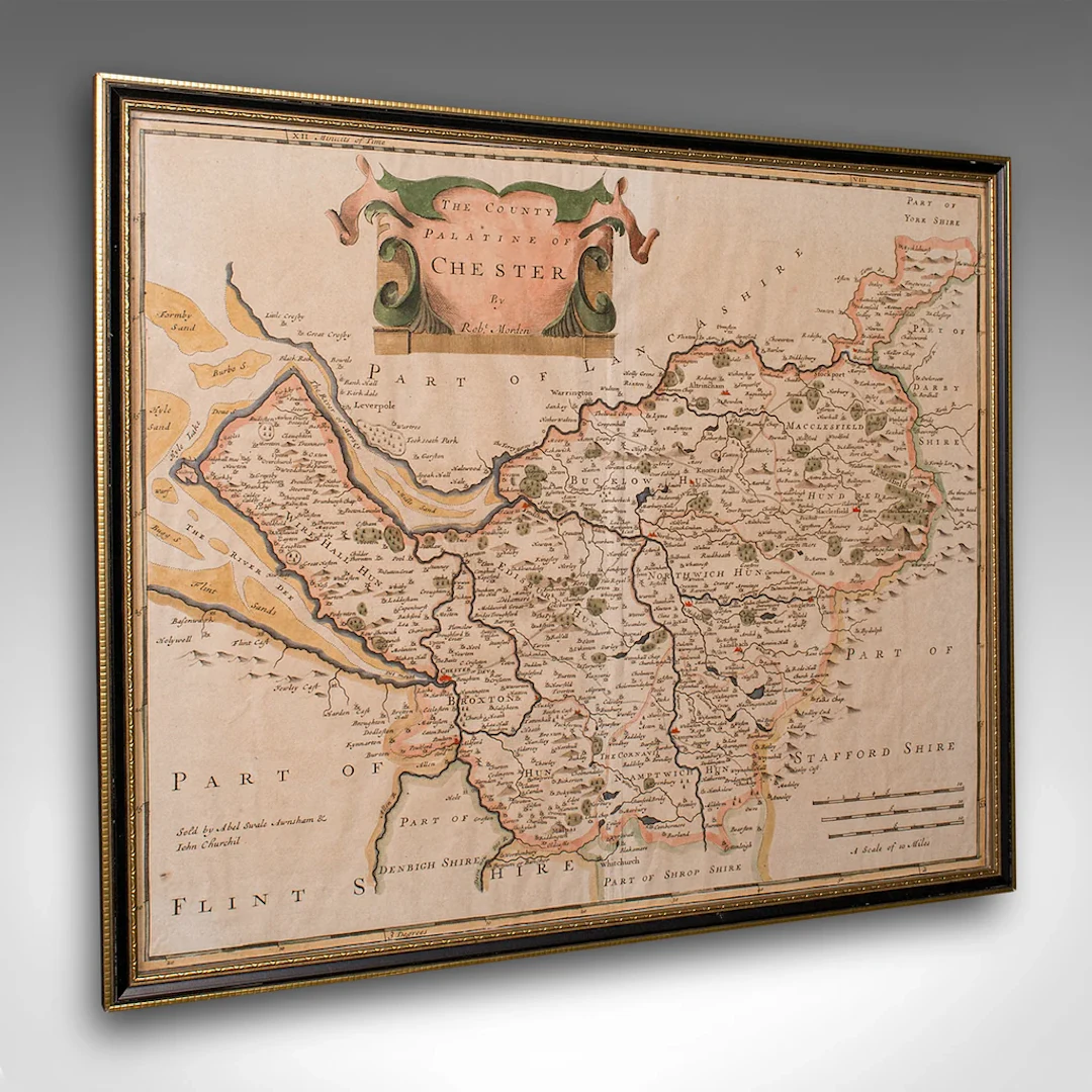
This is an antique county map of Cheshire, an English framed cartographic engraving by Robert Morden, dating to the early Georgian period, circa 1720. A charming and historically rich representation of the county, this Victorian period hand-coloured engraving captures the elegance of early 18th century mapmaking. This antique county map is a delightful and informative decorative piece, steeped in early Georgian geography. An ideal addition to the traditional study, country house interior, or heritage gallery wall. Delivered ready to display. Max Width: 44cm (17.25'')Max Depth: 1cm (.5'')Max Height: 37.5cm (14.75'') Map Width: 41cm (16.25'')Map Height: 34.5cm (13.5'')
Estimación:€680.62
Ir a la subastaVer todos los artículos deLondon Fine AntiquesoLibros, mapas, papel & manuscritos
Estimación:
€680.62
1 bt. Champagne Dom Pérignon, Moët et Chandon 2013 A (hf/in). Oc.
10/15/2026

€160.51
Est.: €187.18
1 bt. Champagne "Cristal", Louis Roederer 2016 A (hf/in). Oc. – Bruun
10/15/2026
€187.26
Est.: €187.18
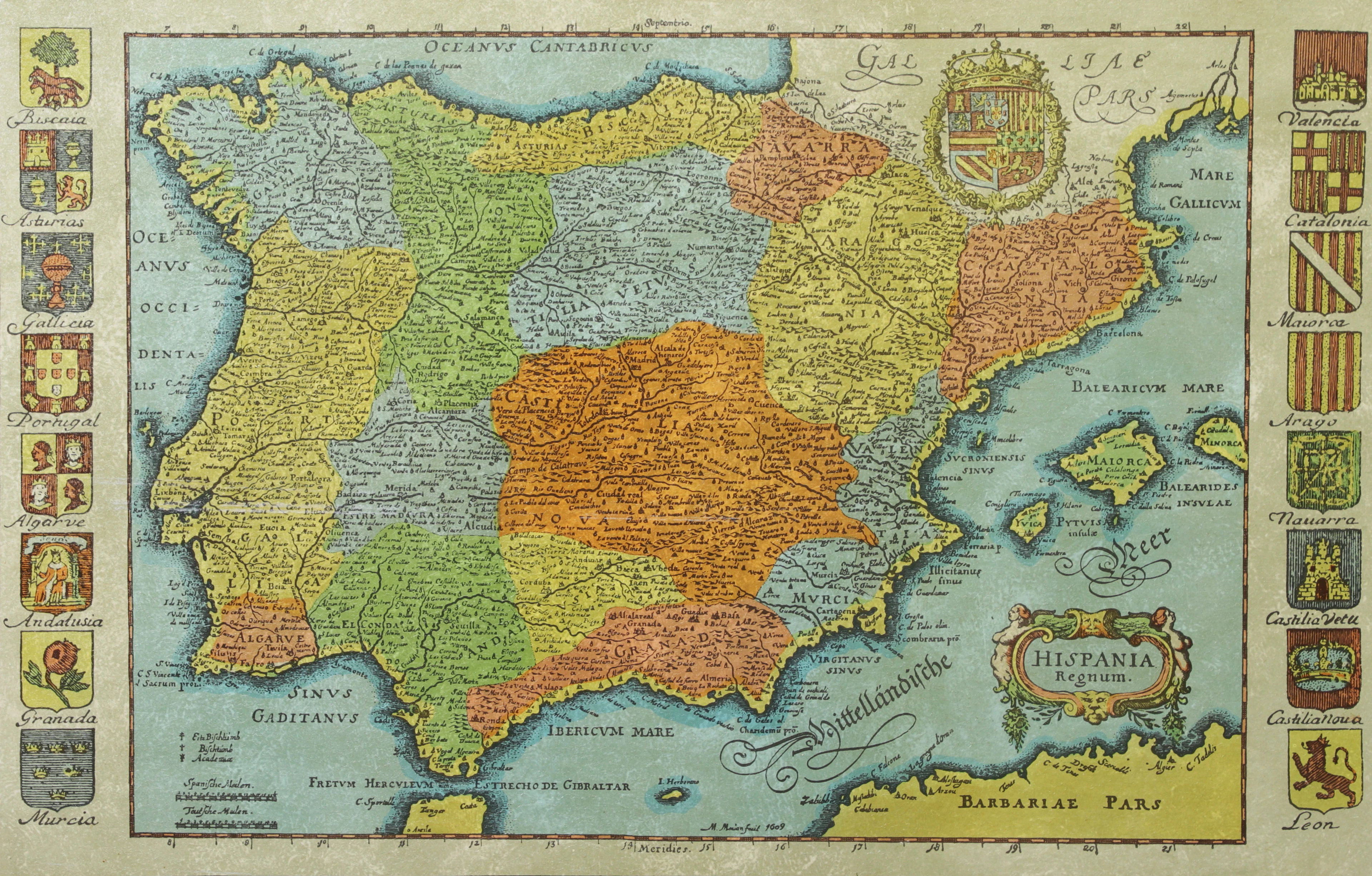
KARTA, Spanien, inramad, 1900-talets andra hälft.
10/14/2026
€26.88
Est.: €44.79
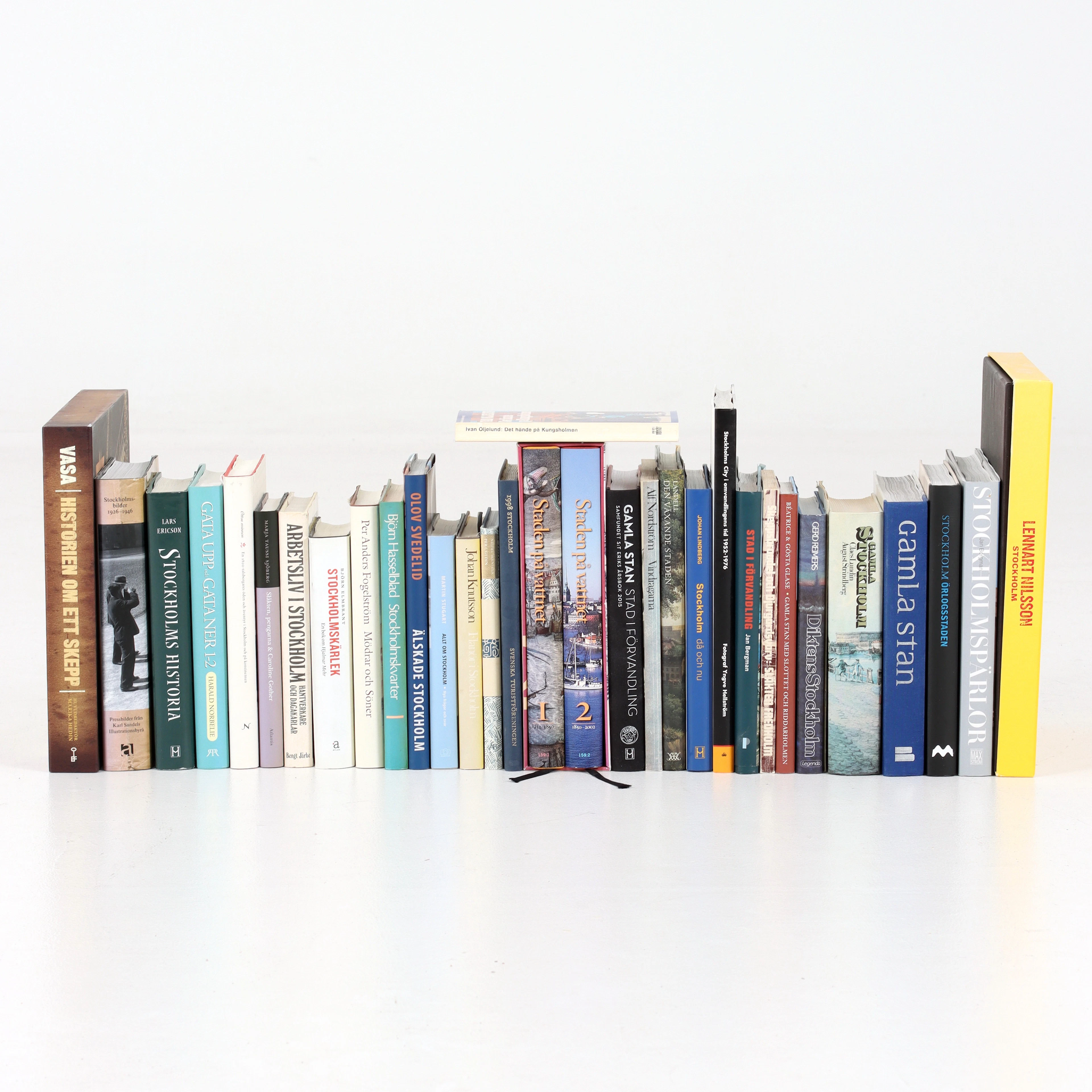
BÖCKER om STOCKHOLM, 31 st, 1900-talets senare del.
10/14/2026
€47.04
Est.: €53.74
OCT 27 | 4:00 PM
¡Lleva tu subasta a coleccionistas de todo el mundo!
Publica ahoraAl suscribirte, aceptas la política de privacidad. Cancela tu suscripción en cualquier momento.
Barnebys HQ
Brahegatan 10
BOX 5038
114 37 Stockholm
